
“We are ever on the threshold of new journeys and new discoveries.” Joseph B. Wirthlin

Day 1
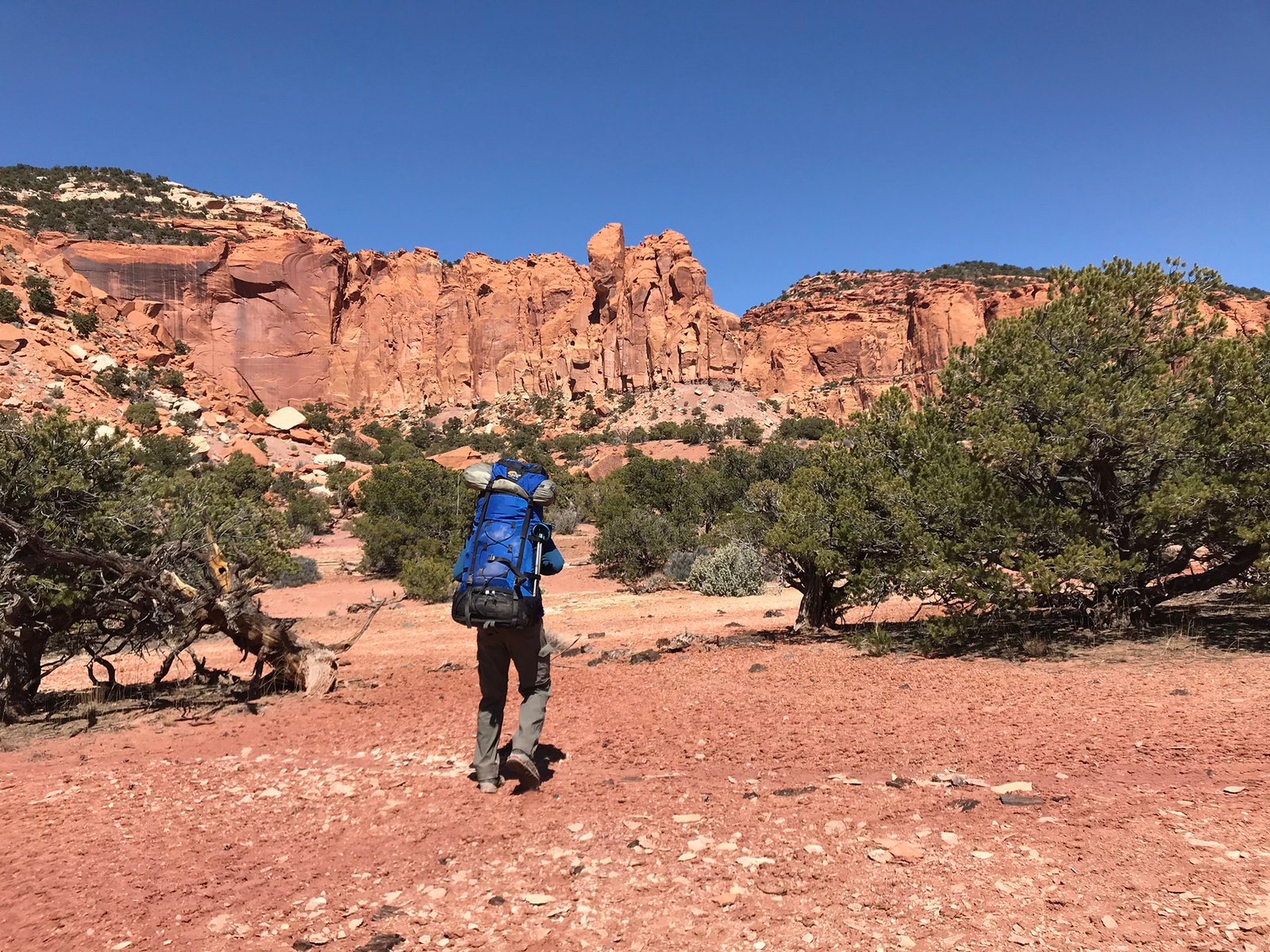
It’s that time of year. Winter is beginning to fade, though it’s pretty slow here at 8400 feet. It was time to go in search of the sun. We knew we wanted to get out to southern Utah. That meant Escalante, San Rafael Swell, Canyonlands, or Capitol Reef. After reading through many hiking books and posts online, we narrowed it down. Further investigation led us to settle on Upper and Lower Spring Canyon in Capitol Reef. Relatively short to shake out the bugs and relatively known so we wouldn’t get lost.
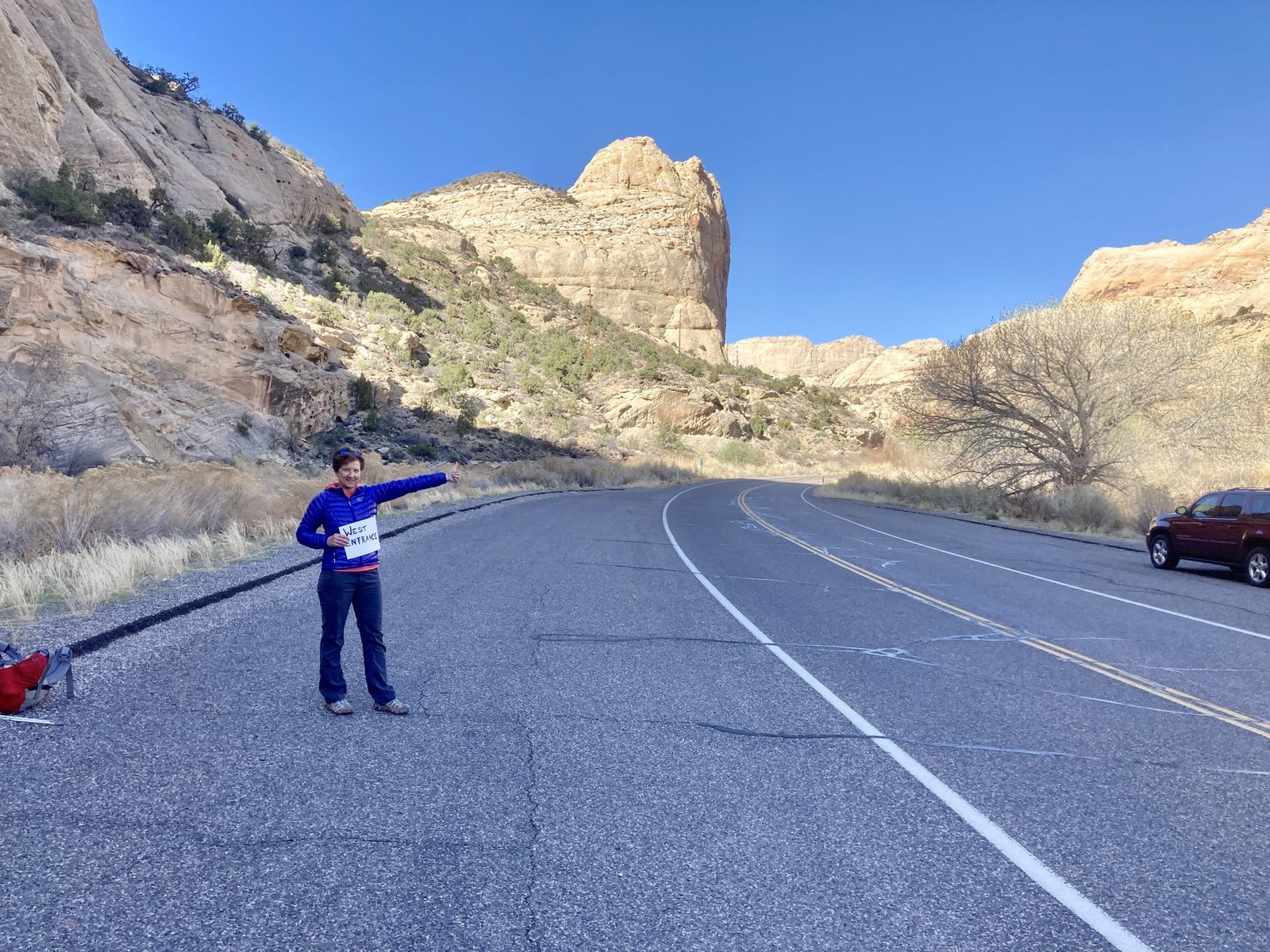
When choosing routes, it’s logistically best to find those that are loop hikes. That way, you leave from and return to the same location–where you parked your car. However, this hike was what they call a point-to-point. Problem was, we only had one car. So, we did something I hadn’t done since I was about 10. We hitchhiked from the finish to the trailhead. 11 miles up the road. After about 20 minutes of several cars passing us by, one finally stopped for us. In no time, we were on the trail.
Off on another adventure
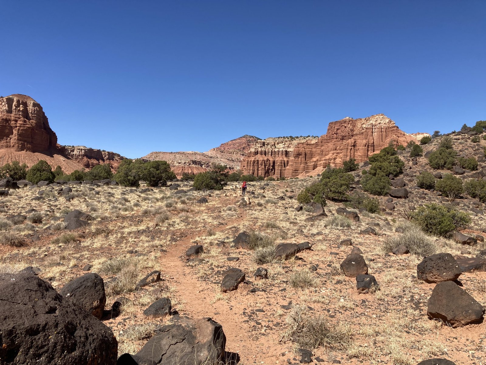
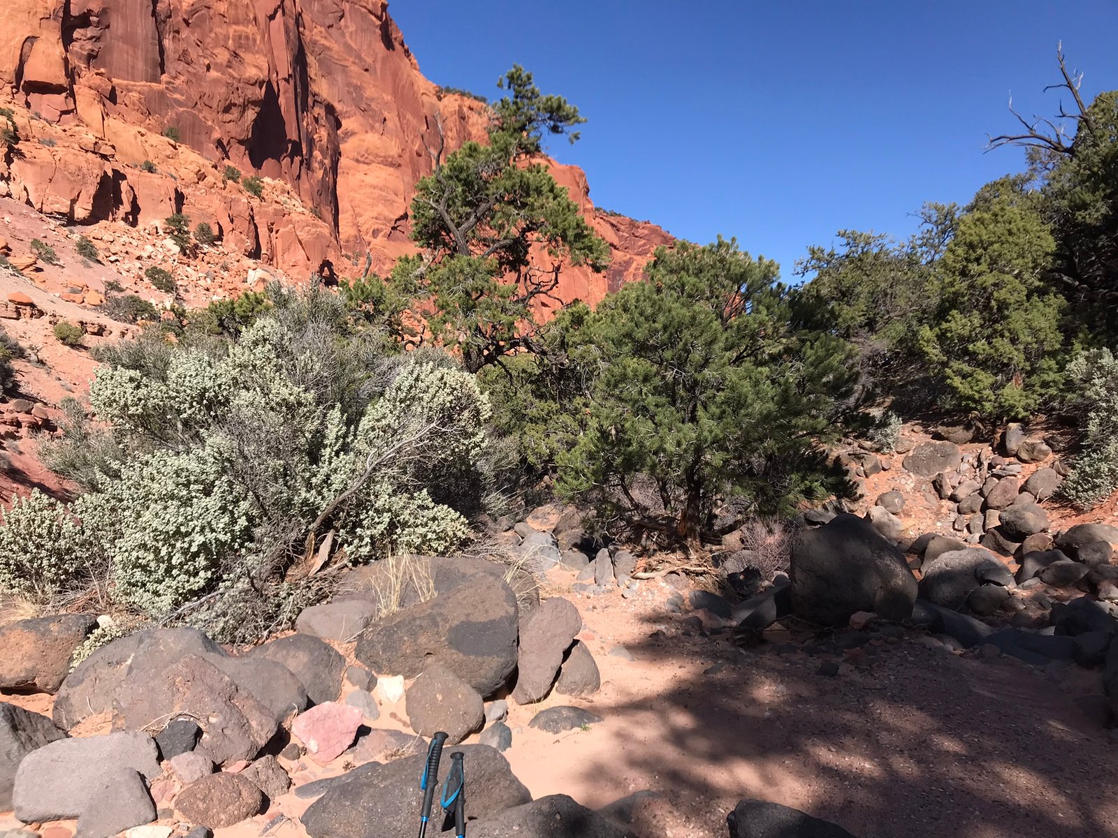
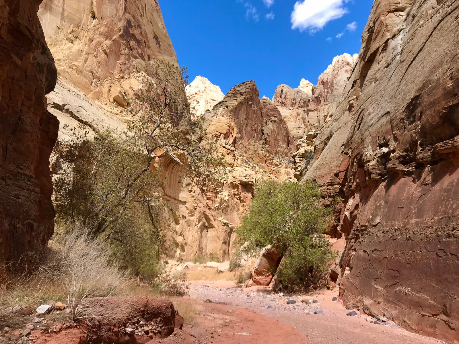
While Lower Spring Canyon sees a fair amount of traffic, not many visit Upper Spring Canyon. It’s long, a bit strenuous, and doesn’t have the “view at every corner” that Lower Spring Canyon has. Still, there’s something to be said for solitude. They day was beautiful.
Being so warm, it was odd to find leftover snow (ice).
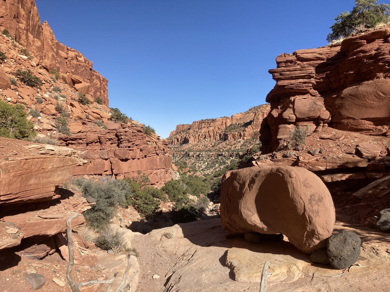
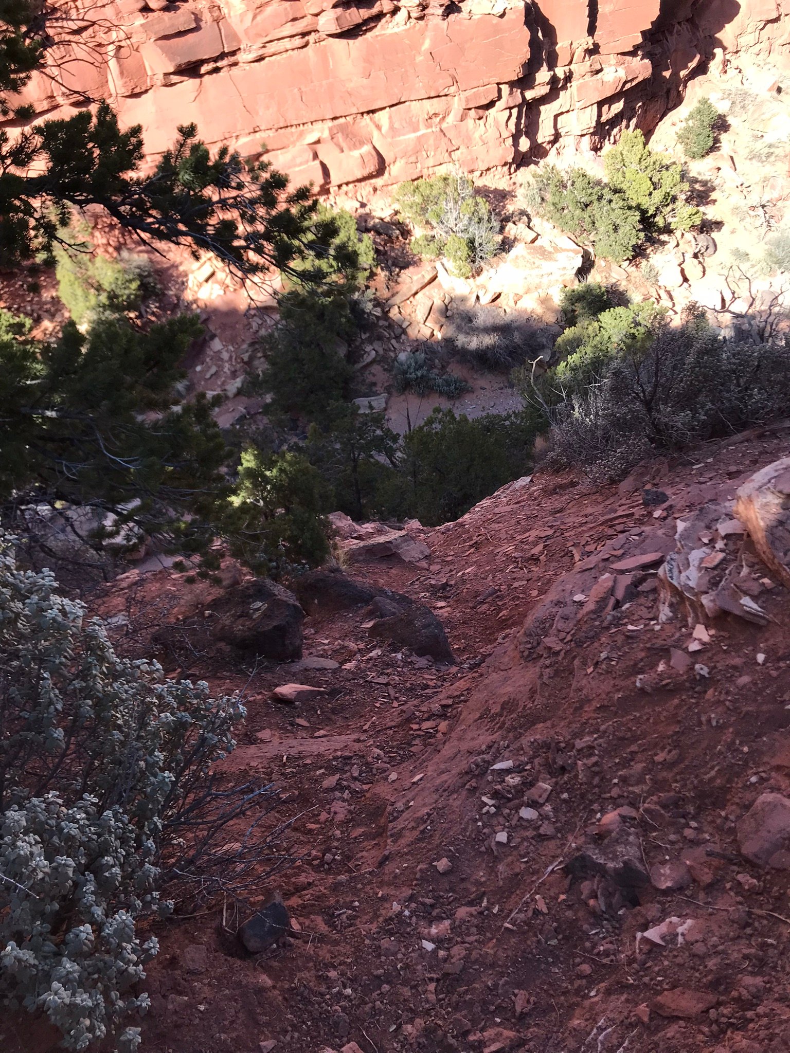
After about 2 miles of trail, it dies out in Sulphur Creek – a dry wash. You then pick your way through sand, rocks, and small boulders as you head upstream for another 2.5 miles before making a hard right and heading up a steep ridge.
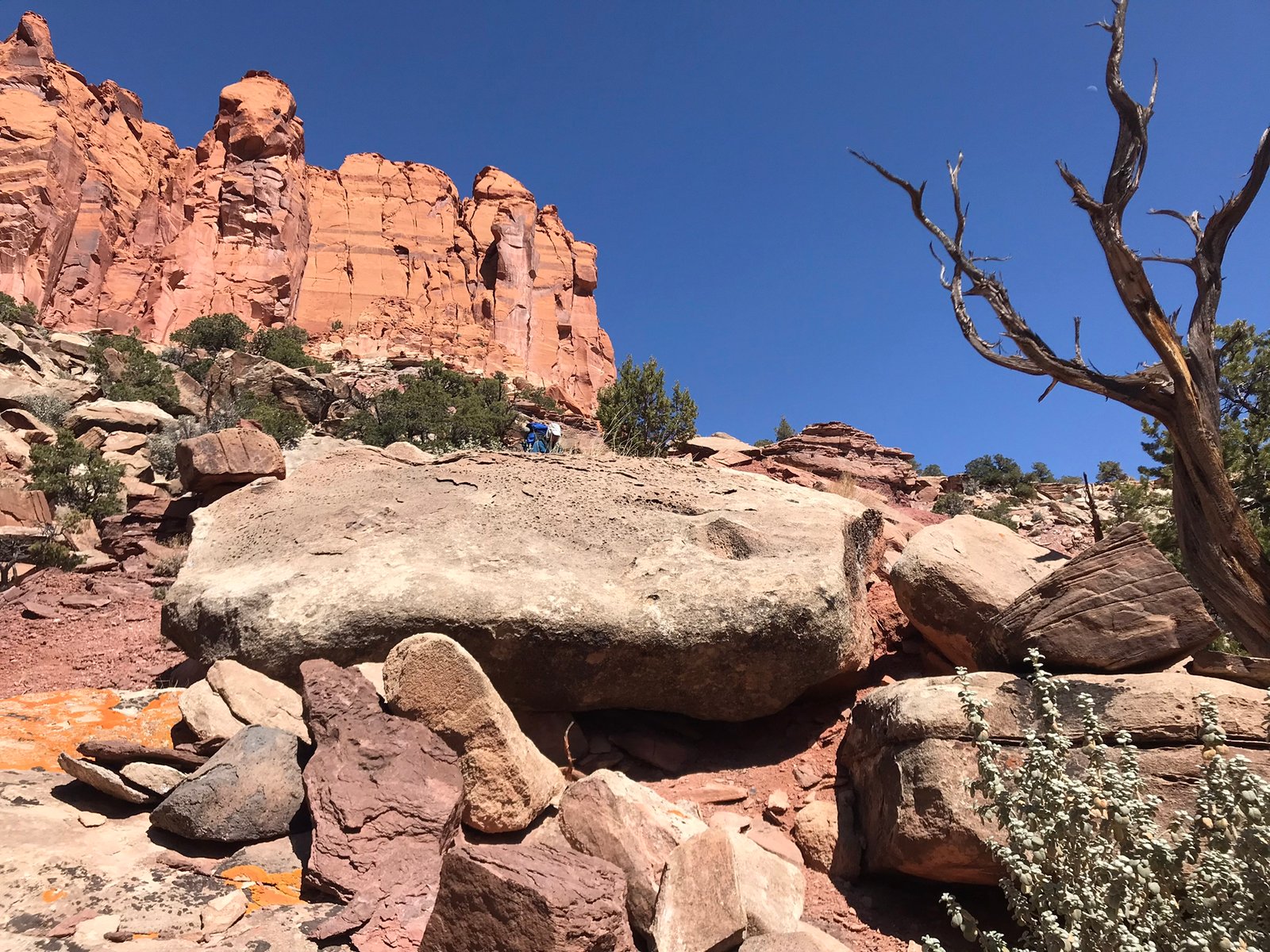
Once on top, you reach a beautifully flat Pinion Pine and Juniper forest. There were even petrified wood pieces laying about. It was heavenly. But, we still needed to get over the wall in front to get to the canyon on the other side.
Picked our way up boulders and through trees to get to the notch.
At the top, it was all downhill from here, right? Well, yes, but. Looking down the chute I worried about how I could get enough traction to keep from sliding down into the next obstacle below – or further. I took off my pack for Lenny to go back and retrieve after he got his down. It was a bit hairy. Though, there were a few fun obstacles along the way.
Yes, the chute drops off in the first photo. Fun to duck under a large, wedged boulder.
Landed at the canyon floor
Yay! We made it to the canyon floor!. Now we just had about 2 miles of walking down the dry bed. Except, it was filled with large boulders.

Yay! We made it to the canyon floor!. Now we just had about 2 miles of walking down the dry bed. Except, it was filled with large boulders.
Then came what was probably the most difficult part of the trip.
The canyon abruptly dropped off about 50ft. It’s called a pour-off.
The way to get around it is to scramble up the side hill then back down below it.
But…
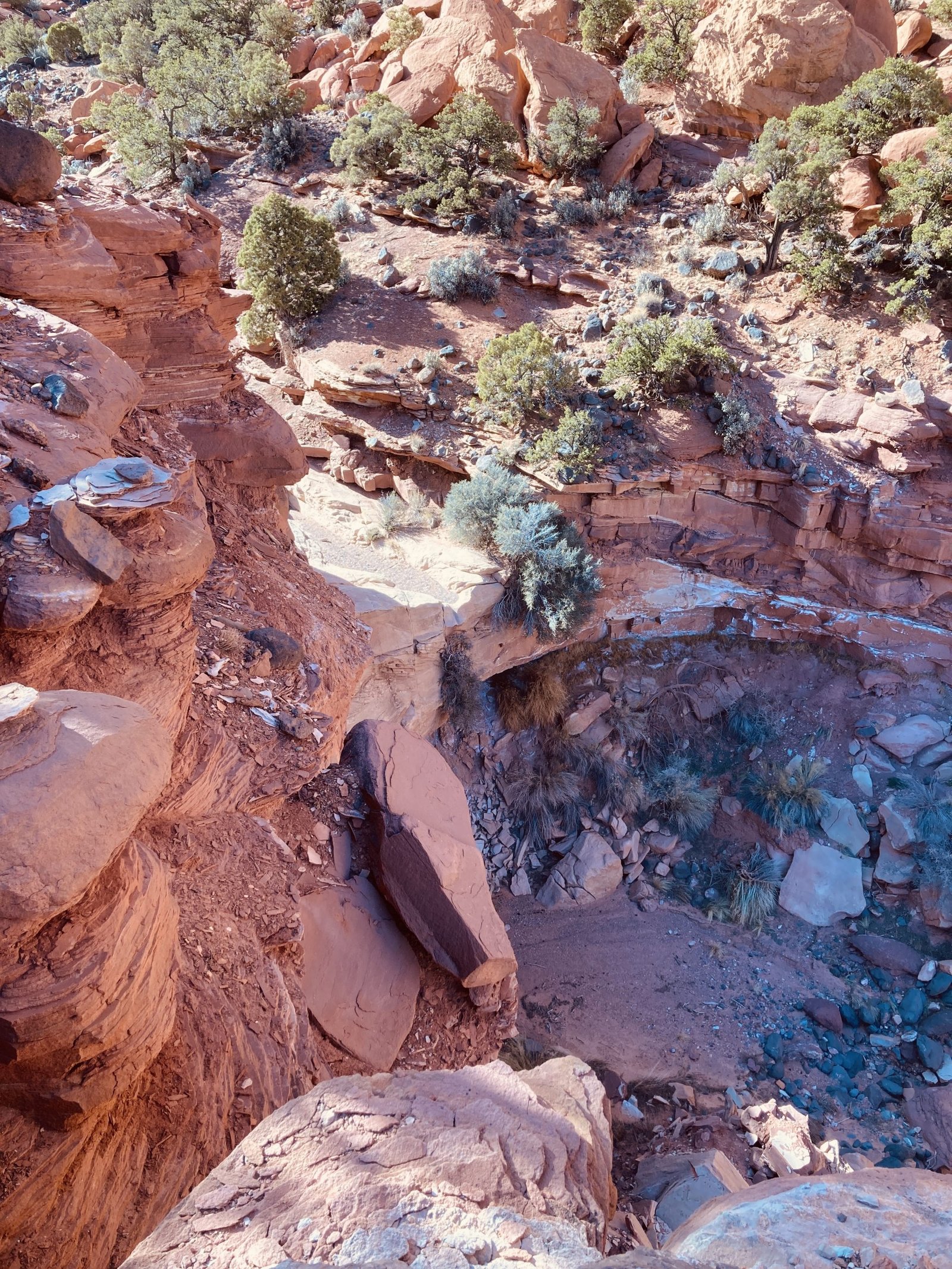
These three photos show the start of the pour-off, what it looks like looking down, and the slippery, nearly straight-down route you needed to take. Who thought that was a good idea??
It took some time, but again, I left my pack behind for Lenny to retrieve. He is really strong and confident in situations like this, fortunately. And, once at the bottom, we were back on our way.
It wasn’t long before we started seeing tracks. Lenny saw them first and didn’t say anything. It was pretty obvious that a mountain lion had been around not long before.

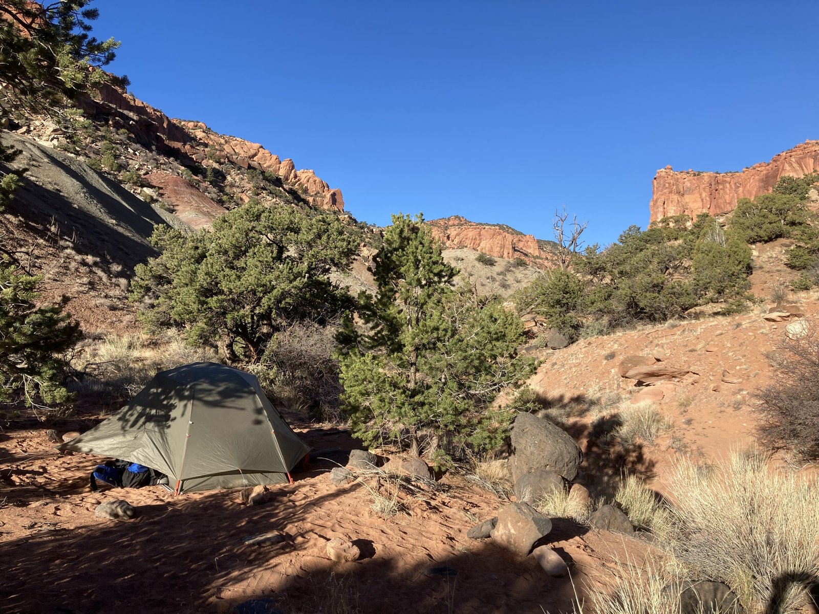
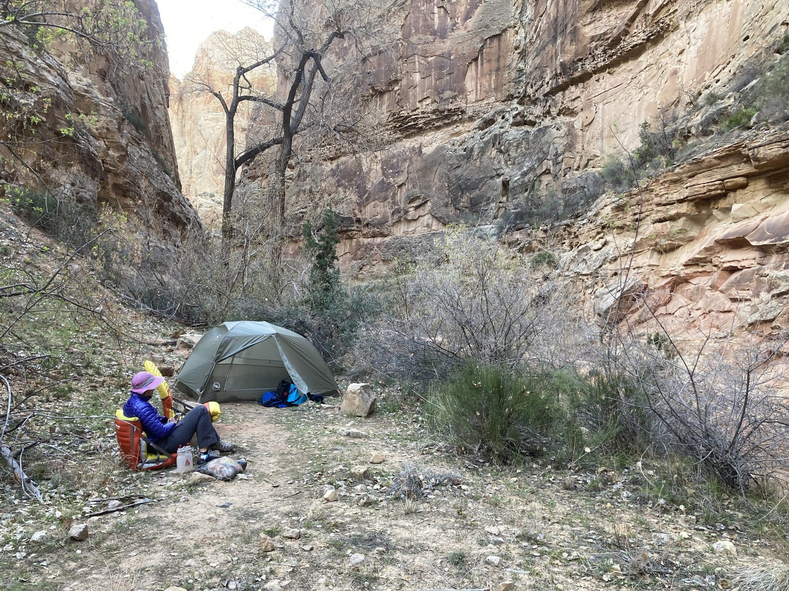
A little nervous about that, but we kept going. It’s amazing how long it can take to just go a couple miles when you’re walking in soft sand and hopping boulders with a heavy pack. We arrived at the confluence with the north fork just about dinner time and set up camp above the wash.
Day 2
“We’re constantly shown the “real world” on our screens but we come face to face with the real world out on the trail.”
As we were packing up to head out on day 2, enjoying our solitude, two trail runners ran by! What? Wow. We headed off behind them. Once again, following the mountain lion tracks.
Tracks, sand, slick rock, and a cool breakfast spot.
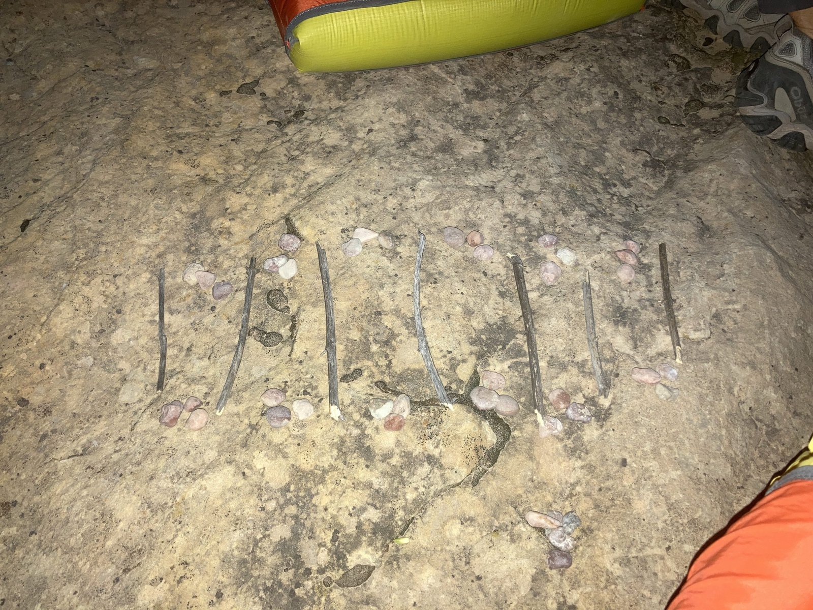
After following the mountain lion tracks for another 5 miles, we came across the “kill” spot. Lots of tracks in all directions, struggle tracks, fur, and then a kill drag path off into the bushes.
Cat tracks have a 3-lobe pad and the two middle toes are different lengths.
Well, that was exciting. No, we did not go investigate the kill. Possibly two kills given the two different drag paths and multiple paw prints. At least we knew they were fed and happy. We carried on a bit relieved.
Thou Shall Not Pass
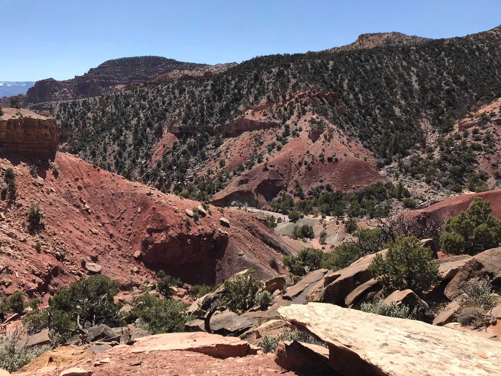
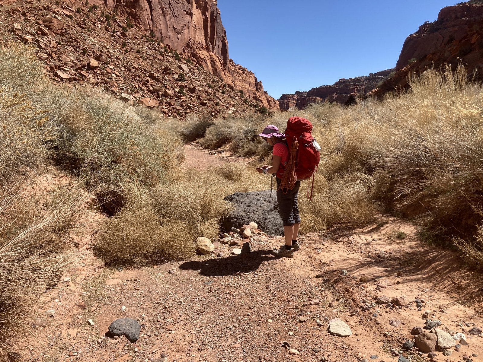
Up and carefully around the tumbleweeds. And continued down the canyon. Our goal was to get to water by nightfall. We knew there was a spring to be found so, that was where we were headed, tired of carrying water for two days now.
The scenery continued to be amazing. More tumbleweeds, tall, orange walls, funny shaped rocks, large alcoves, signs of animal life, green and purple slick rock, and finally we made camp at the spring. It was a great site though the “no-see-ums” (small gnats) bit me all over my head.
Day 3
“An early morning walk is a blessing for the whole day.” – Henry David Thoreau
Day 3 on our journey down the canyon. This day would see us meet up with Lower Spring Canyon and trek about 2/3 the way down it.
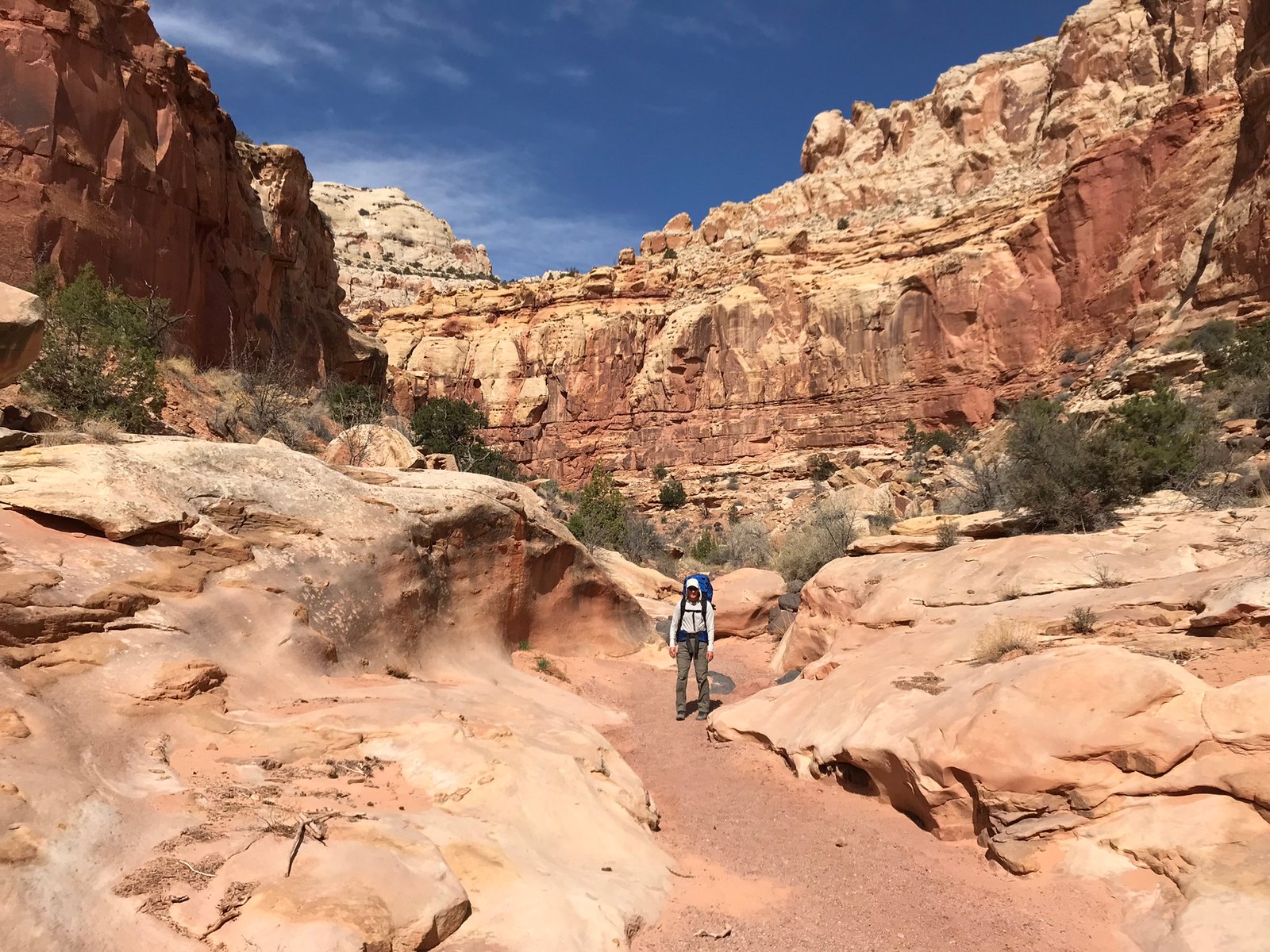
Word has it that Lower Spring Canyon has much more to offer in terms of scenery. We found that mostly true – along with a bunch of other people. Lower Spring Canyon is traveled pretty frequently, even if hikers aren’t going the whole distance. There is easy access to the top of Lower Spring Canyon from Chimney Rock.
Next comes the third challenge. There is another pour-off that you must hike around. As the park brochure explains, it’s 100 feet of extreme exposure. Not being one to like exposure, I dropped my pack so that I would have my full balance. I then followed Lenny by only looking at his feet, resisting any temptation to look down.

This part of the bypass was the easy part! But you can see what it was like in the video below.
At the bottom, we took some time to explore the slot canyon! It was pretty cool.
After that, we carried on down the canyon where beauty was at every turn. Our goal was yet a final spring.
At last, we reached the spring, about 3+ miles before the end of the canyon, and made camp for the night. We arrived early enough to set up camp, explore a bit, have dinner, and play mancala.
Day 4
“Do not follow where the path may lead. Go instead where there is no path and leave a trail.” – Ralph Waldo Emerson
This would be a short day as we only had a few miles and one challenge left. After a night of little sleep, laying awake, eyes wide open after hearing a large rock fall in the canyon near us at 1:30am, we packed up and headed out for one last day.

Big rock but not the one that fell.
Again, around every bend was more great scenery, but the final challenge was still looming.
And, finally, we arrived. The Fremont River. There is no bridge. It’s spring and there’s runoff. Ranger said it would be thigh deep and cold.
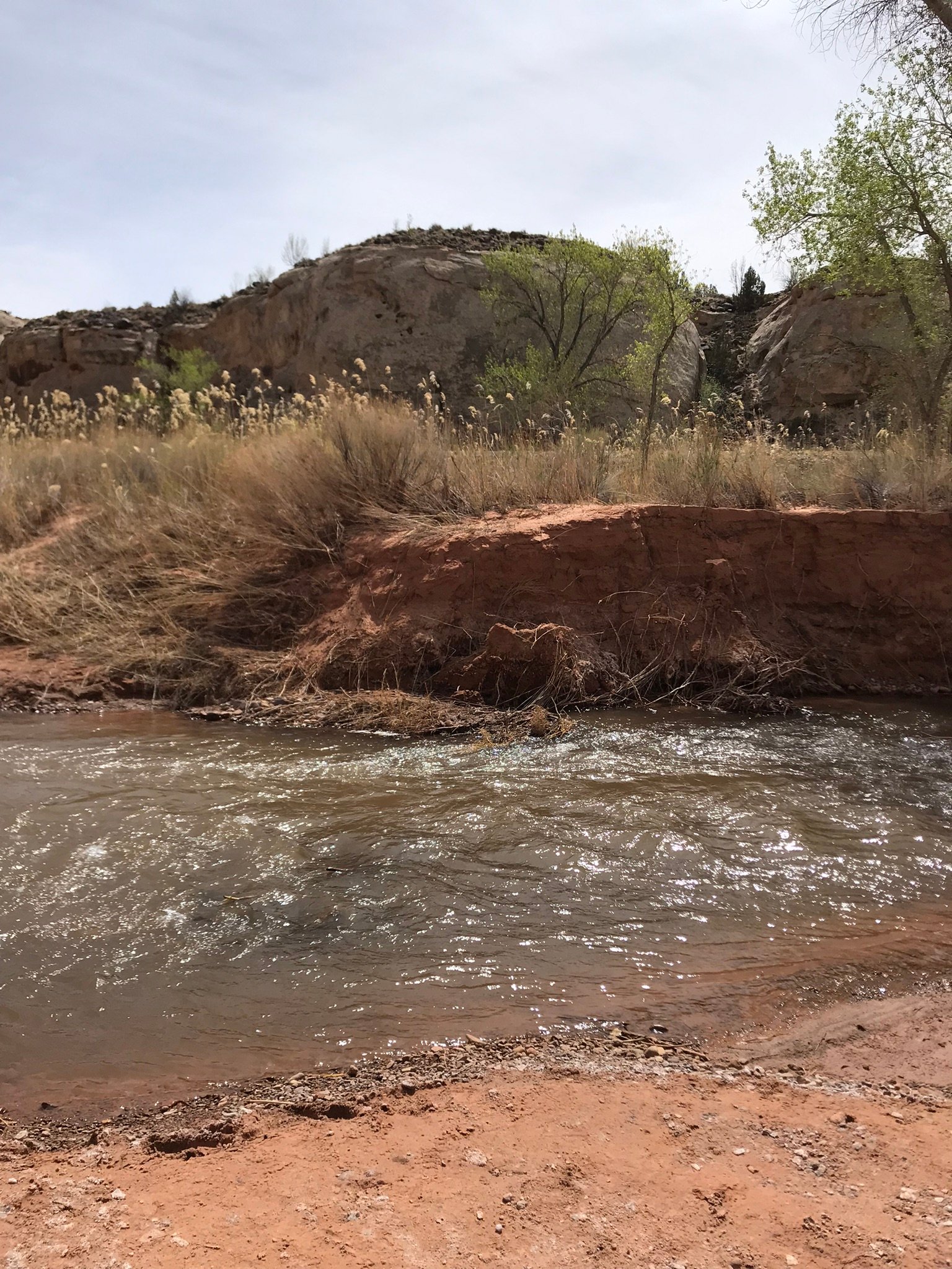
We hiked up and down the river a bit, trying to find the right spot to cross. Our car was just on the other side. We finally found a spot to cross and guess what? It wasn’t that bad!
“Wilderness is not a luxury but a necessity of the human spirit, and as vital to our lives as water and good bread.” – Edward Abbey
The End
#goplayoutside