April 11 - 19, 2026
“Go anyway. The unknown is where everything worth finding lives.” ~ Anonymous
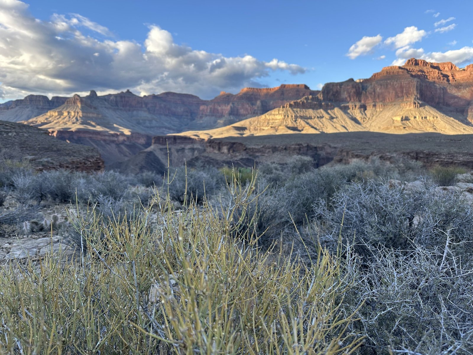
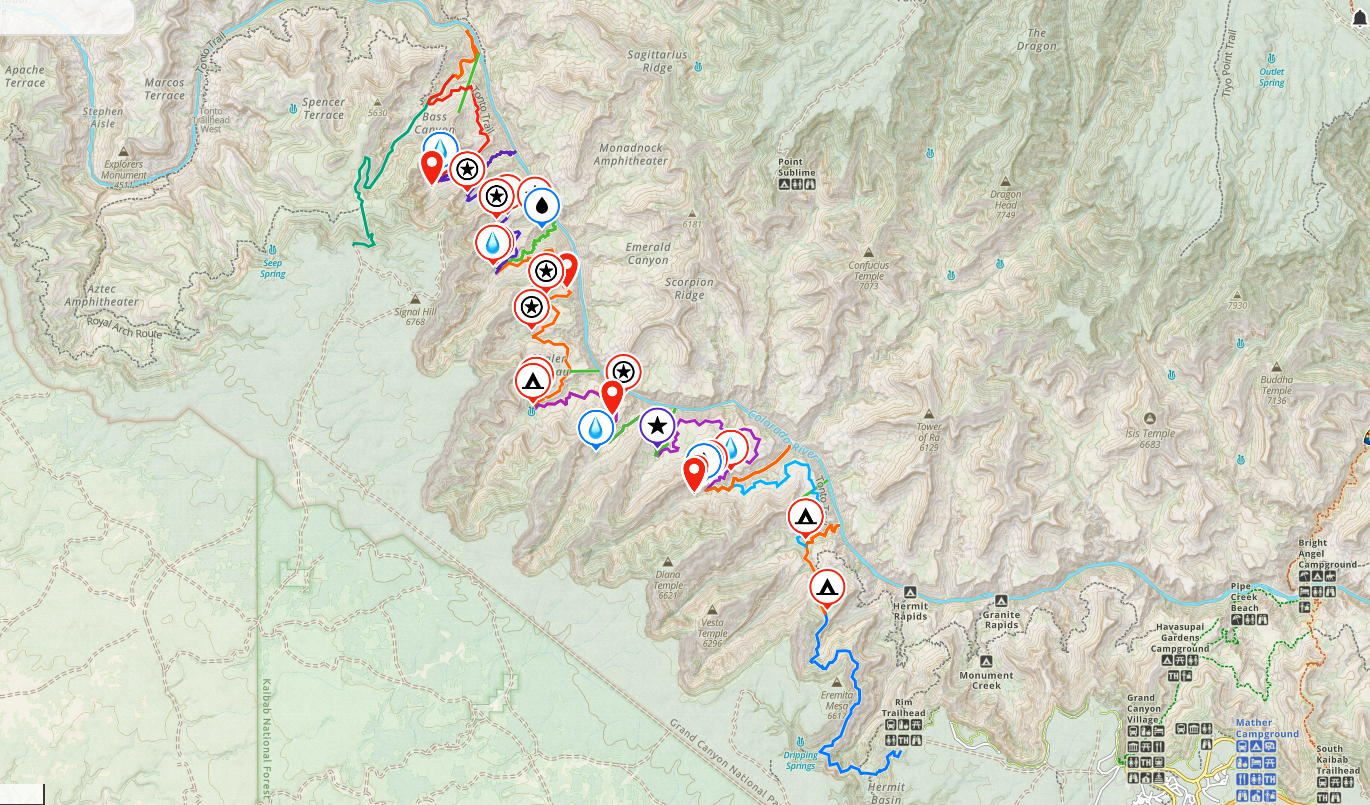
The Gems route in the Grand Canyon follows the South Bass, Tonto, and Boucher trails. It’s not especially technically difficult but, is very arduous. The biggest issue is finding water and shade. I researched this route pretty heavily, marking any place others had found water. And, it had been an unusually dry winter. However, we felt relatively confident we’d be ok with the potential routes to the river as a backup.
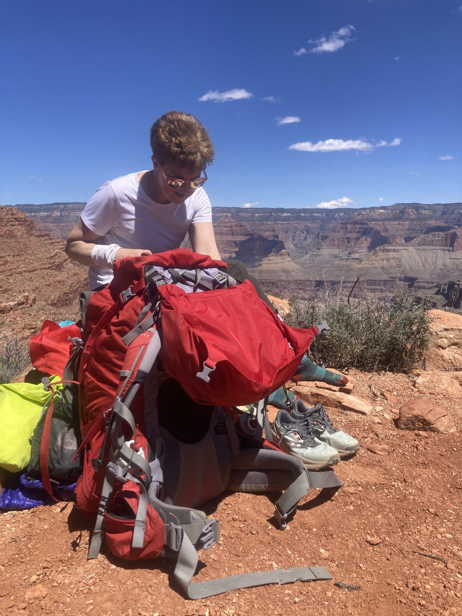
A bit of a backstory…On Valentine’s Day, just 8 weeks before we were to drop in for this 9-day backpack trip, I tore my meniscus. I was unable to bear any weight for almost 5 weeks, meaning I only had 3 weeks to determine whether I could do this trip or not. I saw a PT who gave me a couple exercises but, then was gone until a week before the start date. I saw her 3 days before we were to leave and fortunately, she gave her blessing.
She did say it may be a bit painful, especially on the downhills, and I may have some slight relapses but likely wouldn’t do any further damage. So, the trip was on!
Day One - April 11, 2026
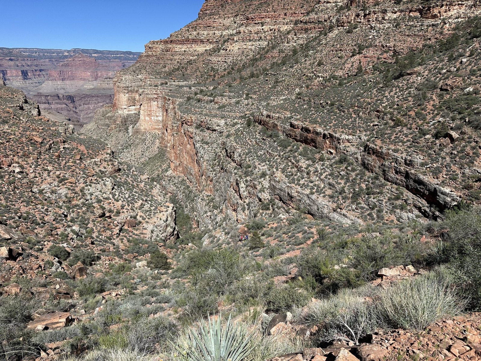
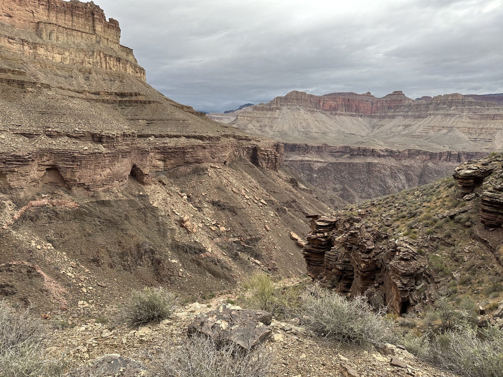
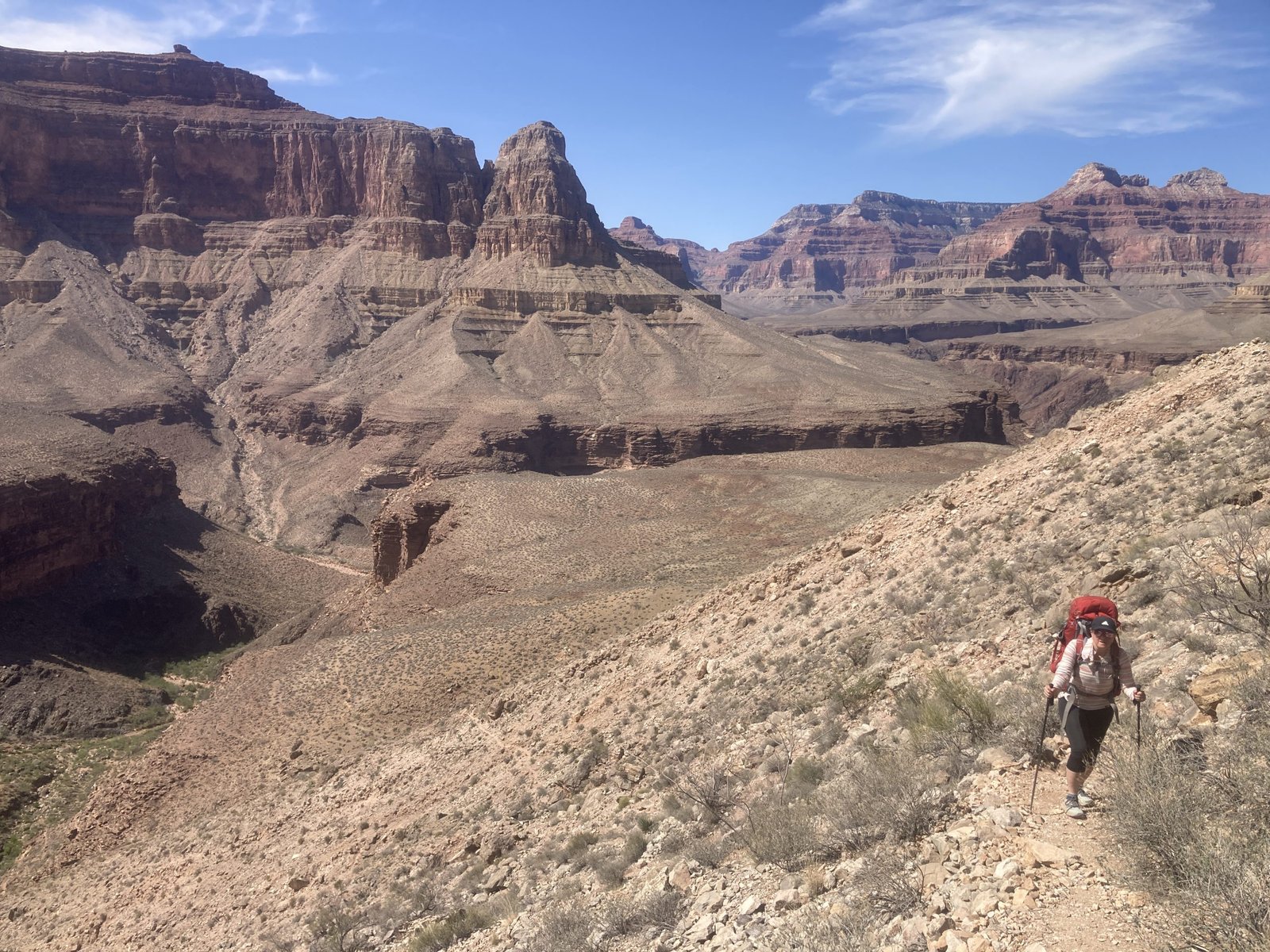
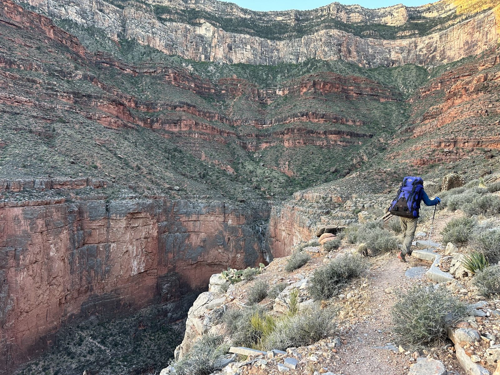
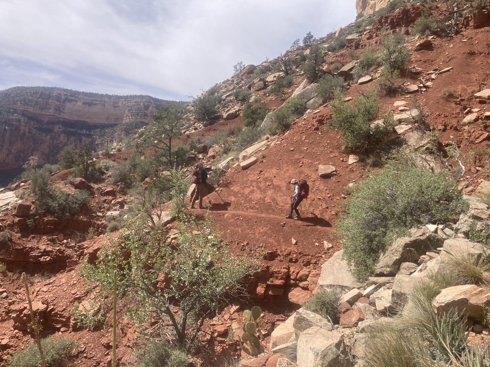
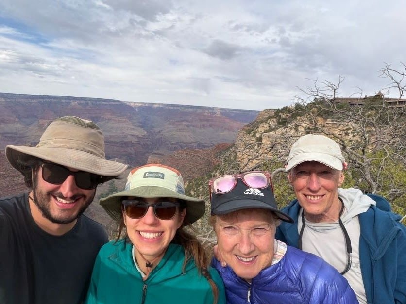
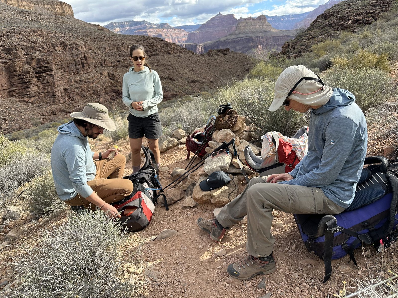
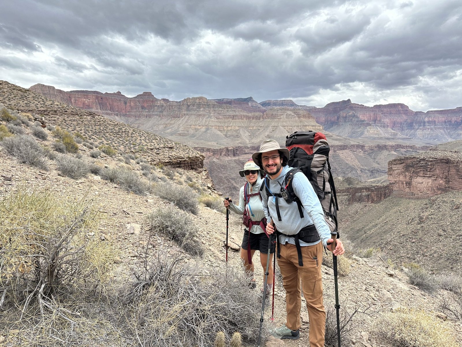
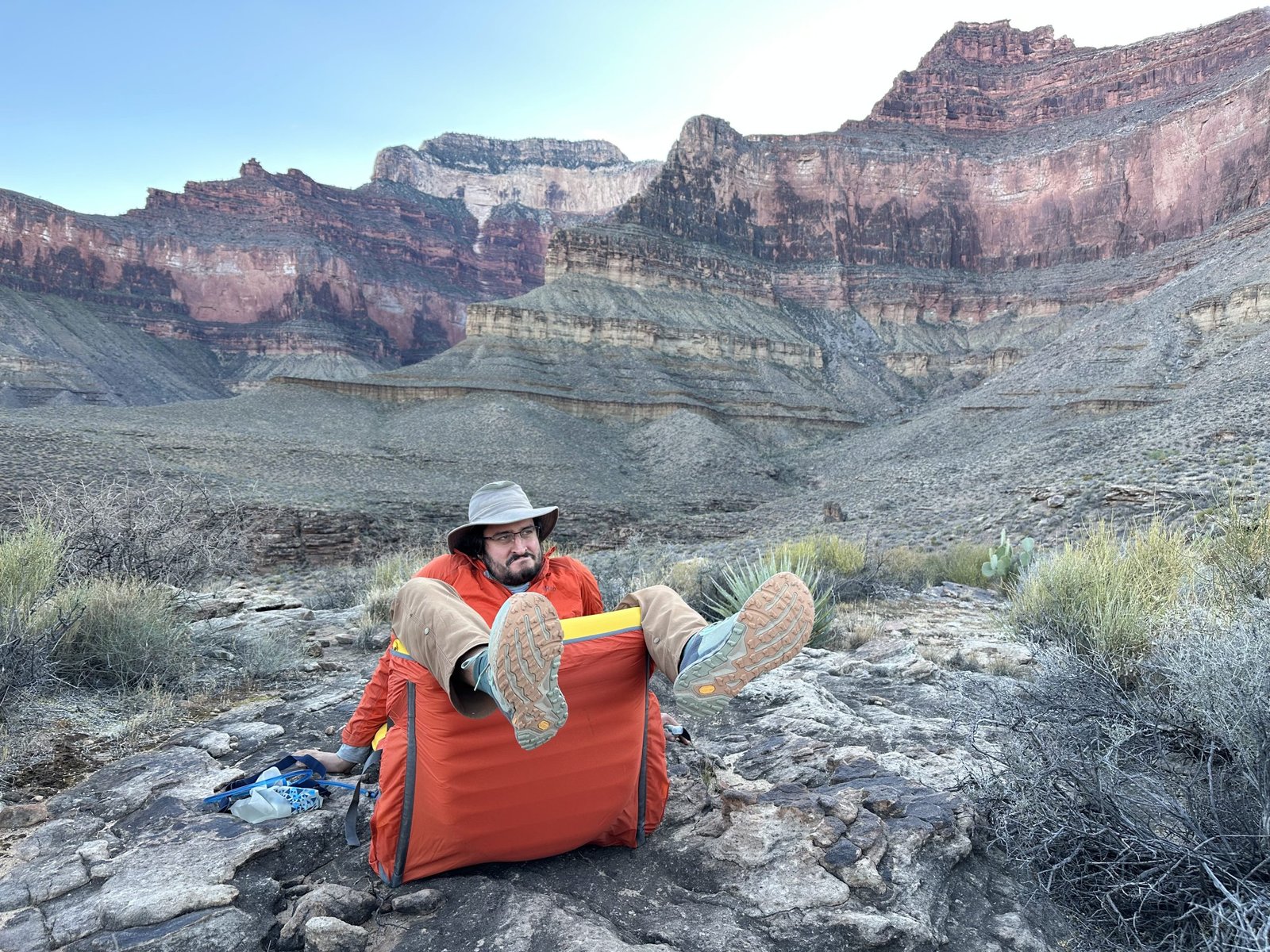
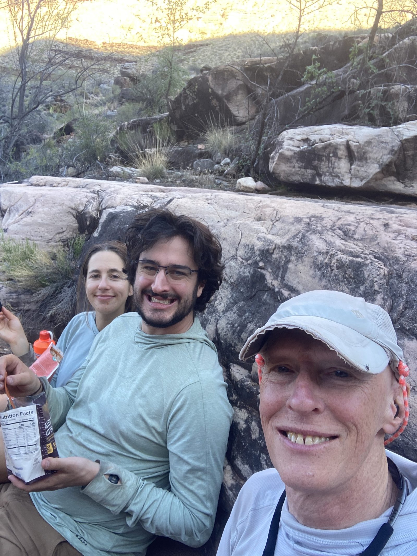
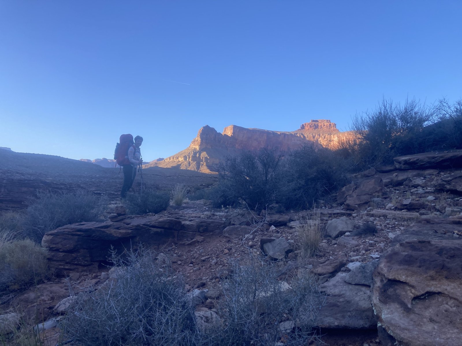
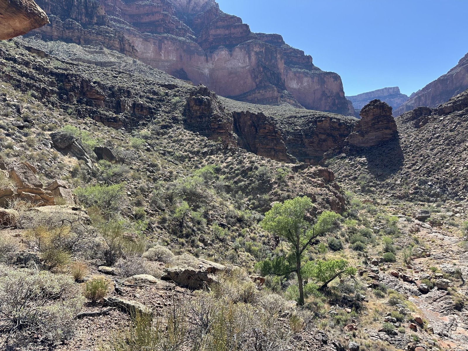
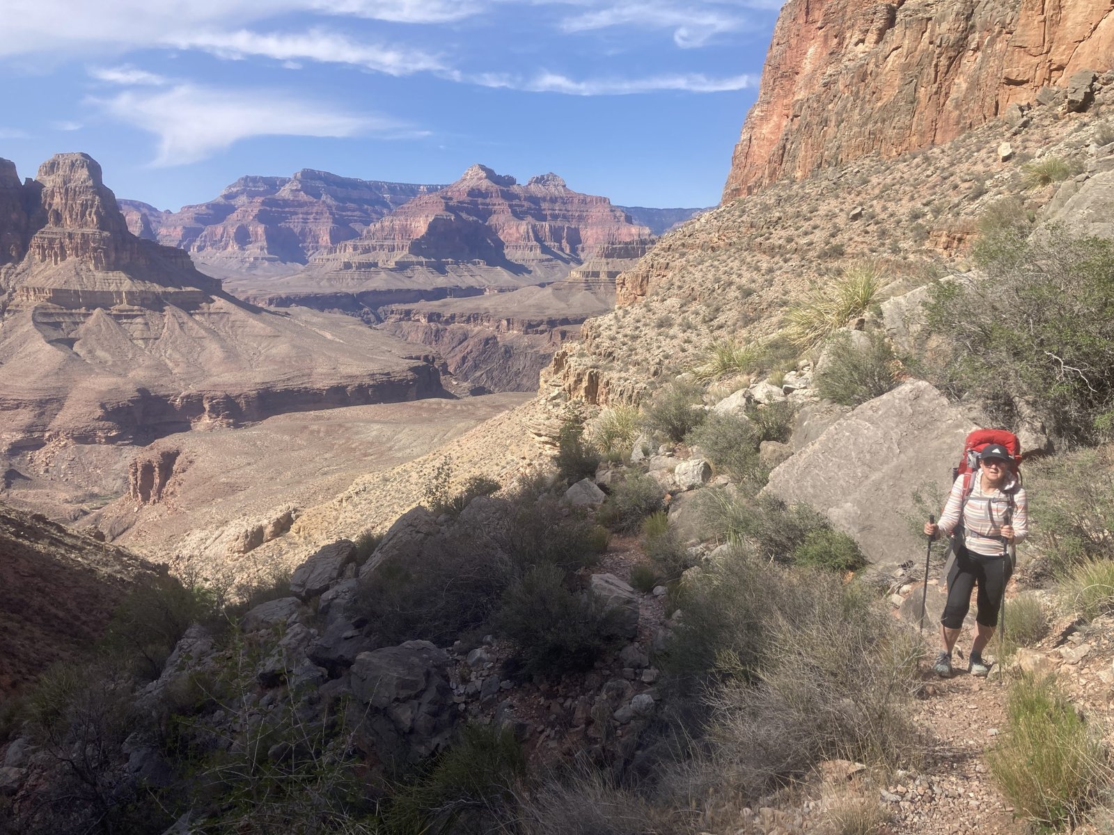
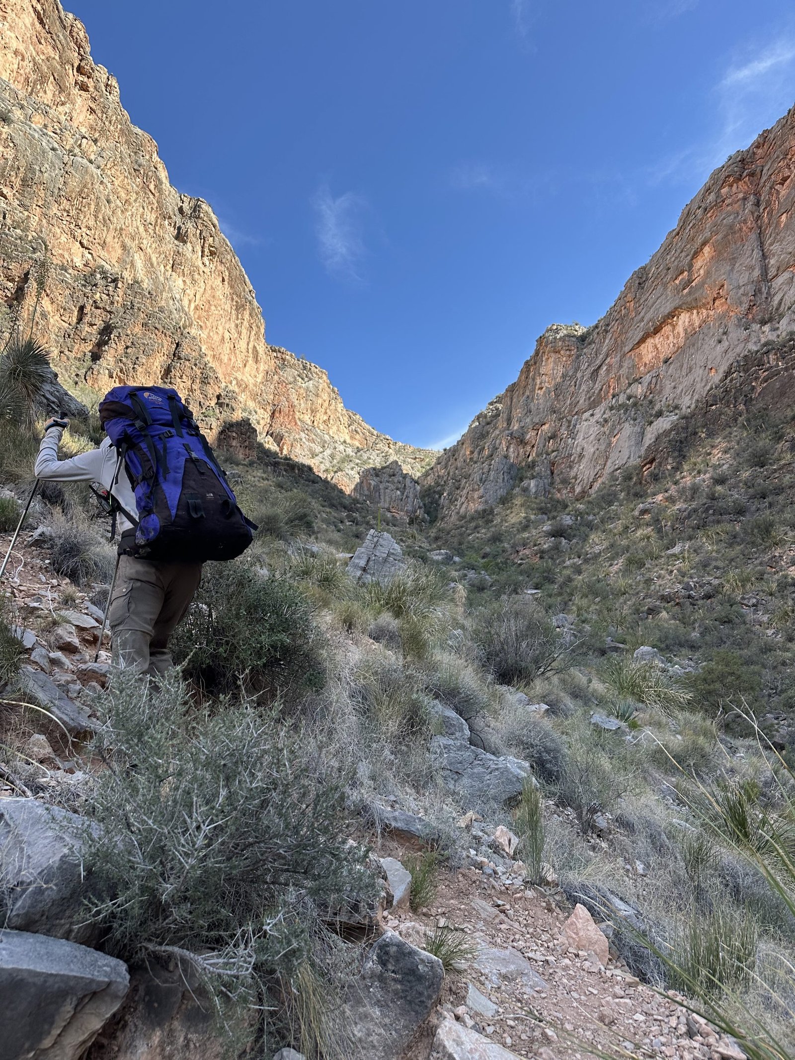
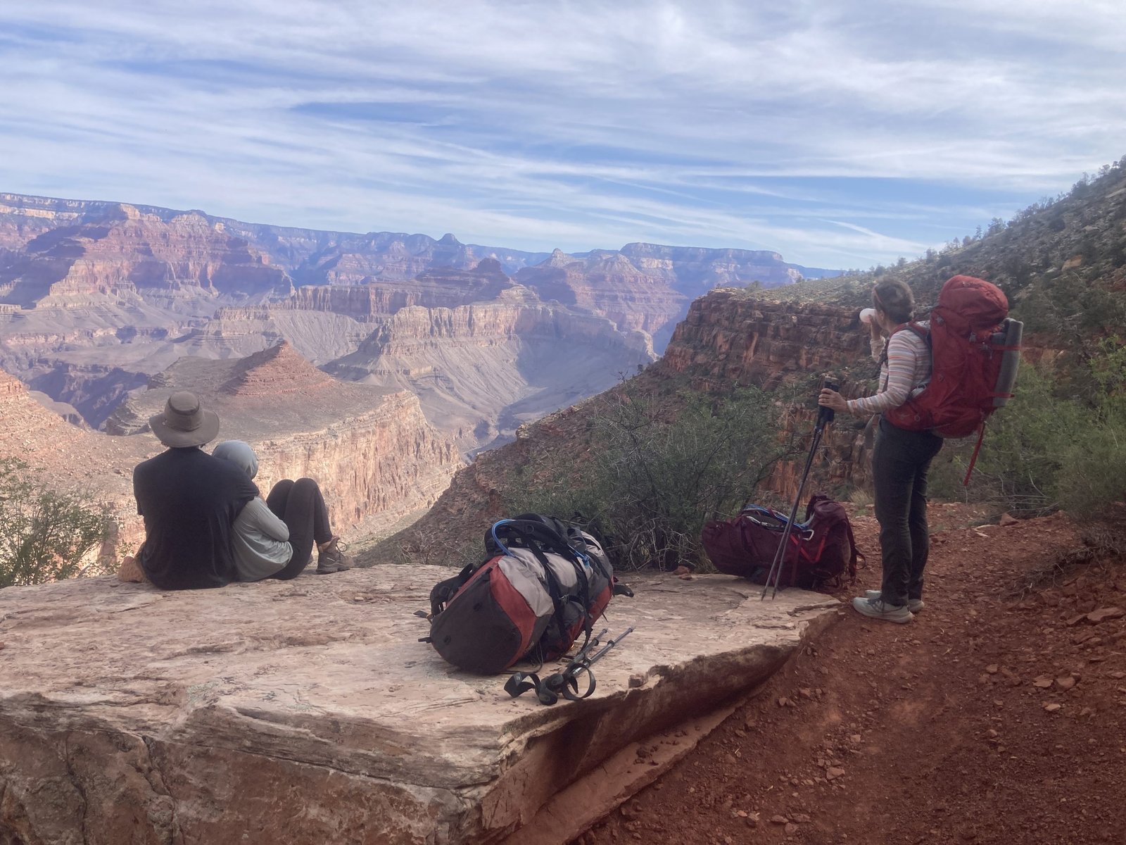
Down we went, dropping 3,834 feet from the South Bass trailhead. Lenny and I were joined by his son Reid and girlfriend Hilary. They are both very strong but, also very upbeat and fun. And, it was Hilary’s birthday. Happy Birthday Hilary and welcome to the Grand Canyon!
About a half mile down, the trail rounds the inside of a gully and levels out for a short bit. Right above that are some old, Native American ruins. Don’t blink or you’ll miss them! Then the trail runs down a slope of cream sandstone.
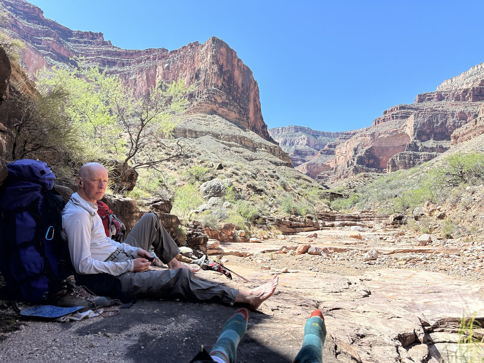
Although my knee was hurting on the regular trail bed from the start, it was very painful when we got to the sloped sandstone section. I started to get worried. I didn’t want to make anyone in the group turn back, nor did I know what the backup plan for me would be. I turned sideways and slowly side-stepped my way down. On the trail, I could dig in my poles in front of me to use as brakes. Soon we reached the Esplanade level, where it was pretty flat for about a mile or so. And, just before we were ready to drop off this level, we stopped for lunch.
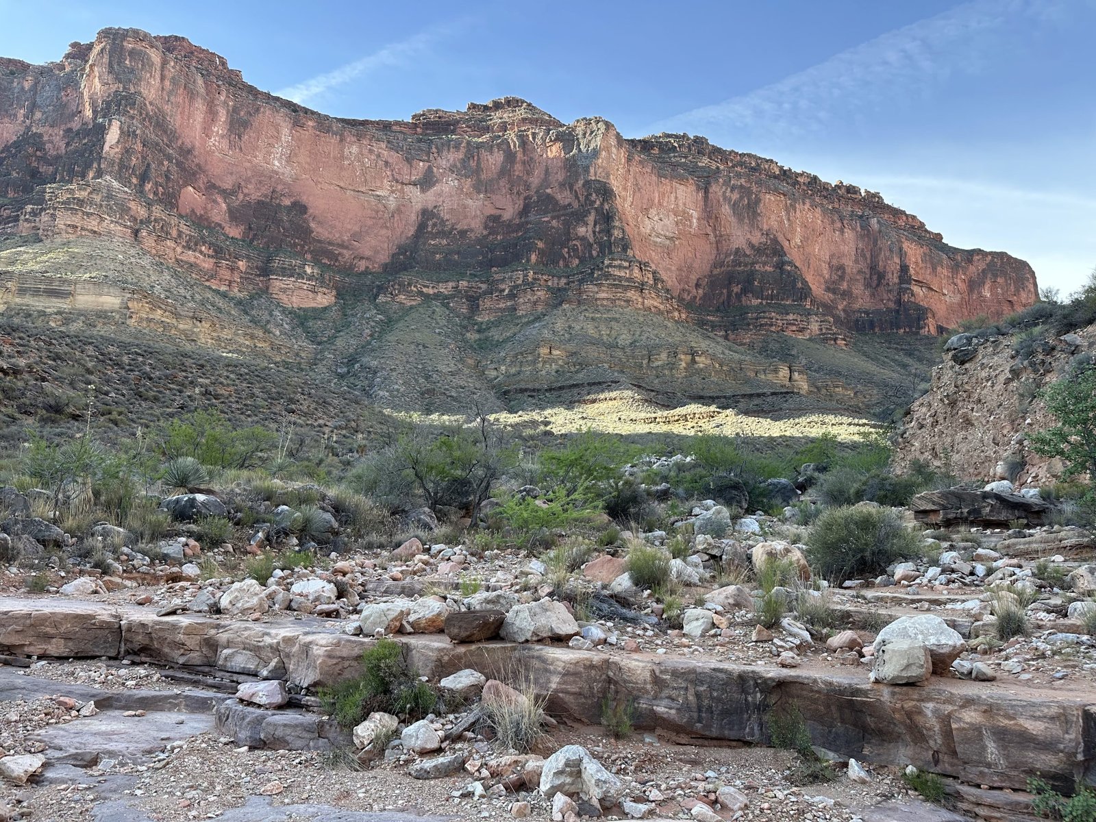
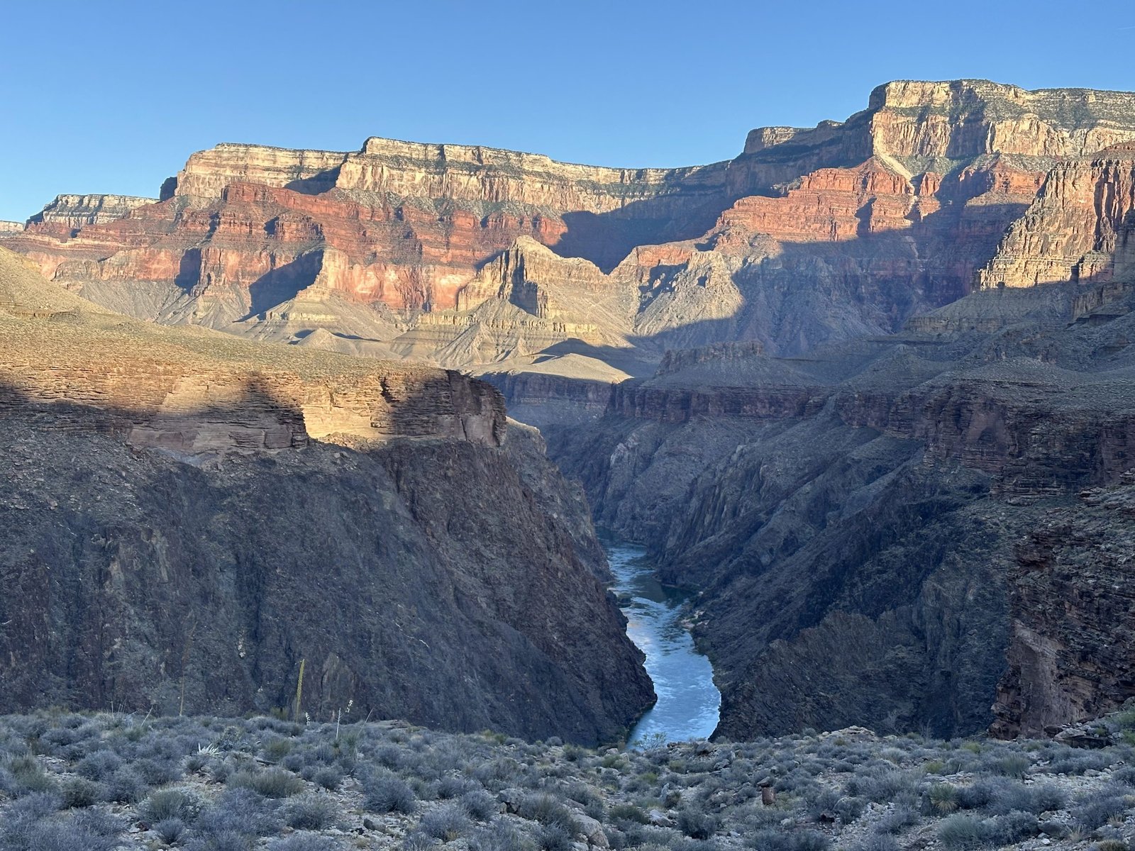
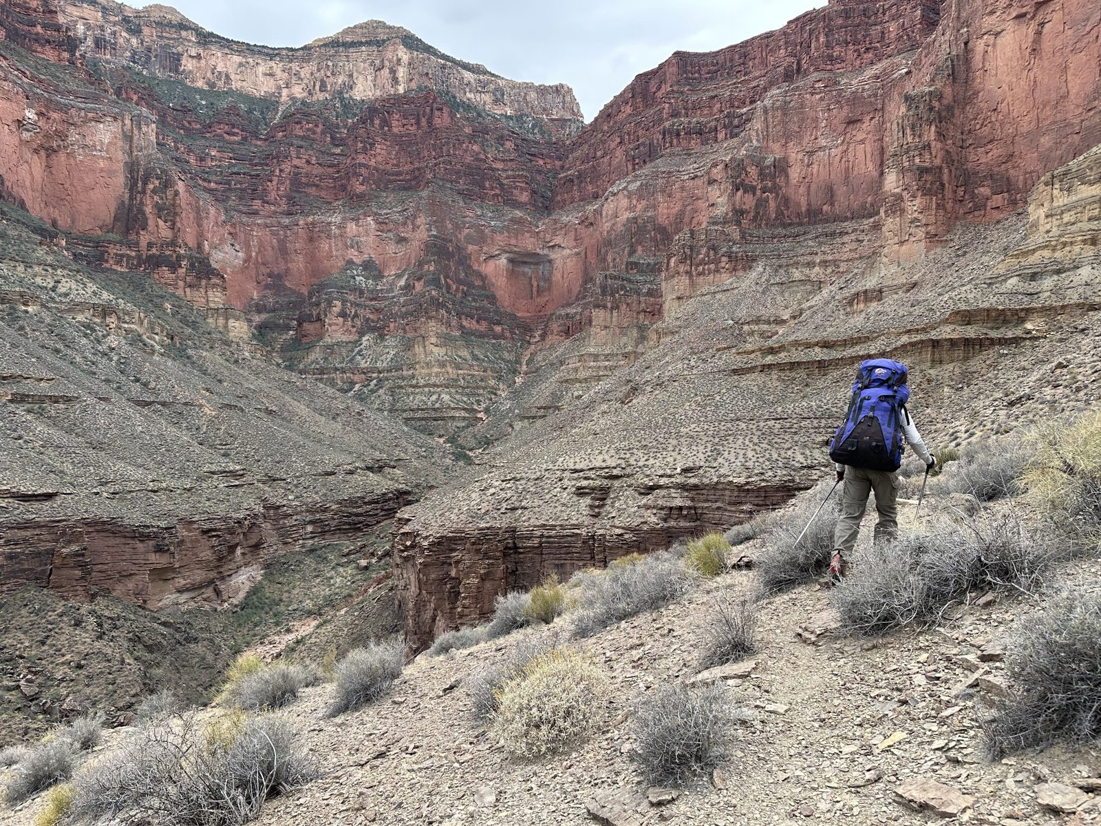
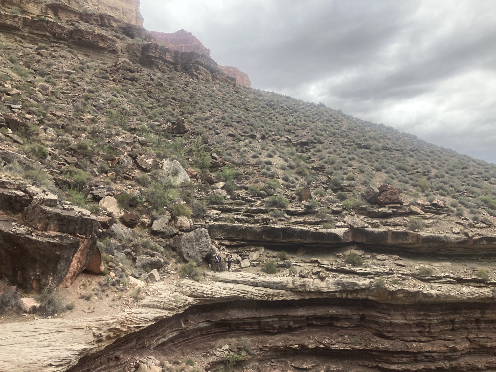
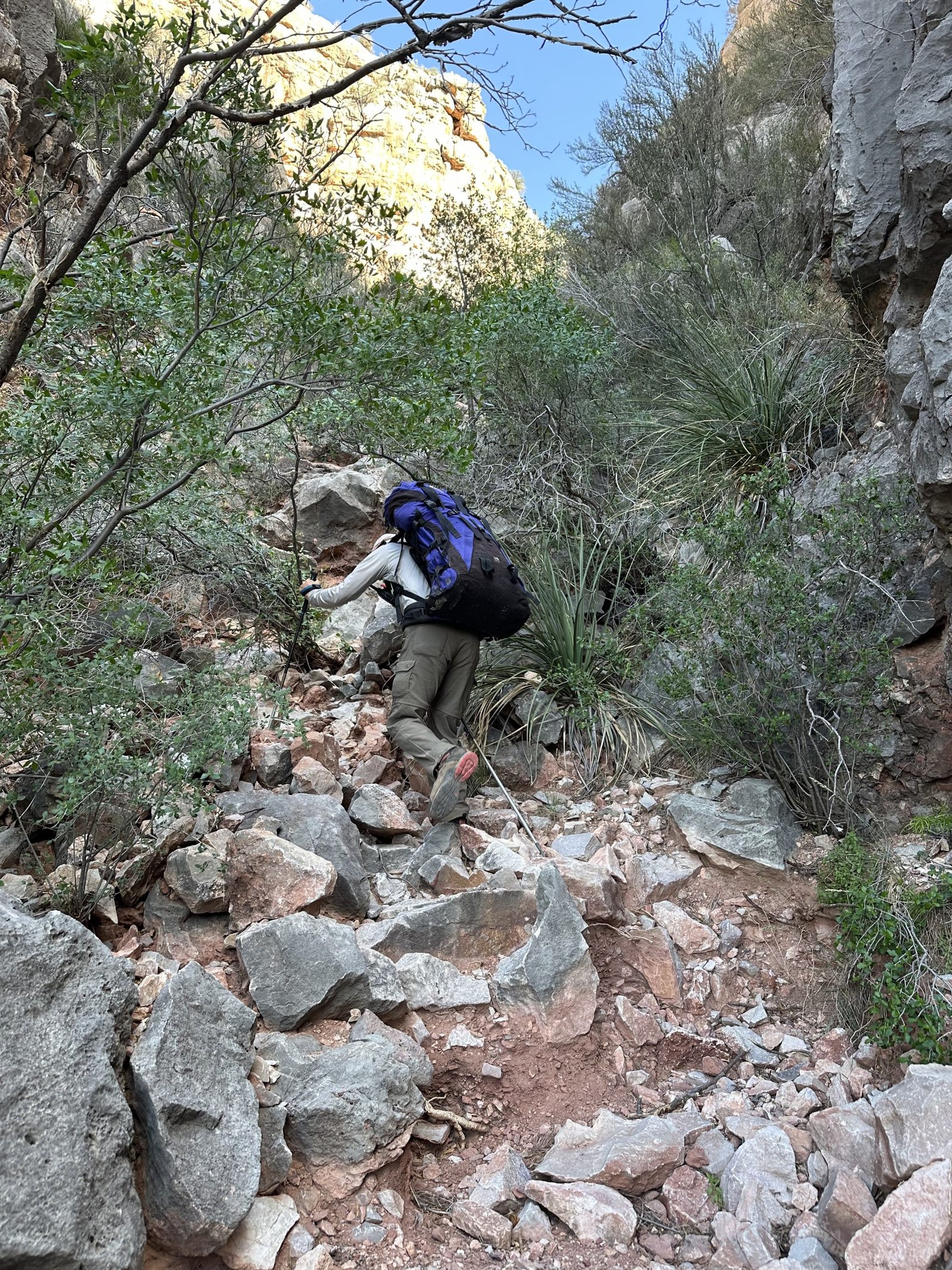
After lunch, we dropped into the canyon in a much bigger way. Initially, you go down red sandstone rock steps that William W. Bass and crew put in about 100 years ago. It’s really pretty amazing.
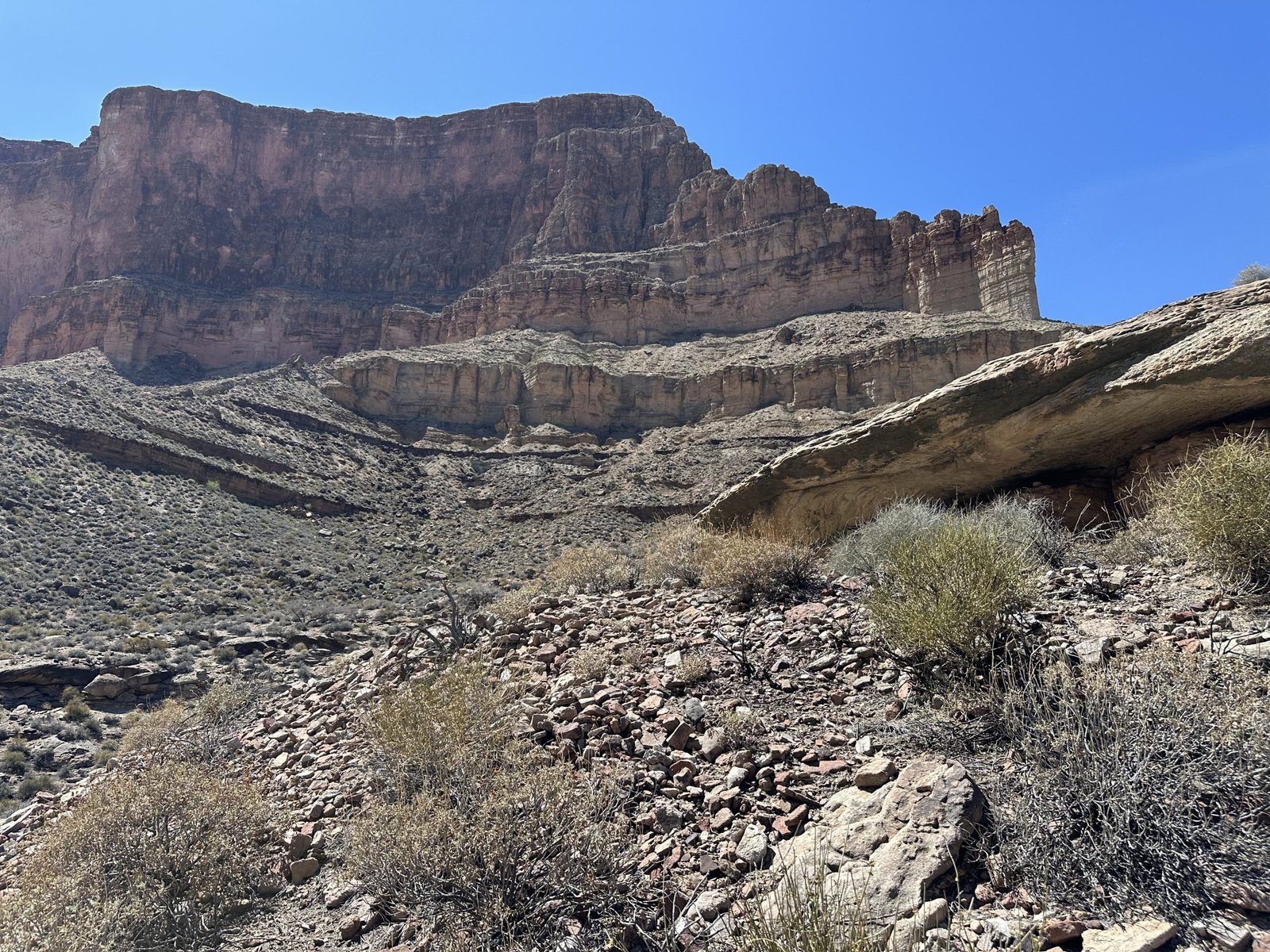
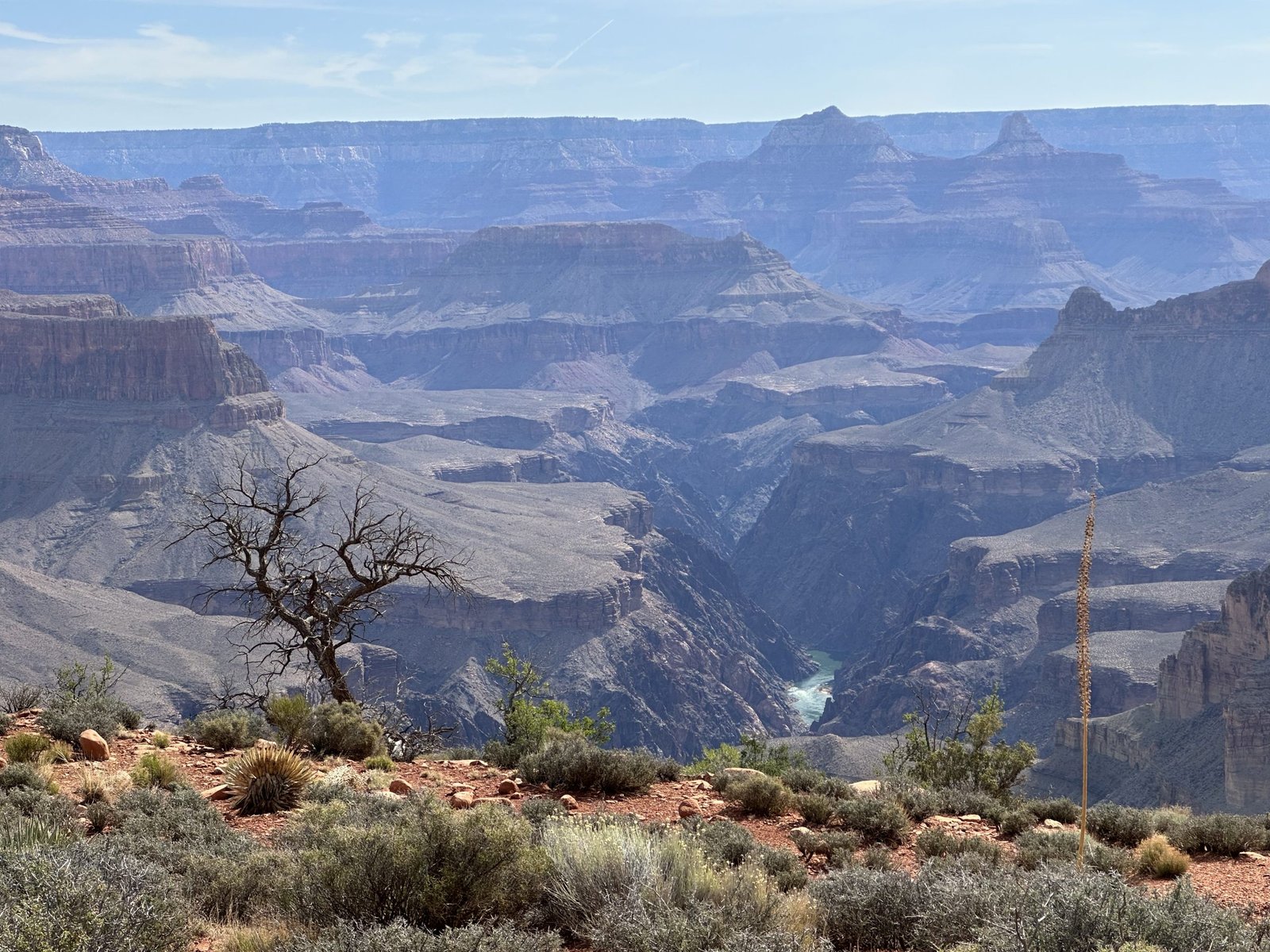
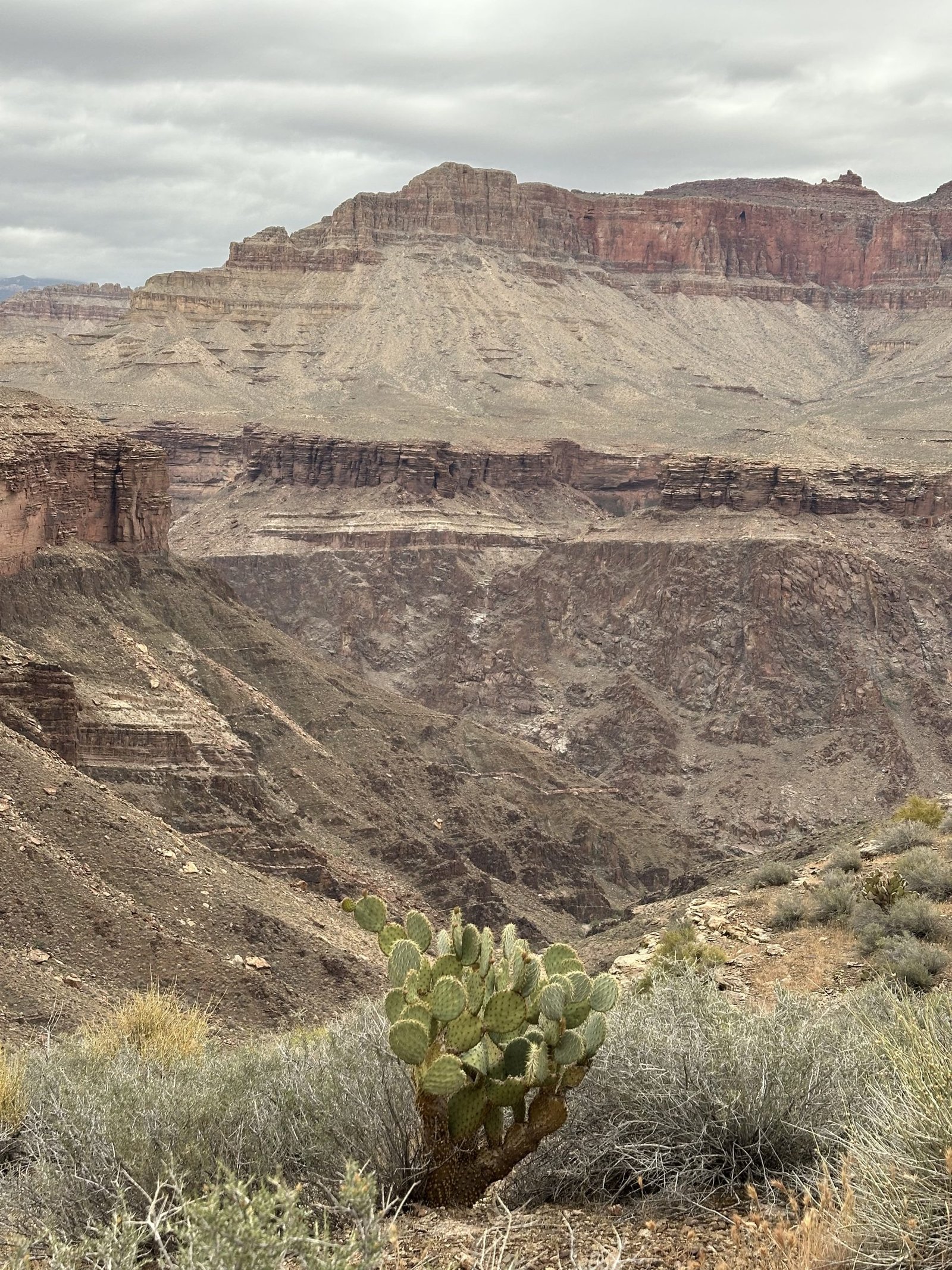
Next, you round the corner, heading to the inside head of the canyon to a break in what is called the Redwall. It’s a massive layer in the Grand Canyon running about 500-800 feet thick. The Redwall is a layer of limestone deposited about 340 million years ago during the Mississippian Period. It’s a blue-gray layer that has been stained by iron turning it orange-red. It’s one of the hardest rock types in the canyon, pretty resistant to erosion.
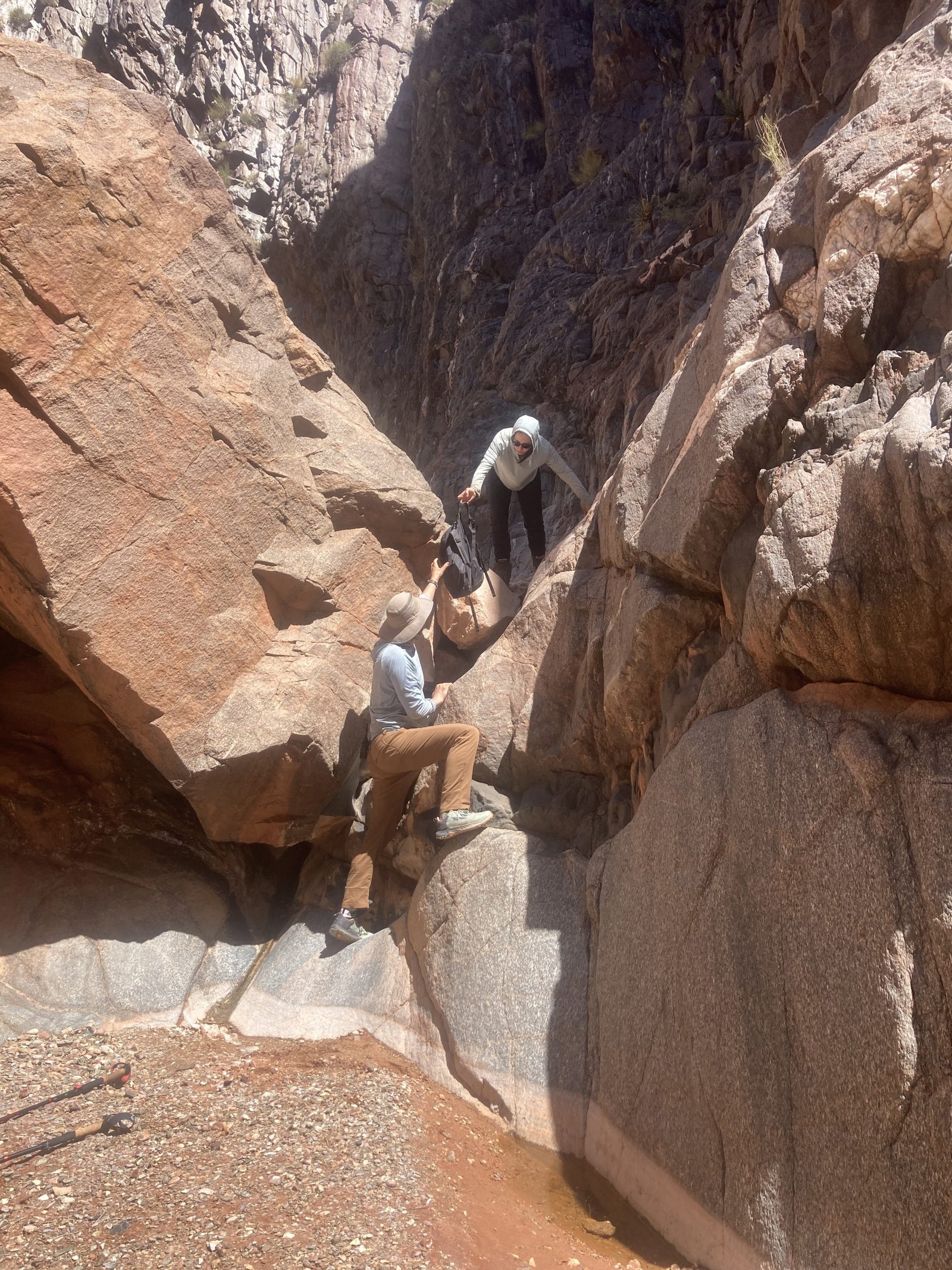
We headed back to the inner canyon stepping down off blocks of sandstone and even having to crawl over a minor rockfall. Whenever the steps were too big for my knee, Lenny was there to offer a hand or a shoulder to lower me down.
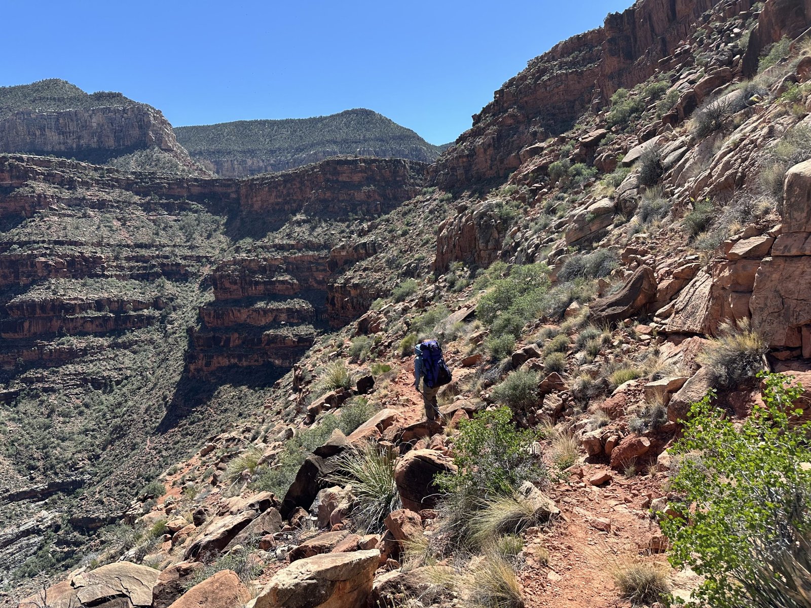
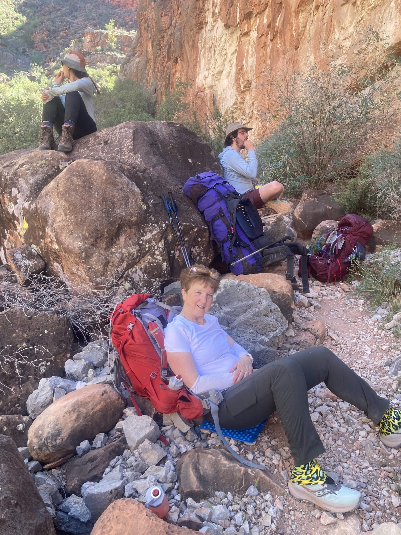
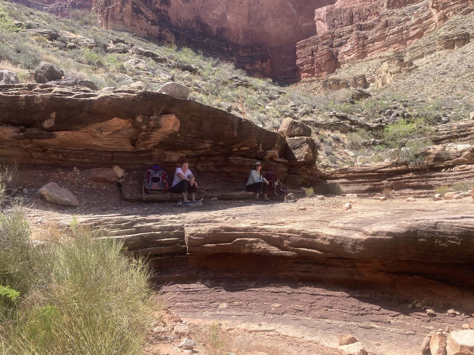
Once at the inner canyon corner, the trail dropped precipitously. Reid kindly offered to carry my pack down at this section and I carefully made my way down with Hilary. Once off the hill you see above, you enter a narrow, bouldery section where we took a break.
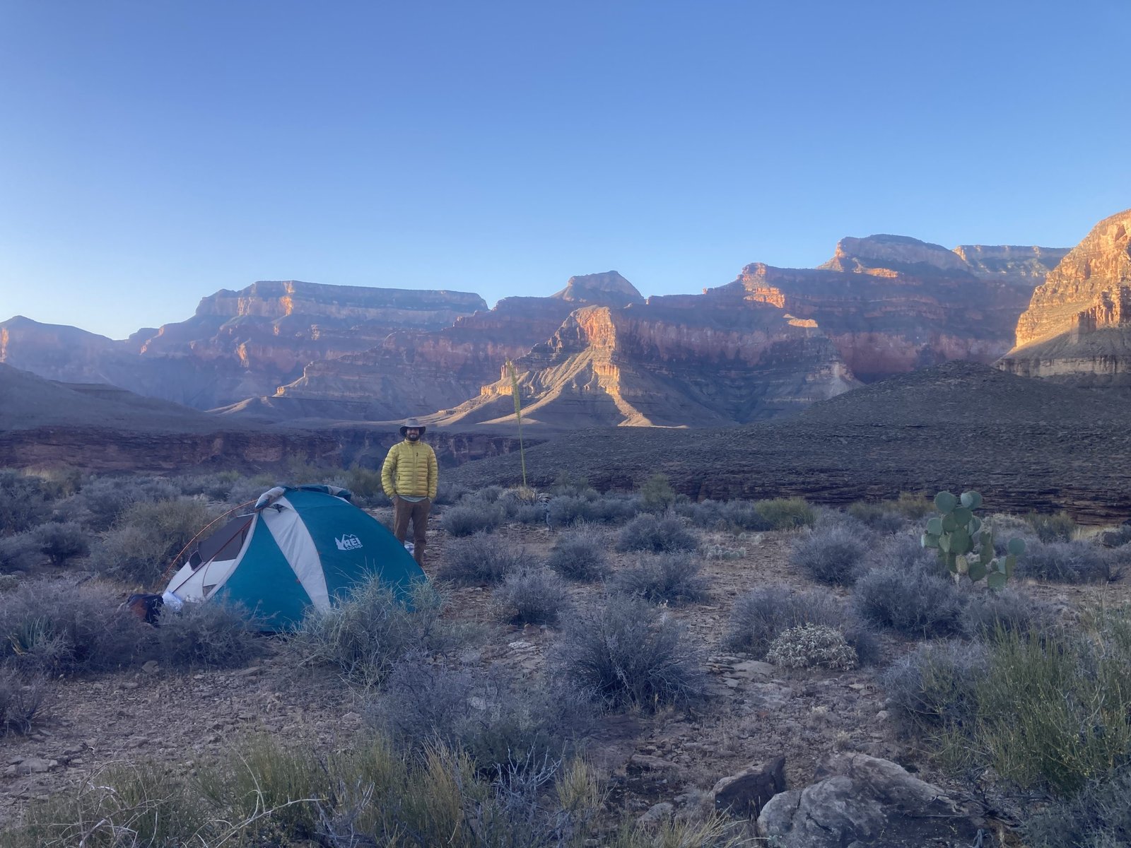
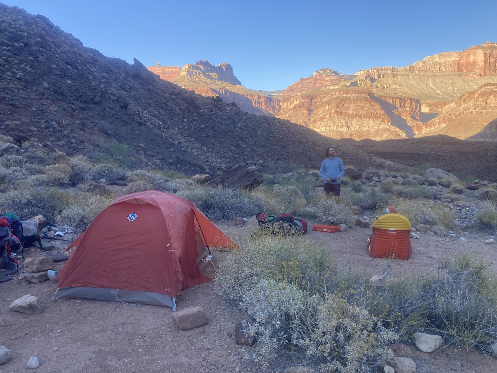
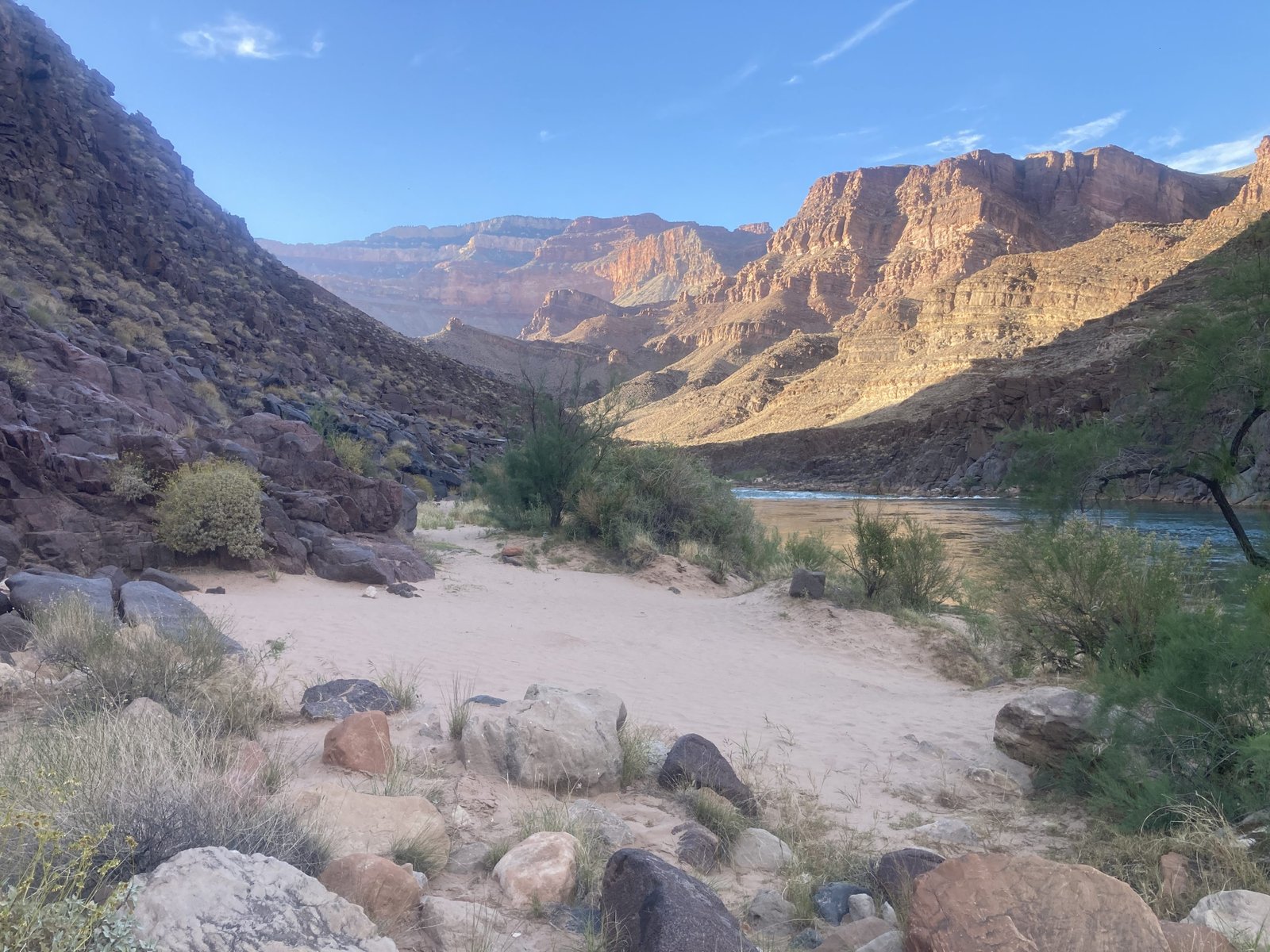
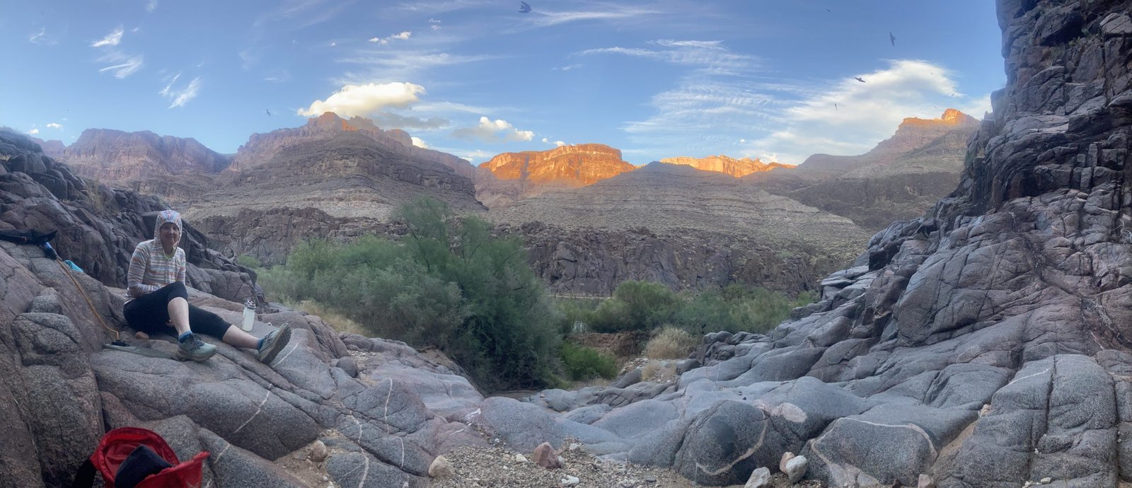
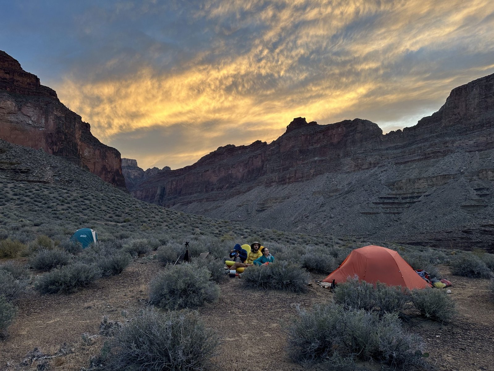
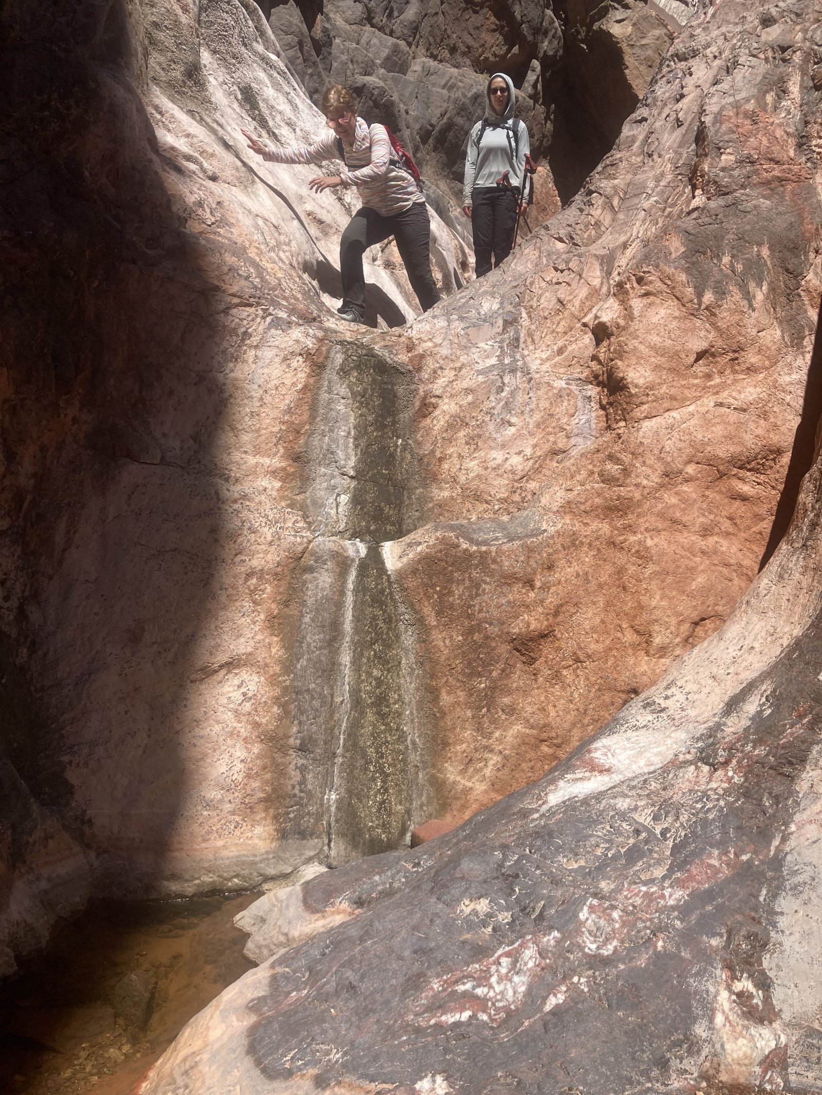
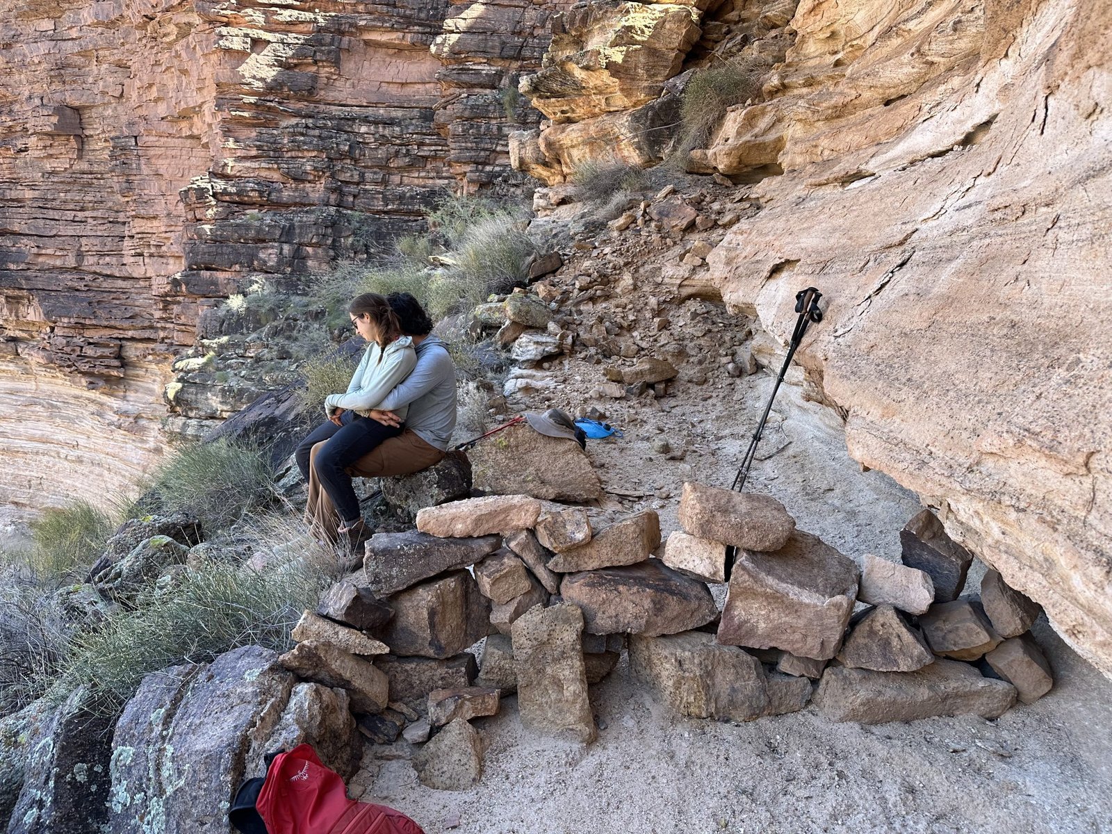
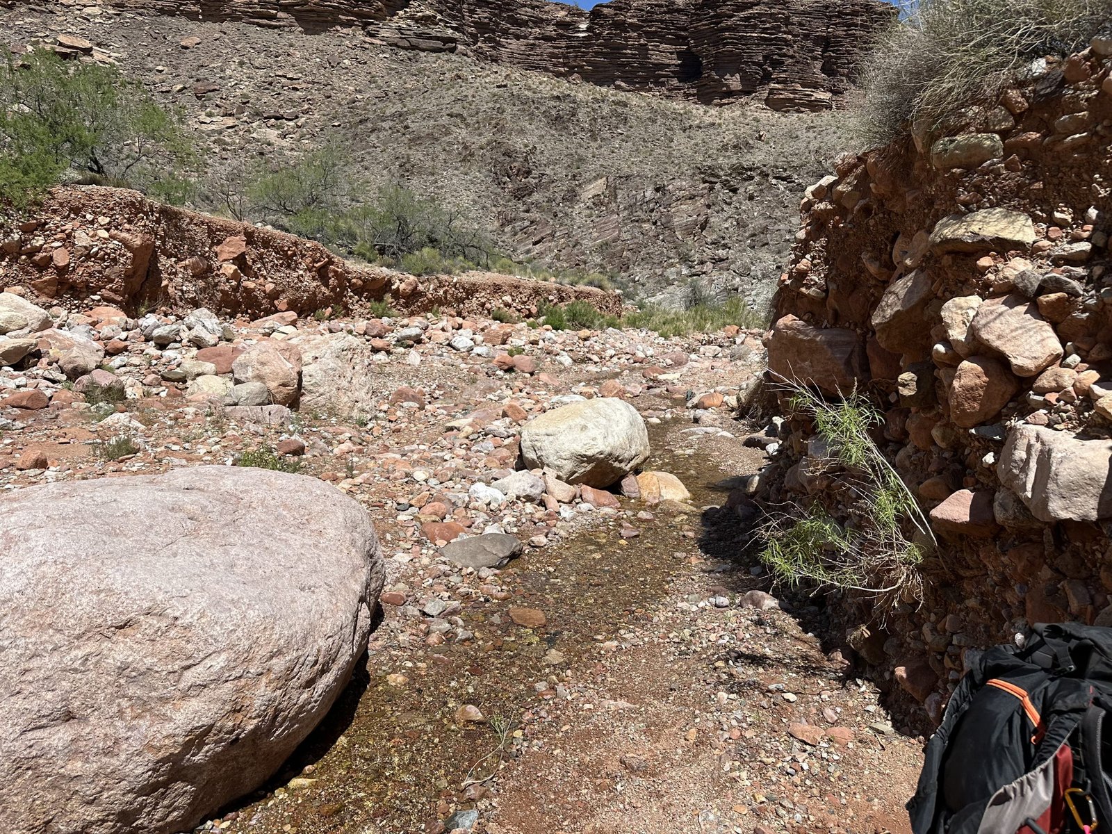
From here, the trail gets back to being a more steady, less steep, more normal trail down to the base where the “Bass tanks” are and where camp will be. The tanks are about one mile shy of the river. I took my pack back and we all headed down to camp.


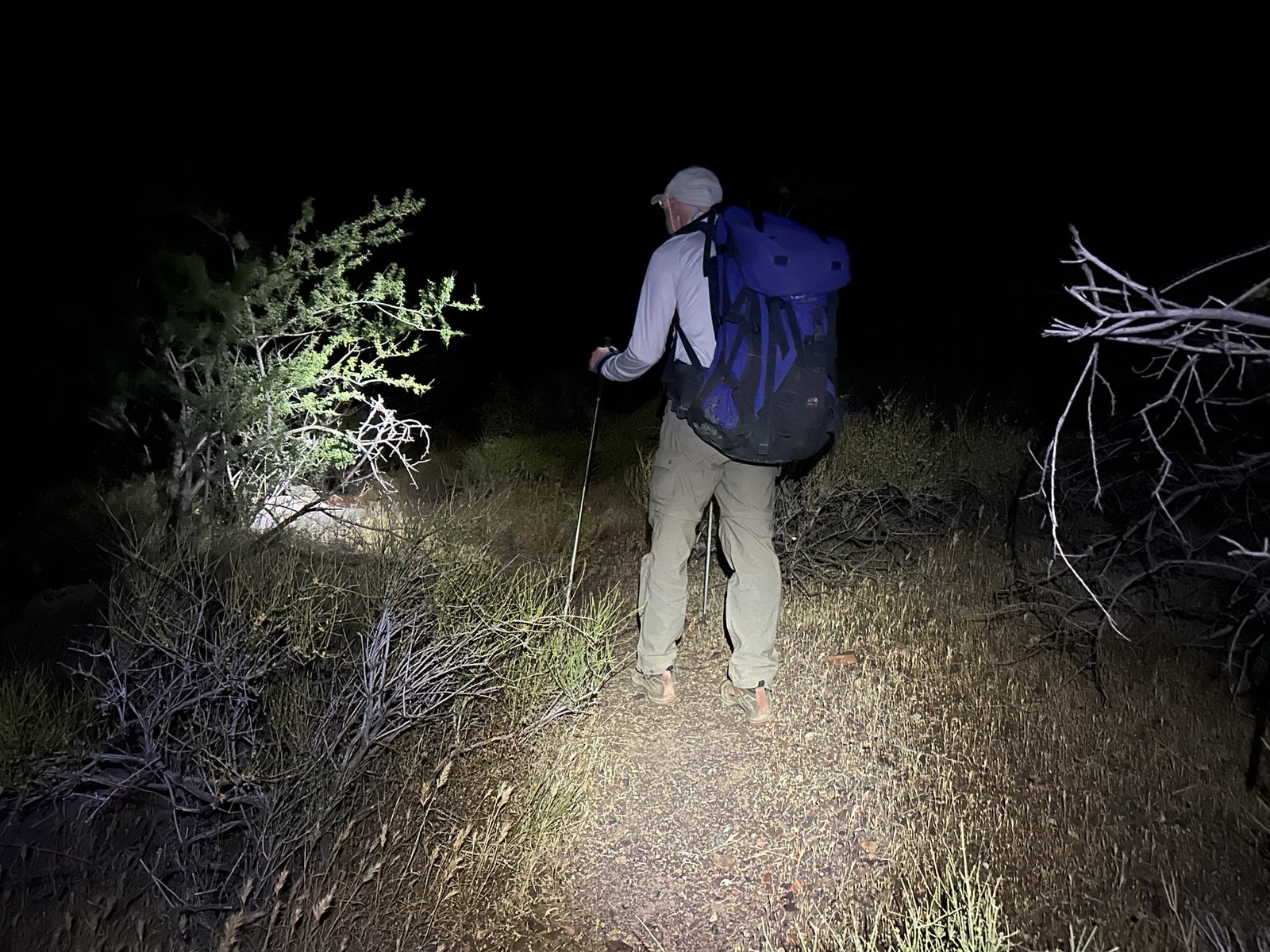
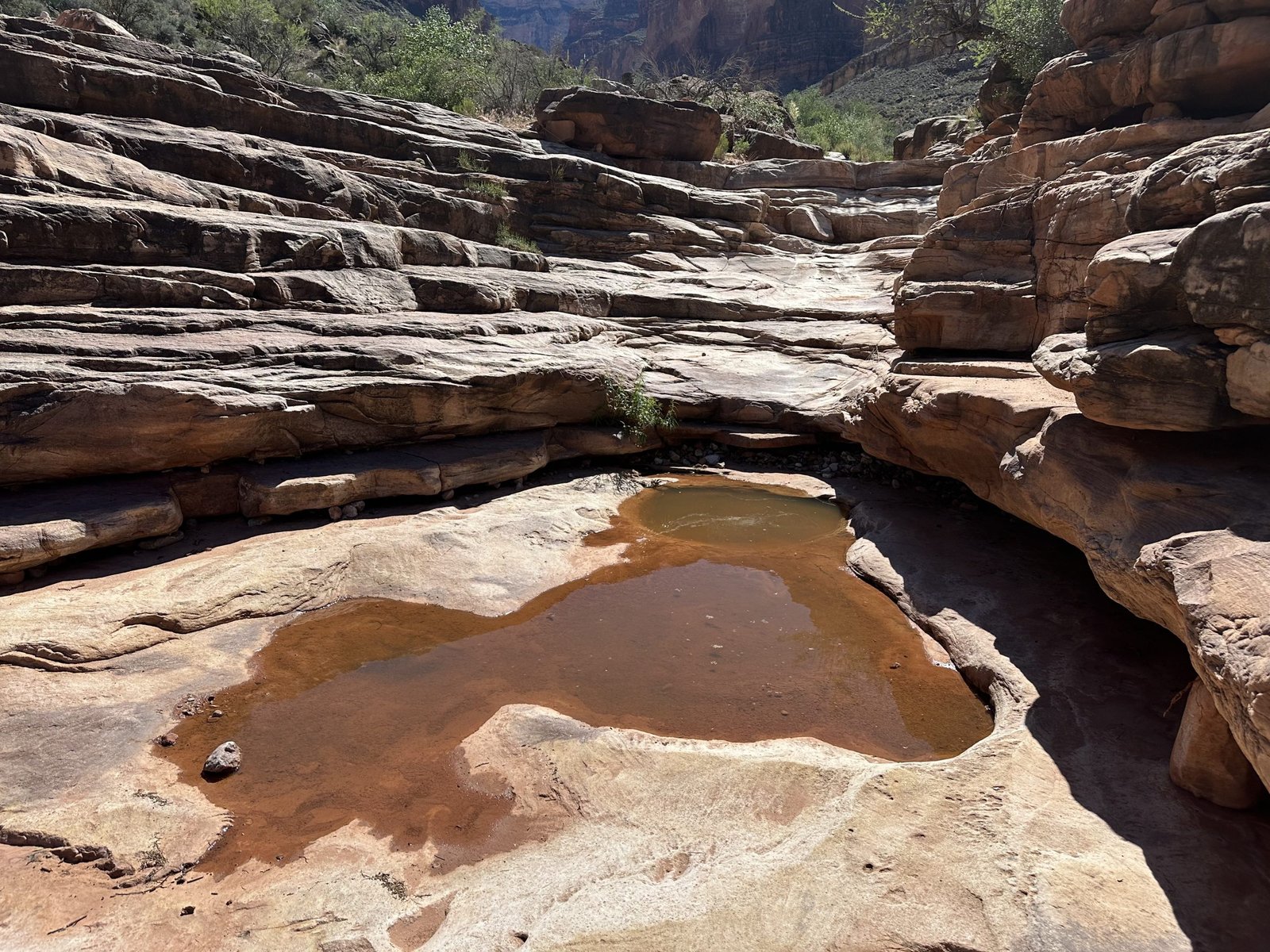
Once down at the base, we set up camp. Then Lenny and Reid went to get water from Bass tanks. There is a very large pothole that retains water most of the year. However, they came back empty handed! The pothole was dry!
They made the agonizing decision to hike the 2+ mile round trip to the river to get water. It was getting late, about 6:30 pm and the sun was beginning to fade. They grabbed their headlamps and took off. Dinner would have to wait.
Hilary and I set up our respective tents and rested while we waited for them to return. Lately, when I’m deep in the canyon, I feel like I can hear a low hum. I’m not sure if it’s a earthly energy, the river, or just tinnitus. I’ve always wondered if anyone else can hear it.
About an hour later, they called on the radio (we brought two) and let us know they’d gotten water and were heading back. By the time they returned and made a little dinner, it was close to 9:30. Luckily, we had a planned day off the next day so we could all sleep in.
And, luckily, my knee felt ok!
Day Two - April 12, 2026
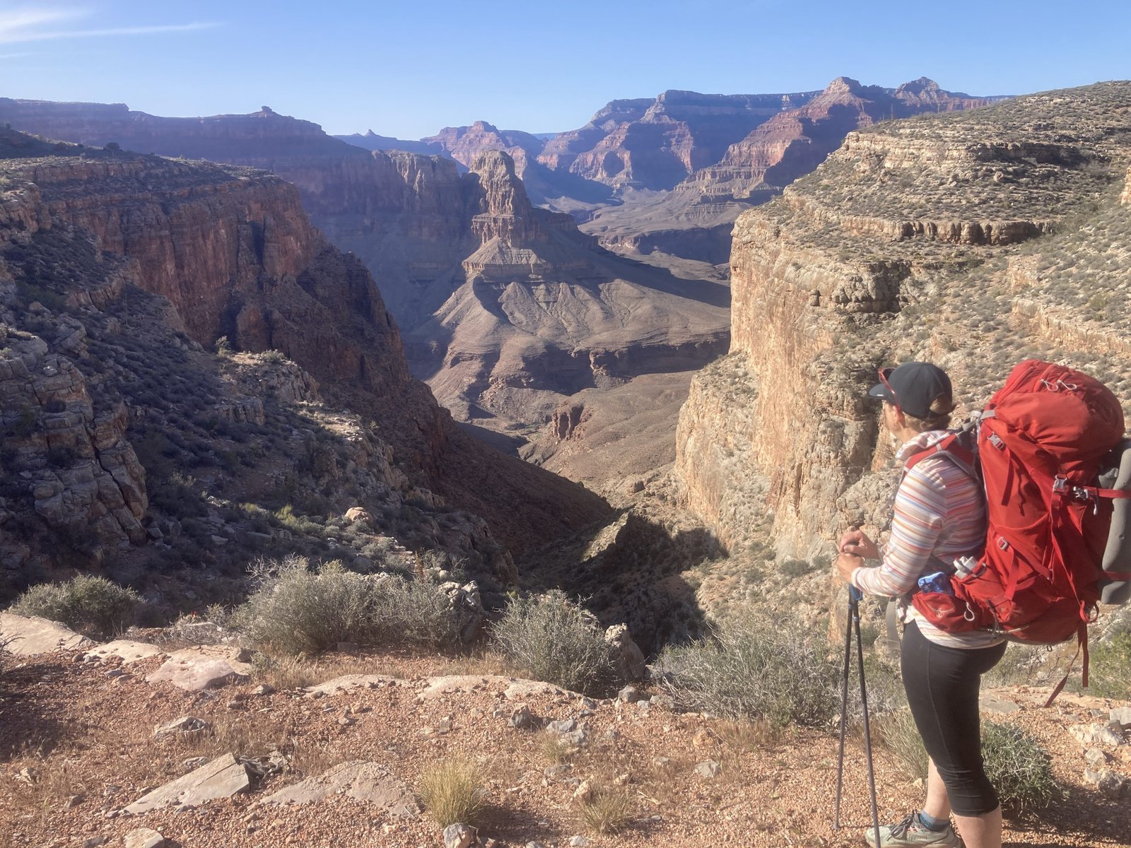
It was a very lazy morning…a lazy day in fact. We planned a day off so that we could go to the river. I really wanted to see the boat, the Ross Wheeler.
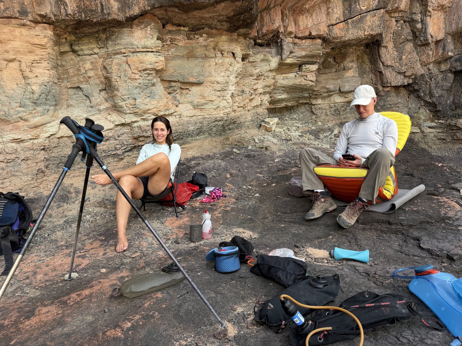
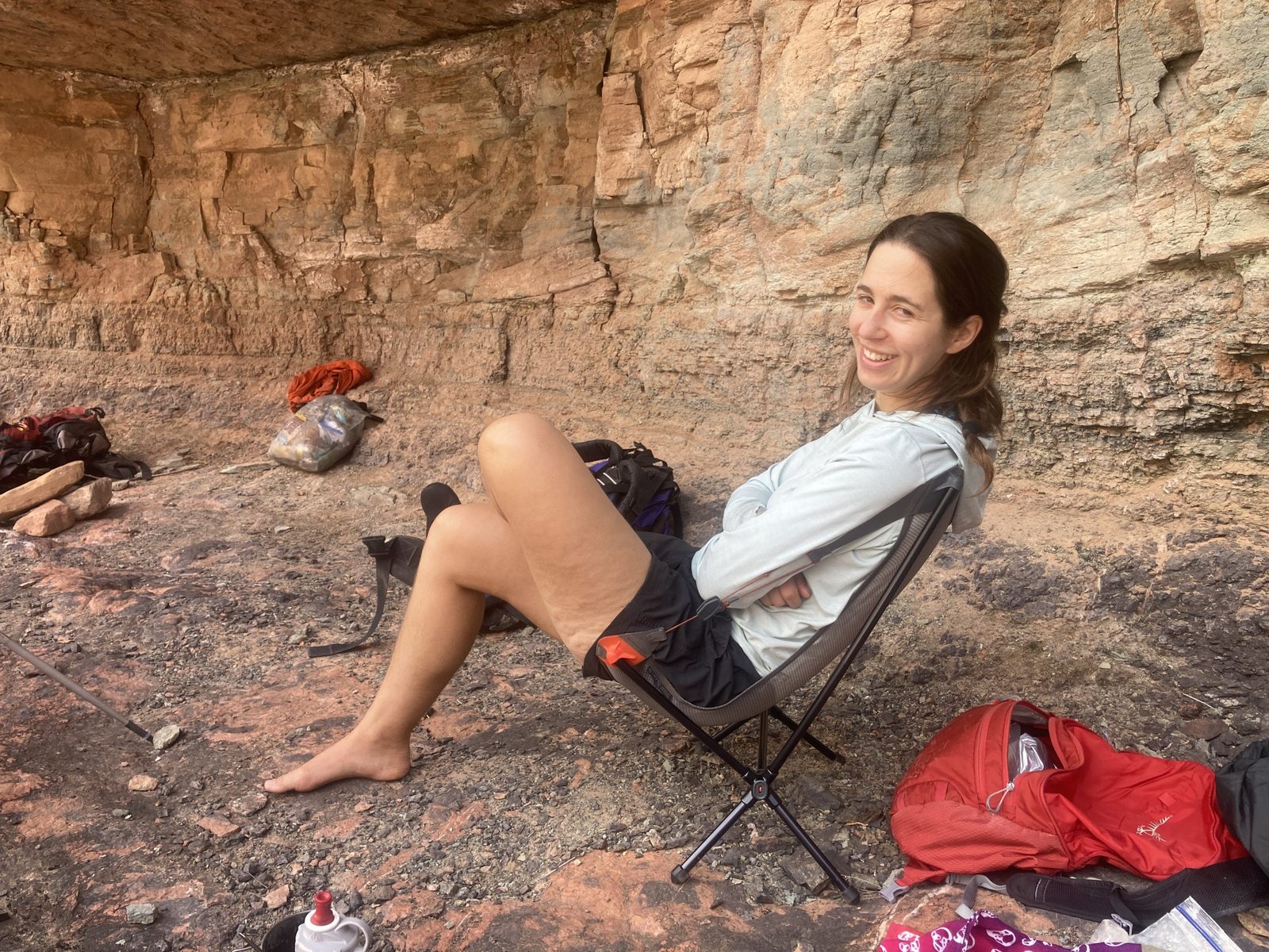
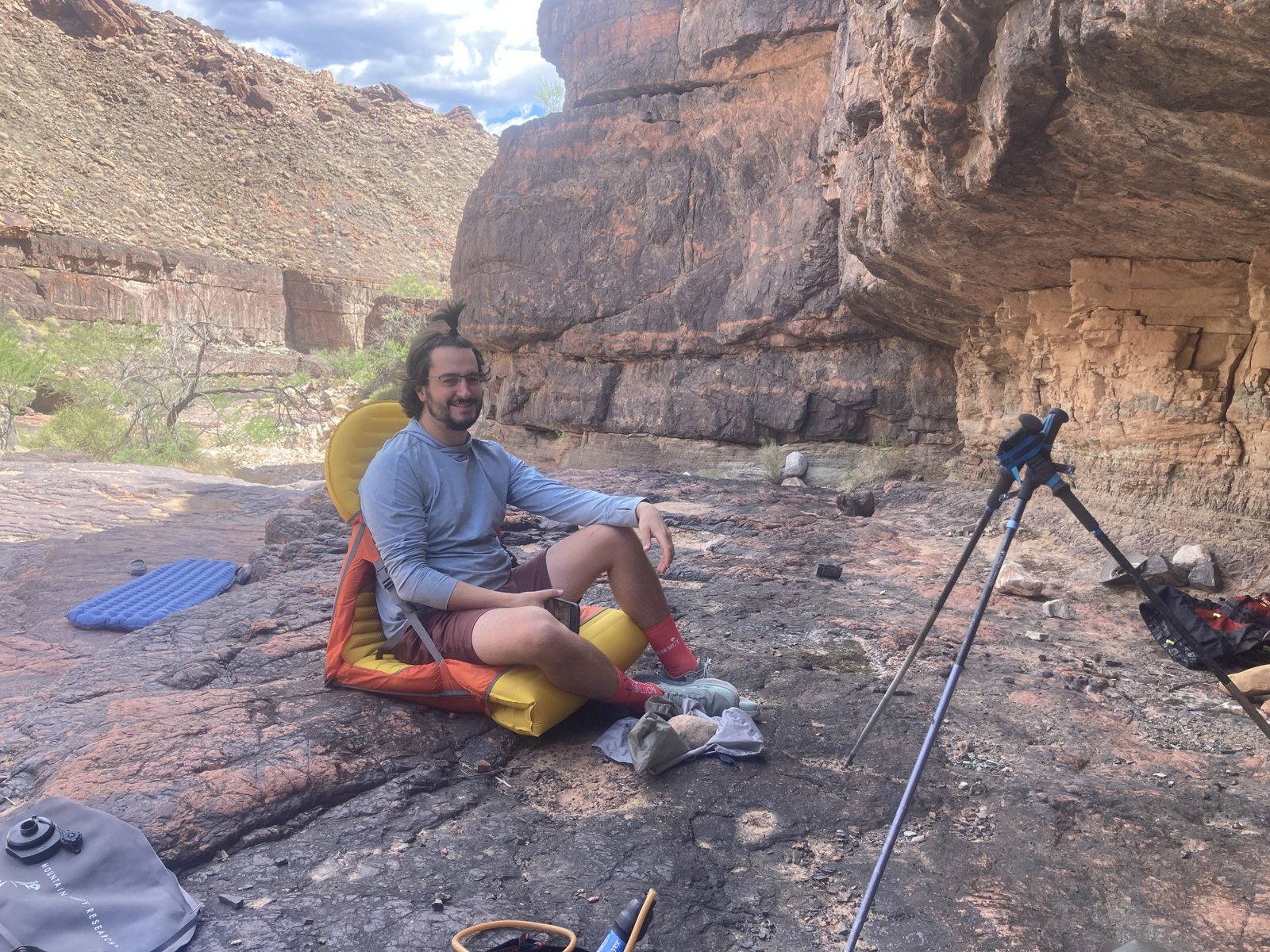
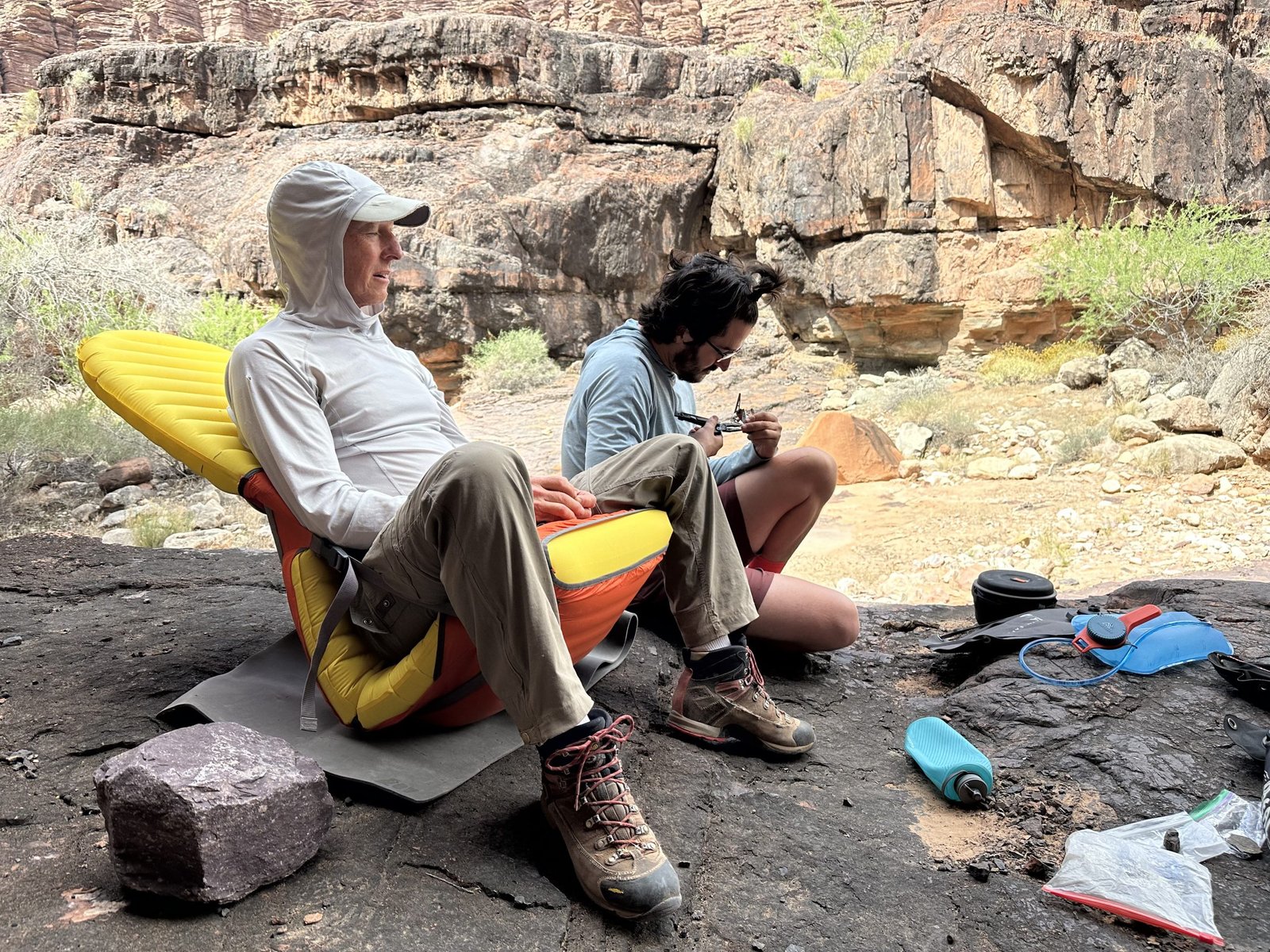
Each of us brought with us our own exhaustion though. I had just returned from a two week trip to Boston after finally walking without crutches. Lenny had returned just a couple days prior from a Canadian ski trip. Reid and Hilary both had their own challenges just getting ready and getting here given all they are doing–Reid working full time and Hilary working on her PhD.
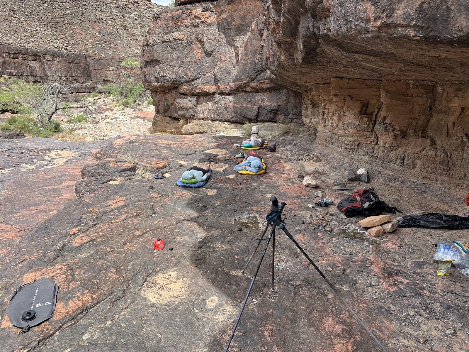
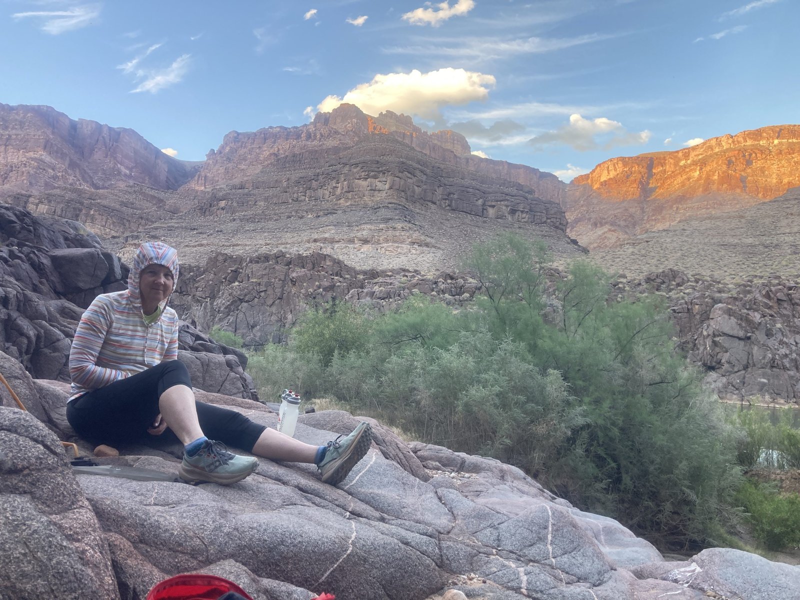
So, we indeed slept in. Then we went down to the Bass tanks for breakfast. Even though they were empty, there are some nice ledges to hang out on. We ate, napped, snacked, and napped some more.
We also talked about the water situation. We felt like we should go to plan B. That would be to get water from the river and only go as far as Ruby. Then turn around and come back to South Bass. We knew we could get river water at South Bass and at Serpentine. Possibly at Ruby. But after that, it would be a long, dry stretch. So that was our plan.
Before we knew it, it was almost dinner time!


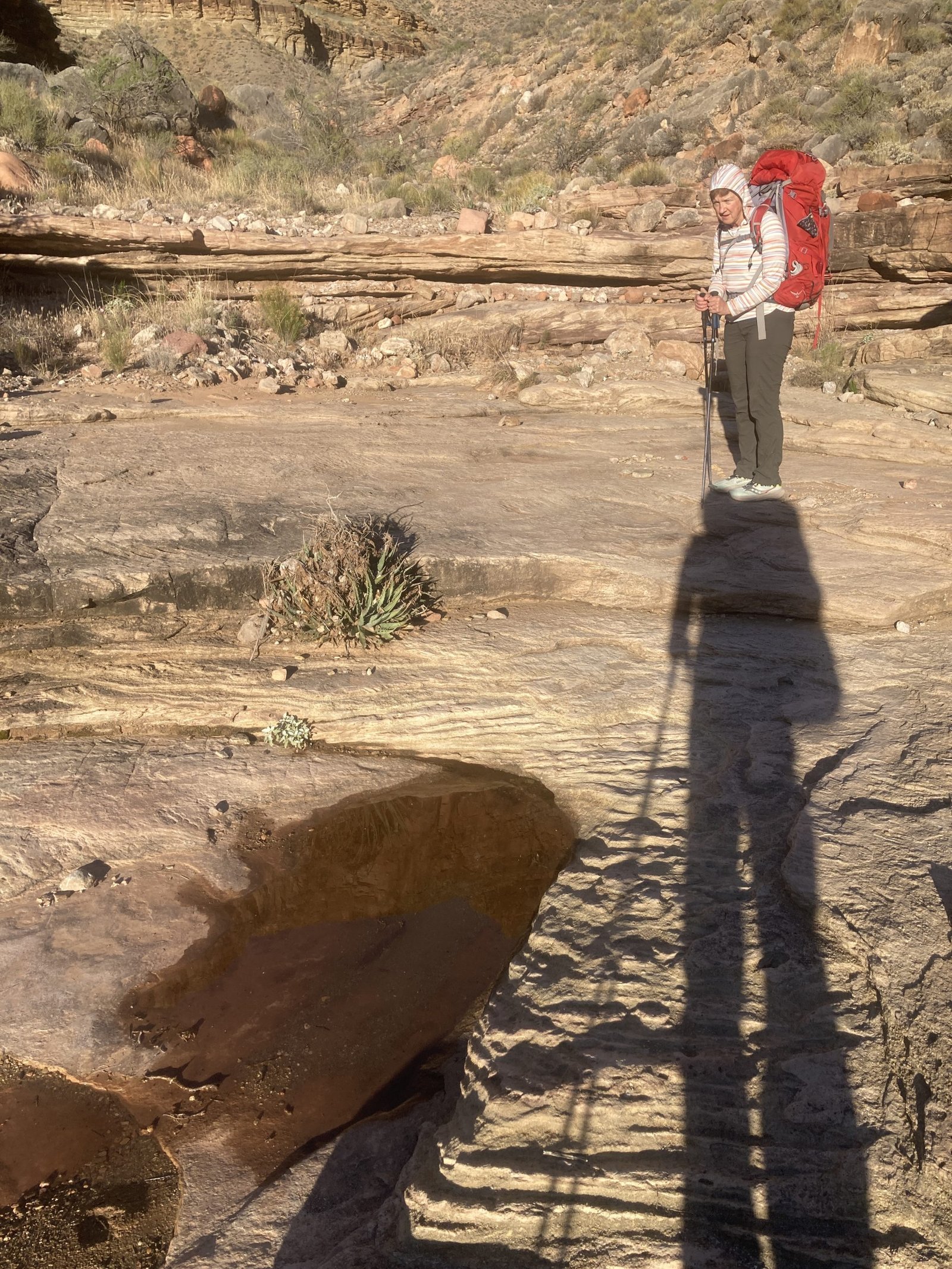
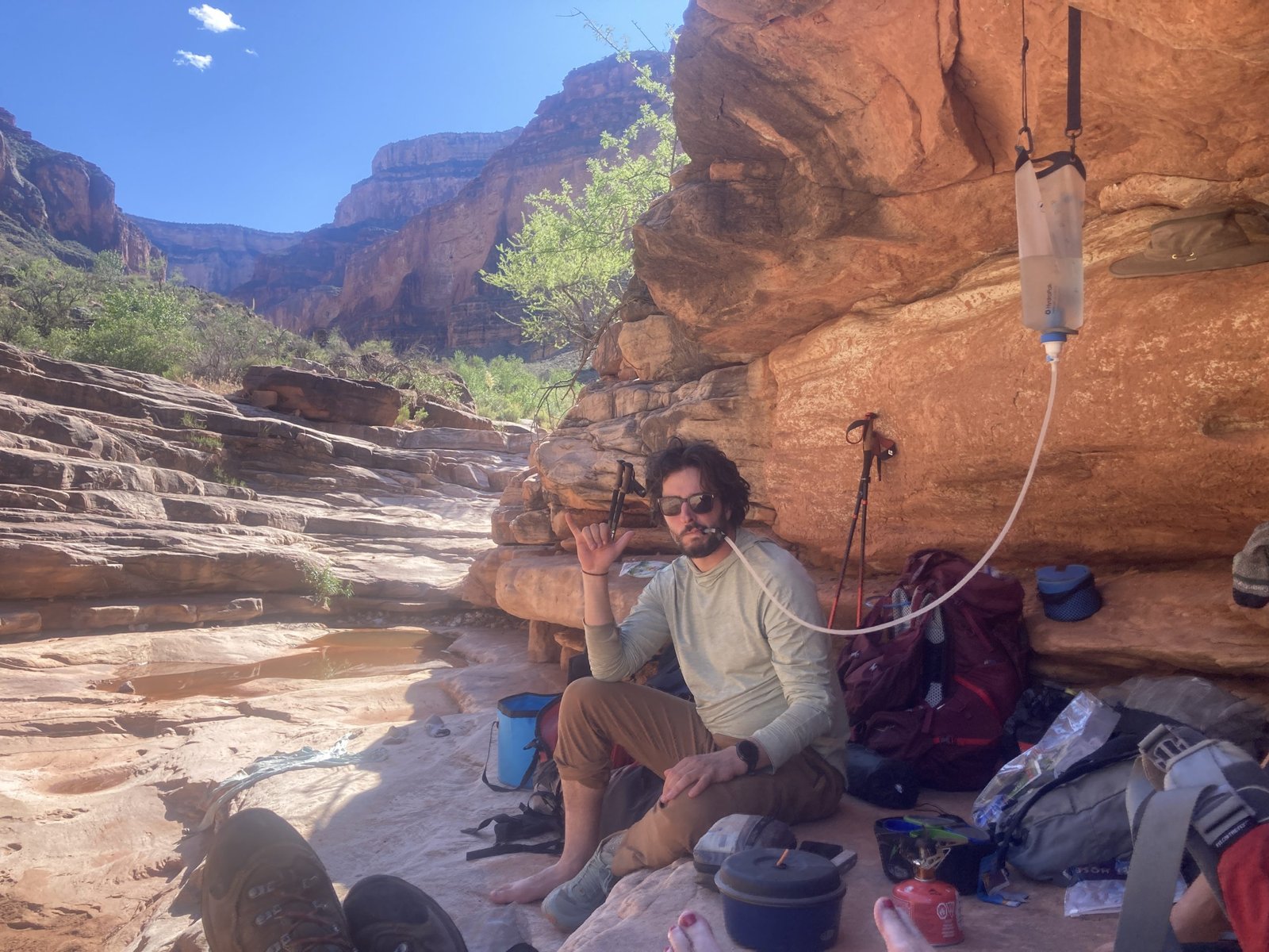
Late in the afternoon, we packed our daypacks with our dinner fixin’s and our water setup to prepare our water for our hike the next day. The Gems route is notorious for its lack of water. Tomorrow will be the first of many water carries for “dry” camping.
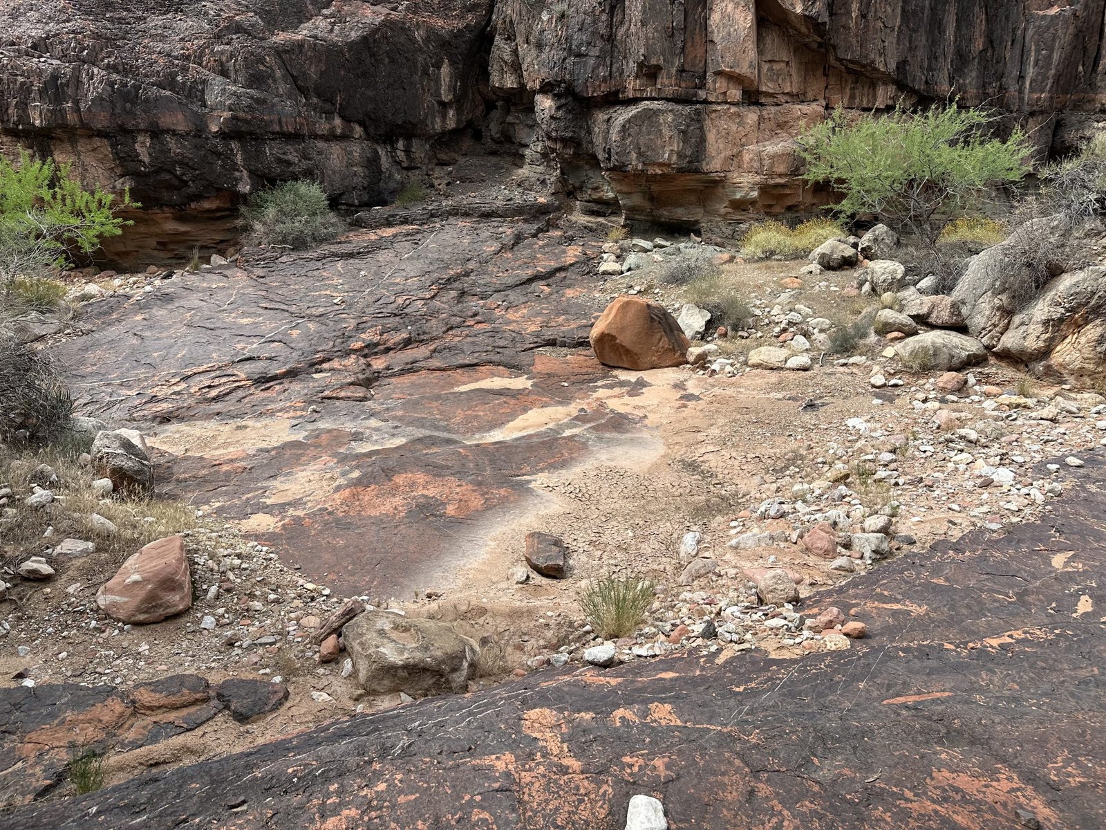
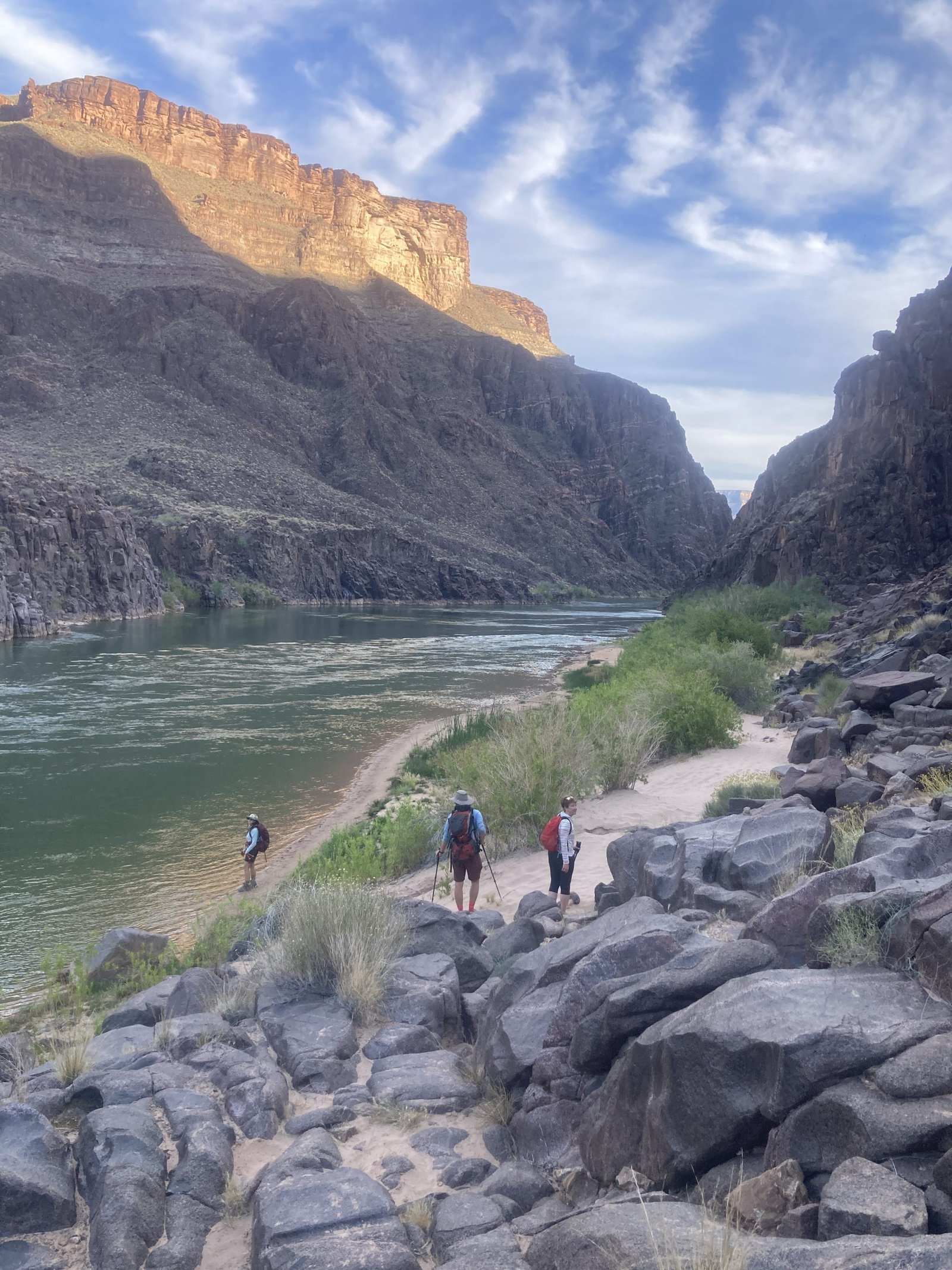
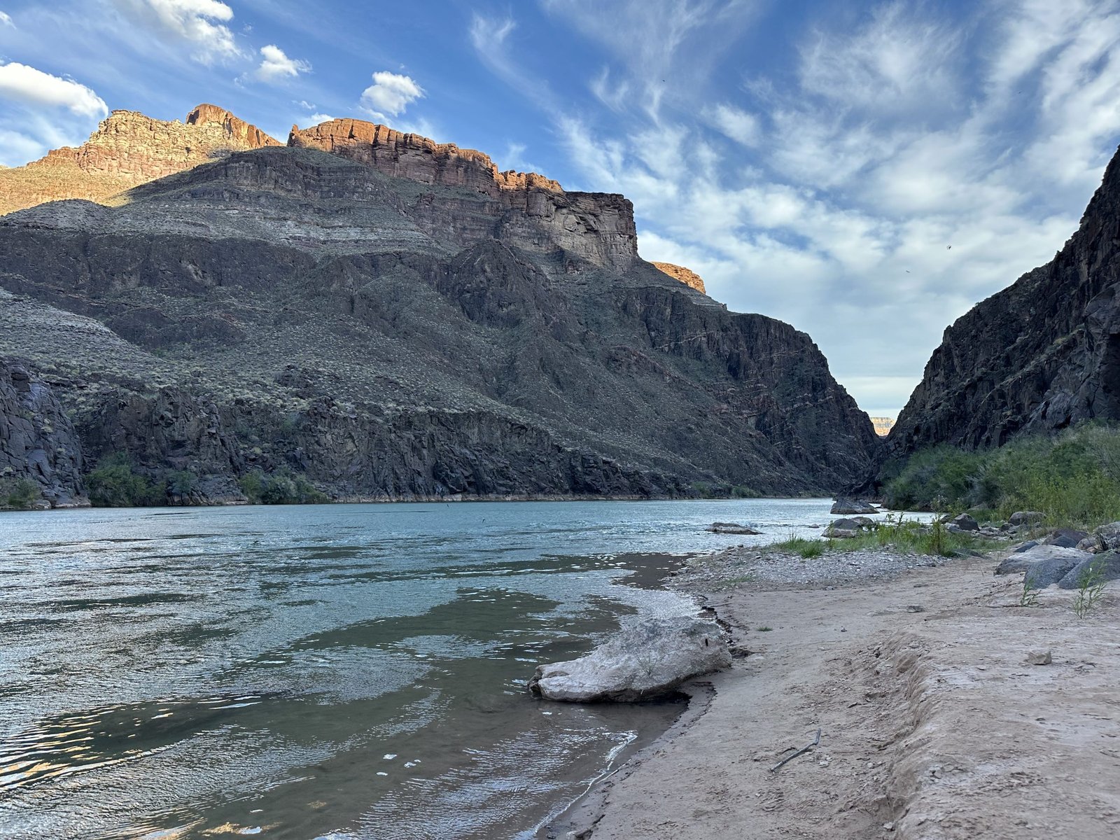
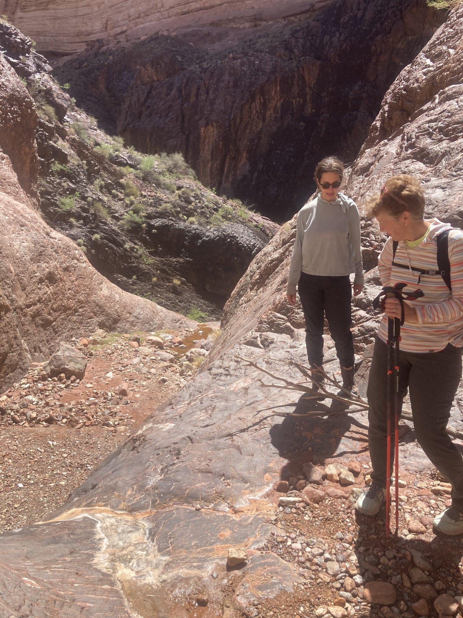
We quickly found the trail to the river. The guys hadn’t quite found it the night before when they went for a water run in the dark. Instead, they went mostly down the wash. It was a pretty easy trail though except when it crossed the wash. We were always on the lookout for the next cairn.
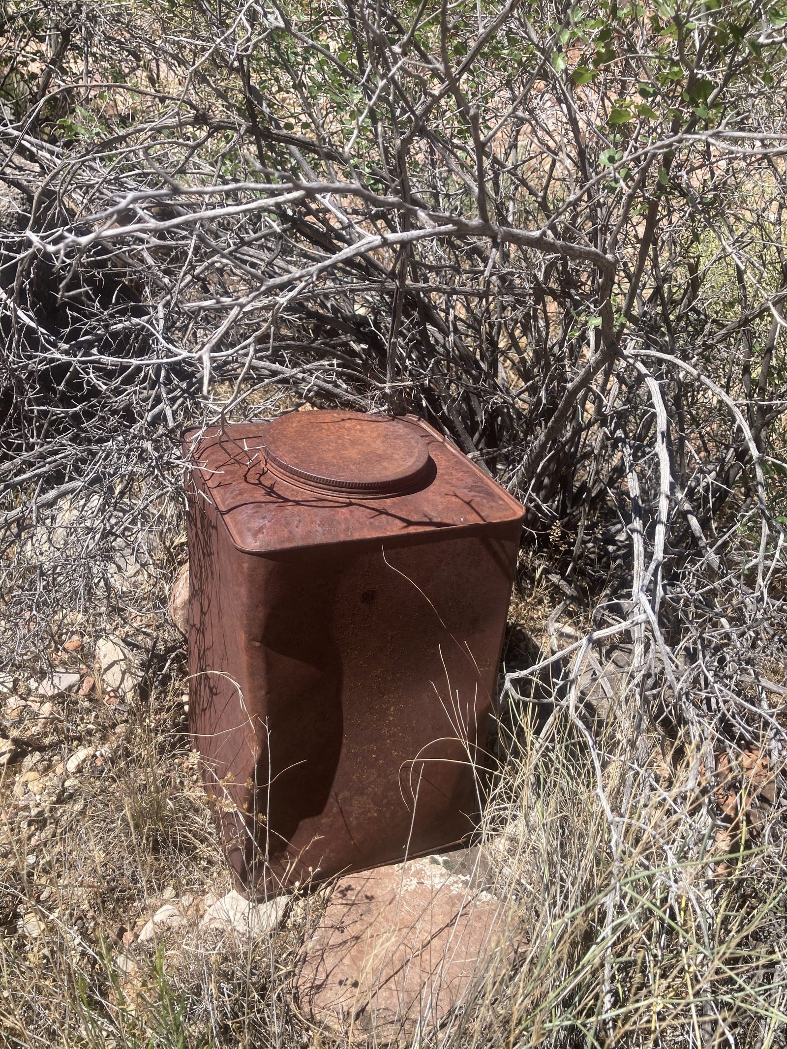
Just above the river, there is a stone box. Was it an oven? Storage? Or?
We worked our way down to the river. The trail was faint but we found our way ok. Then we stumbled upon it. The Ross Wheeler boat!
It’s a great story — here’s the full tale of the Ross Wheeler:
The Building of the Boat
The Ross Wheeler was designed and built in 1914 by Bert Loper, who named it for local steamboat pilot Roswell “Ross” Wheeler. Loper was one of the legendary pioneer river-runners of the American Southwest, spending decades navigating the Colorado River and its tributaries. Adamschallau
The 1915 Film Expedition
The boat was used during an expedition led by Charlie Russell, who, along with August Tadje and Leslie Clement, had planned to make a motion picture of running the Grand Canyon by boat. It was an ambitious project — capturing on film what was still one of the most dangerous and remote river journeys in the country. Adamschallau
The plan fell apart quickly. They discovered that the small boat was cumbersome and prone to tipping. After several mishaps and with fatigue setting in, they elected to abandon the boat at Bass Rapid at river mile 108.3 and hiked out of the canyon, never returning. Adamschallau
The Boat’s Strange Second Life
Rather than letting the Ross Wheeler be swallowed by the river, a miner gave it a second life ferrying material across the river to his asbestos operation. A miner by the name of John Waltenberg thought the boat might be useful to someone at some point, so he winched it up into the rocks above the high water line. Brad EdmondsonAdamschallau
Where It Sits Today
In 1984, the Ross Wheeler was secured with a chain by the National Park Service. It remains there to this day, perched high above the Colorado River in the Grand Canyon — a rusting steel relic of one of the early attempts to film the canyon’s rapids. Adamschallau
Bert Loper’s Own Fate
As for Loper himself, his story has an equally dramatic ending. In 1949, at the age of 79, Loper ignored his wife’s pleas and, despite his heart trouble, set off in a boat he had built to run the Grand Canyon one last time. He died in the rapid at Mile 24.5, probably of a heart attack, and went missing for 25 years until a hiker found his skeleton near the high-water mark around Mile 180. Brad Edmondson
The Ross Wheeler and Bert Loper are both fixtures of Grand Canyon lore — the boat still visible to river travelers passing Bass Rapid, a monument to the wild early era of Colorado River exploration.
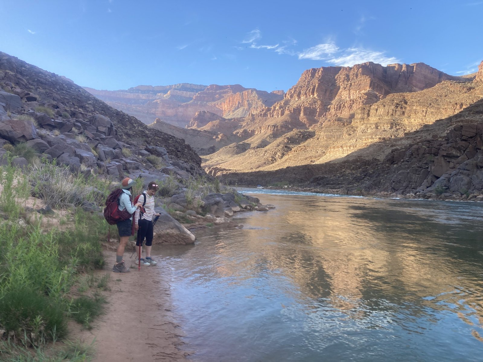
The South Bass beach is small but adequate. Reid and Hilary chose to sit on the sand and make their dinner. Lenny and I sat on the rock layer under the South Bass pouroff. We all enjoyed the evening and wished we would have come down sooner.


After dinner, we headed back the 1+ mile to camp. Thankful I brought my headlamp. One thing I learned early is whenever you go on a hike with Lenny, always bring a headlamp!
Day Three - April 13, 2026
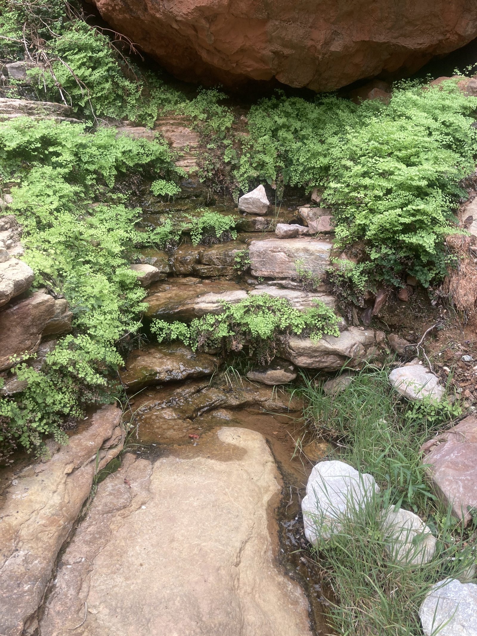
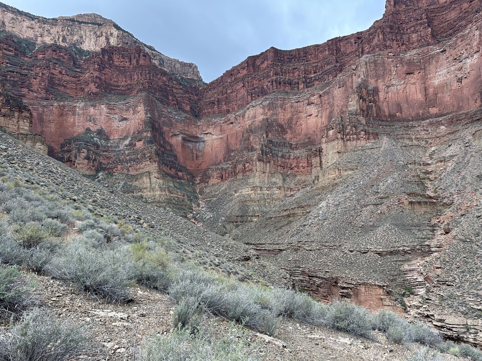
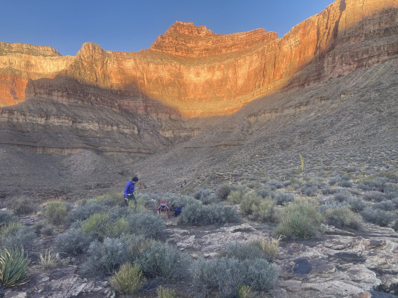
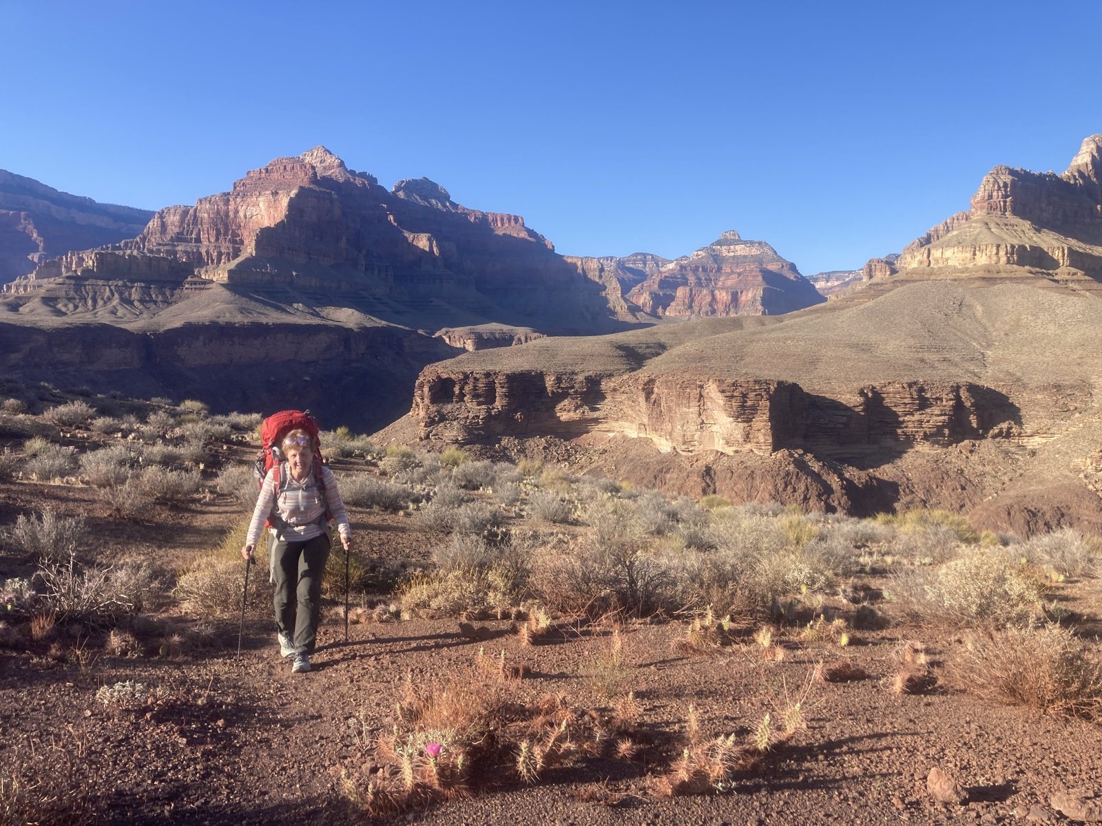
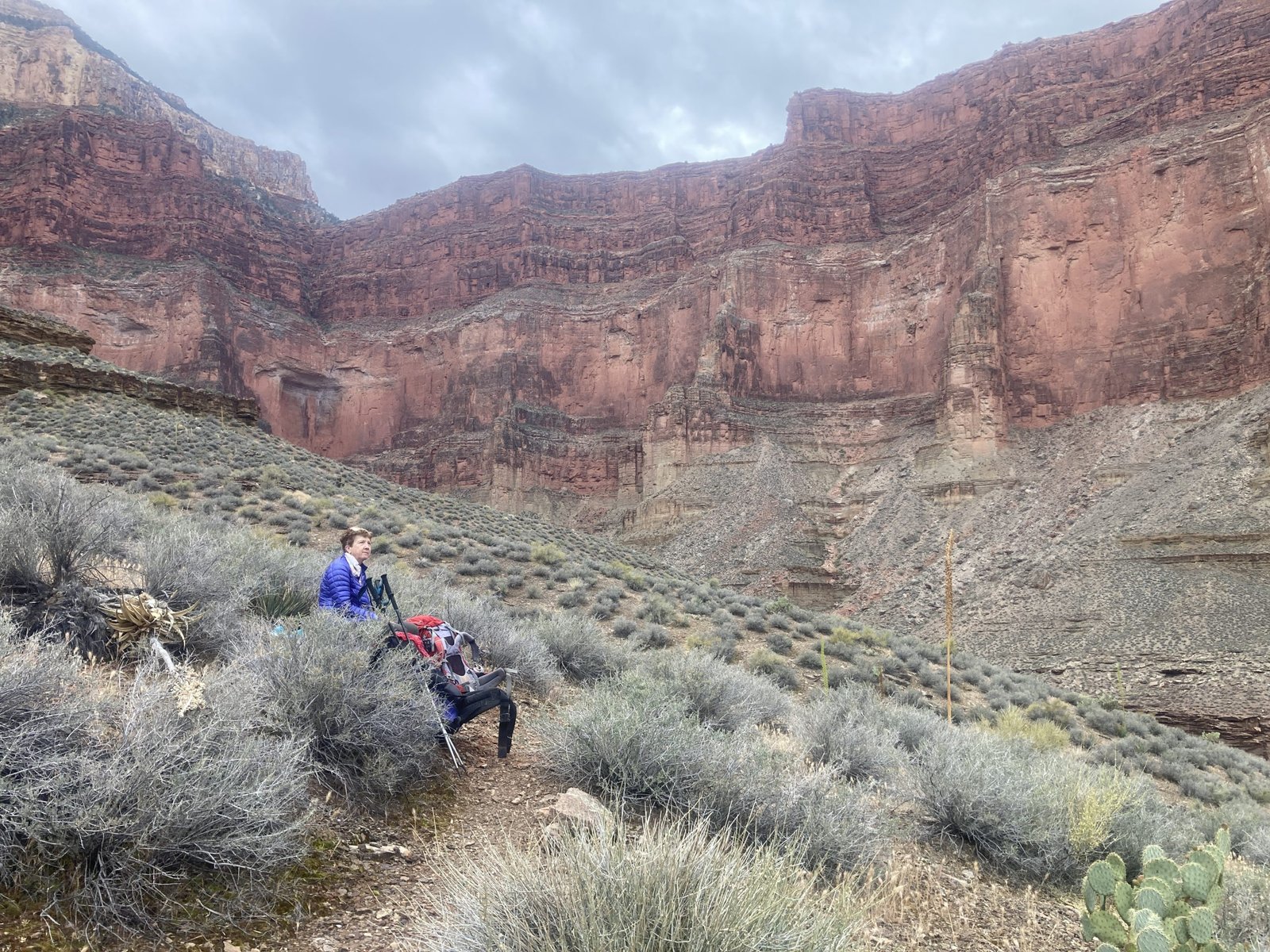
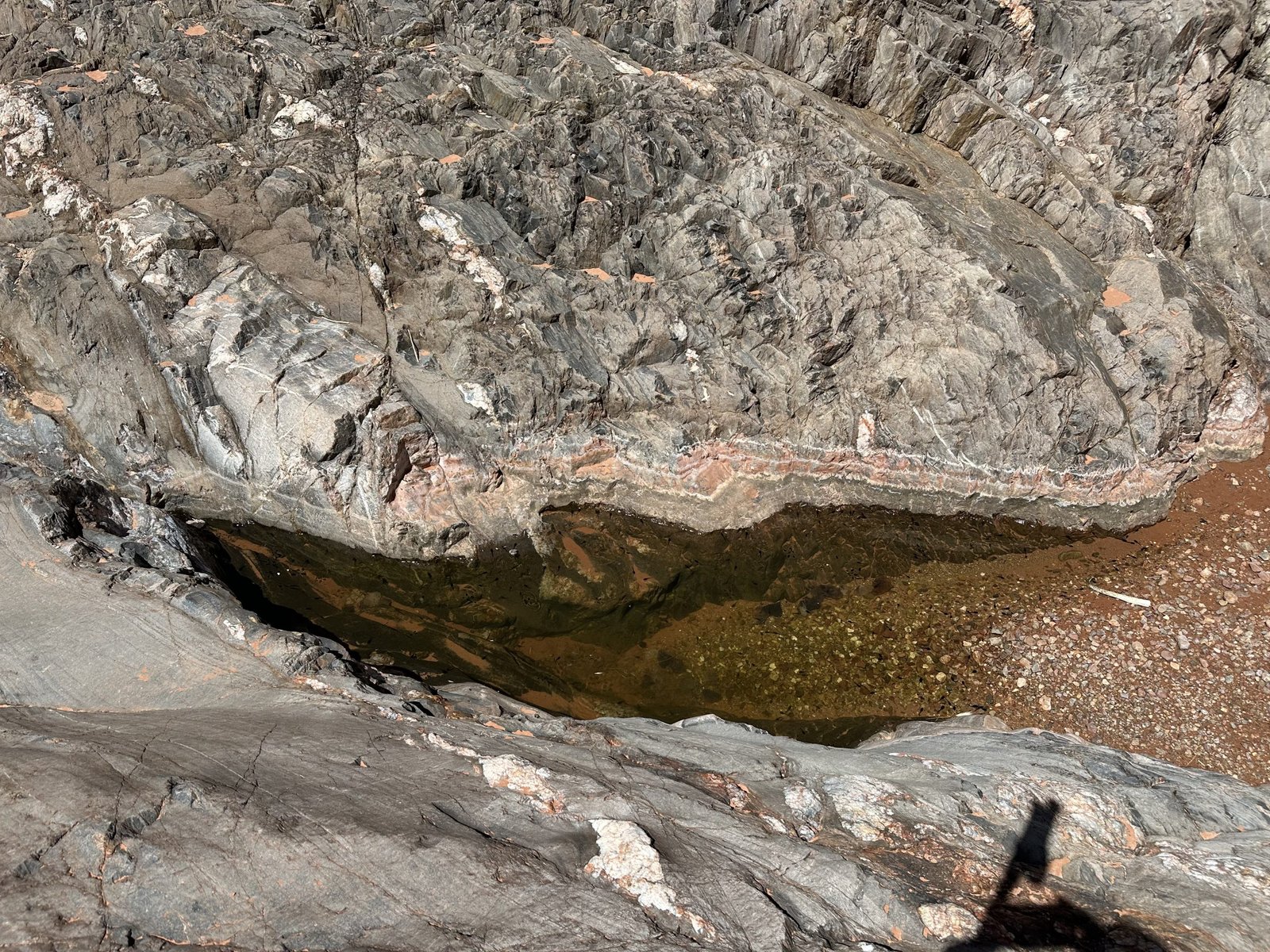
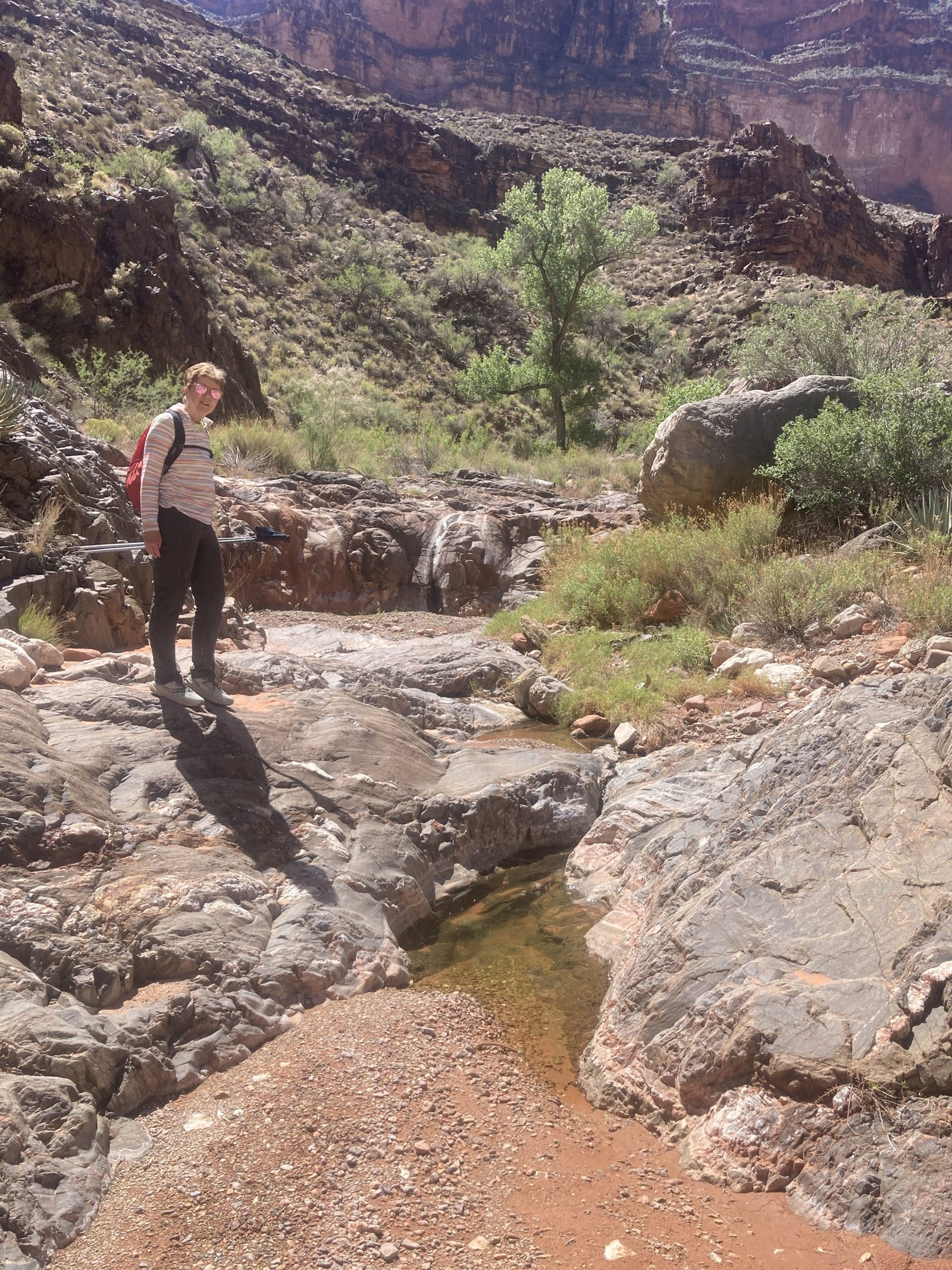
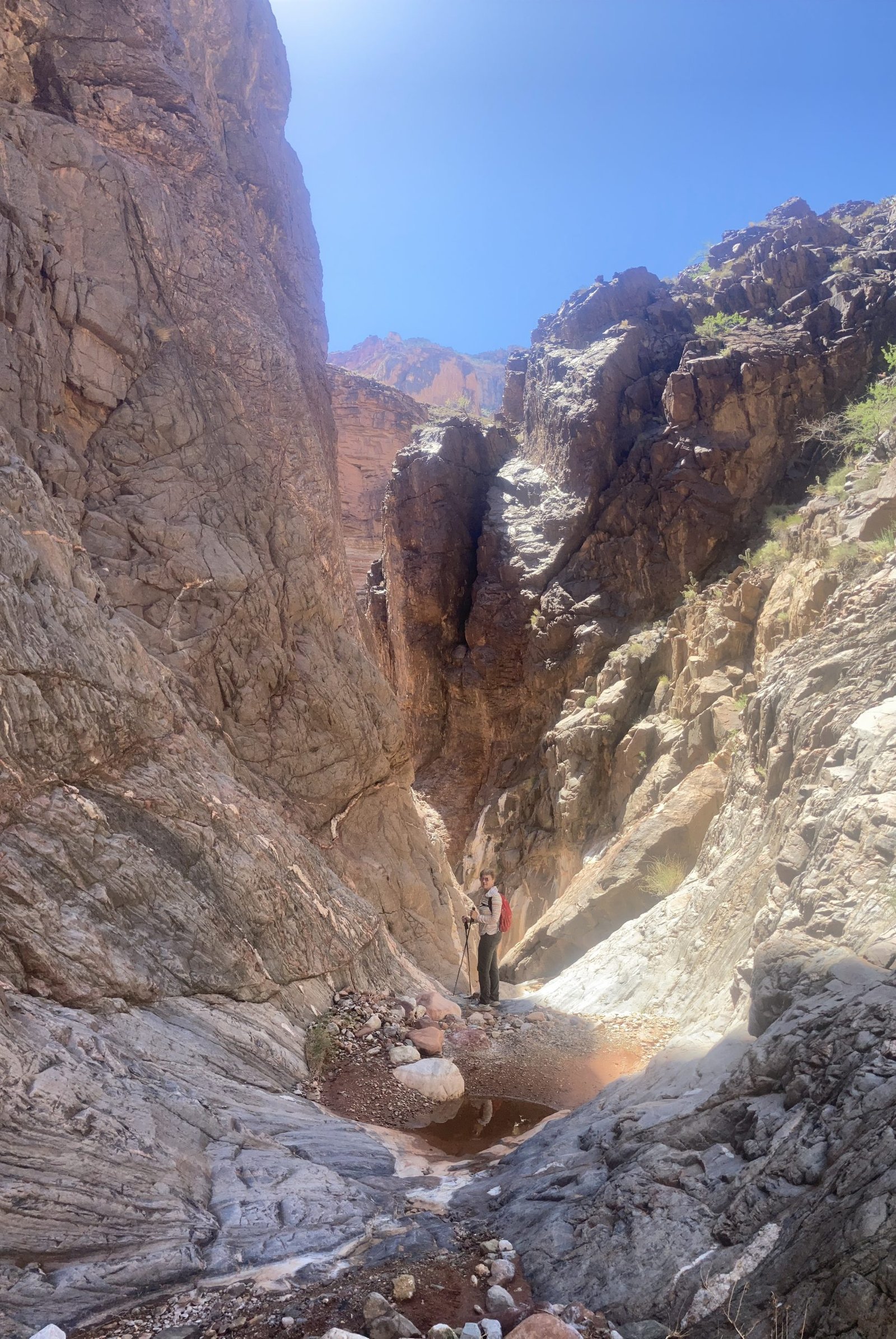
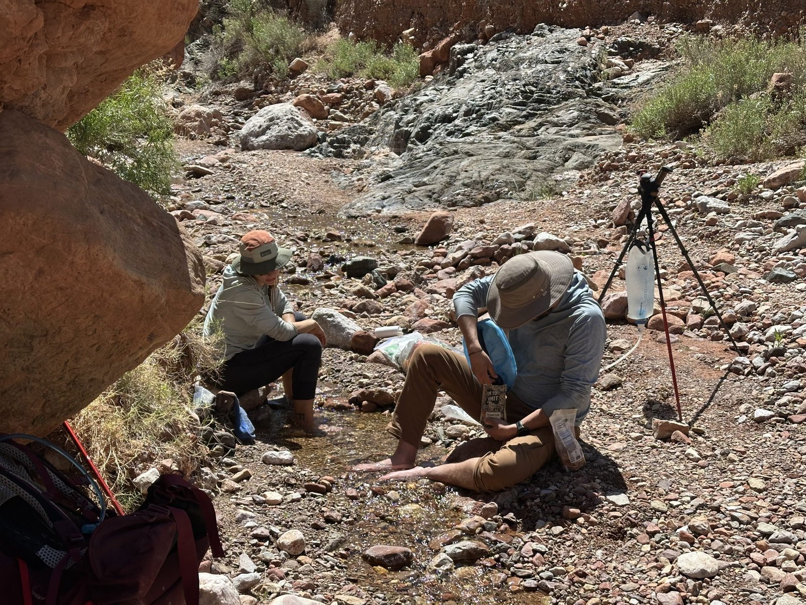
We were up with the sun and packed up our things. Goal for today is Serpentine canyon. It’s not far – maybe 4 miles. And, I heard you can take the canyon to the river if you want or need to. We also heard that sometimes there is a trickle of water flowing where the trail crosses the head of the canyon. Guess we’ll see!
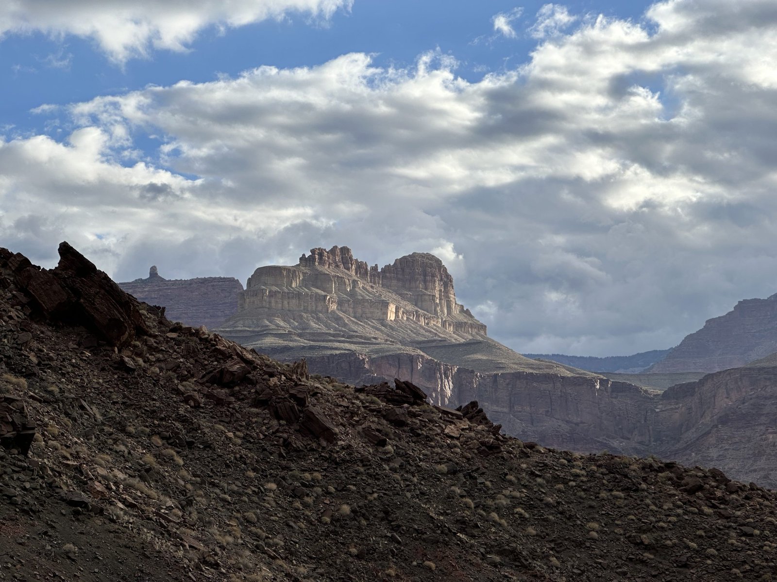
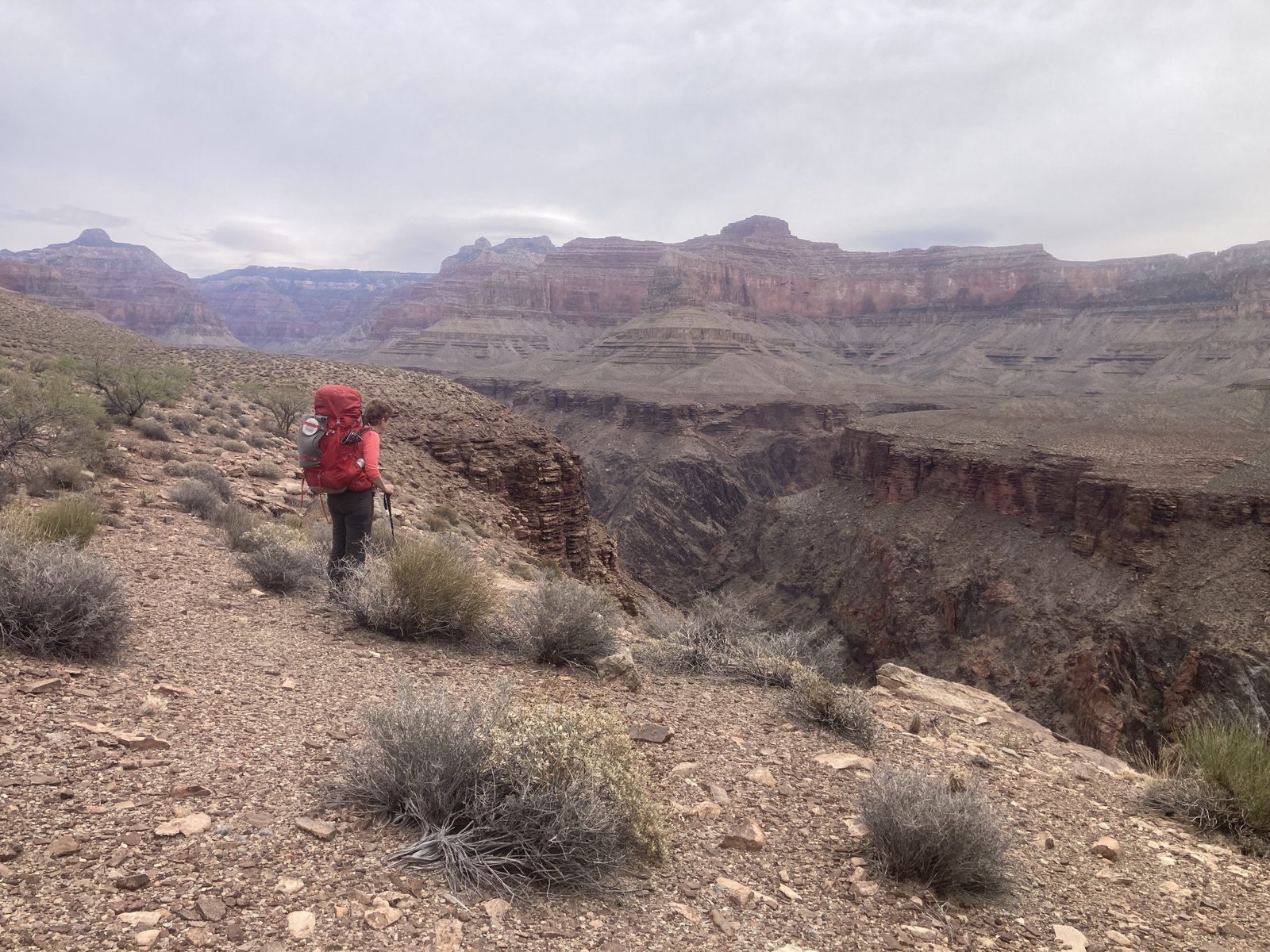
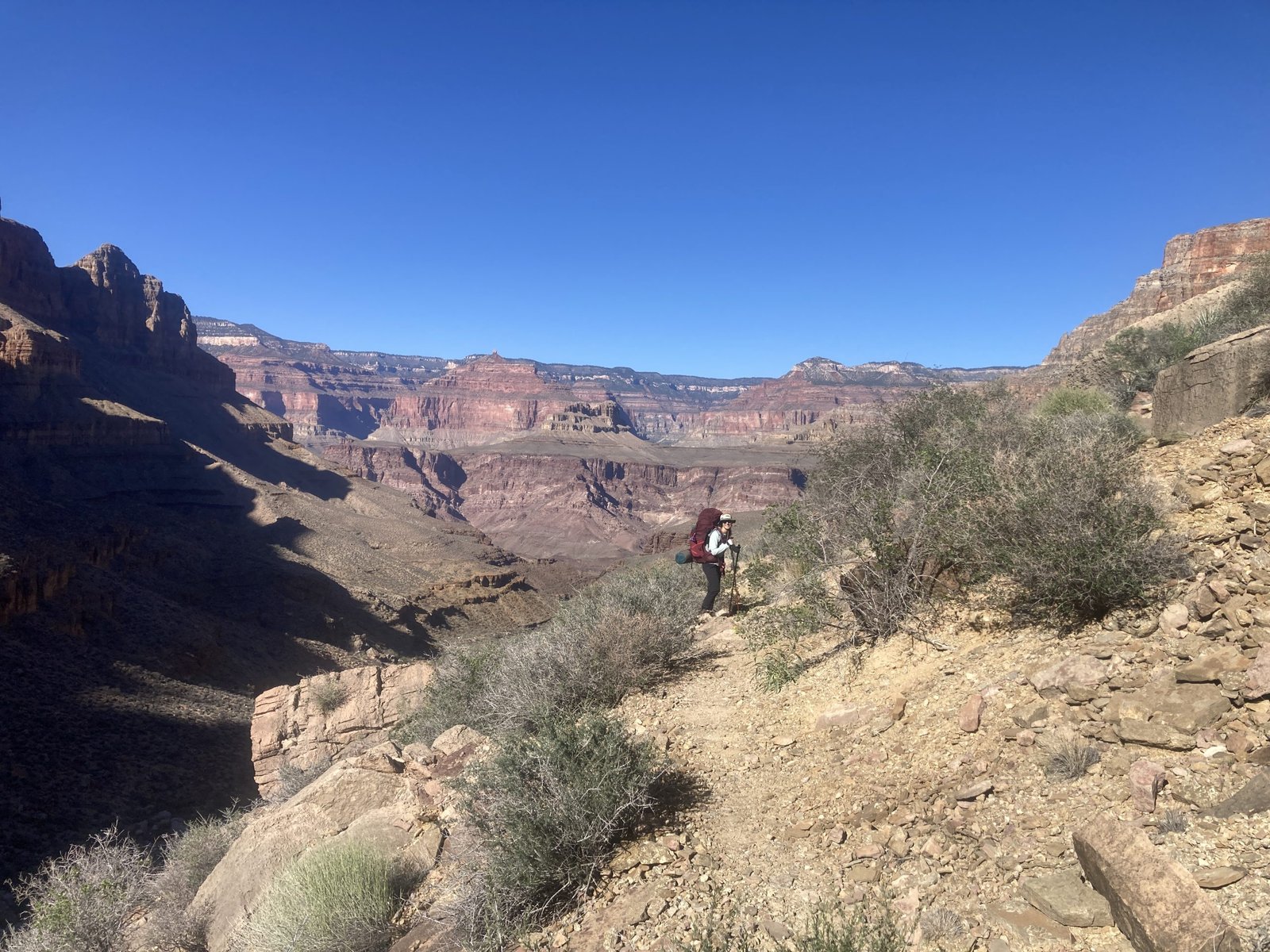
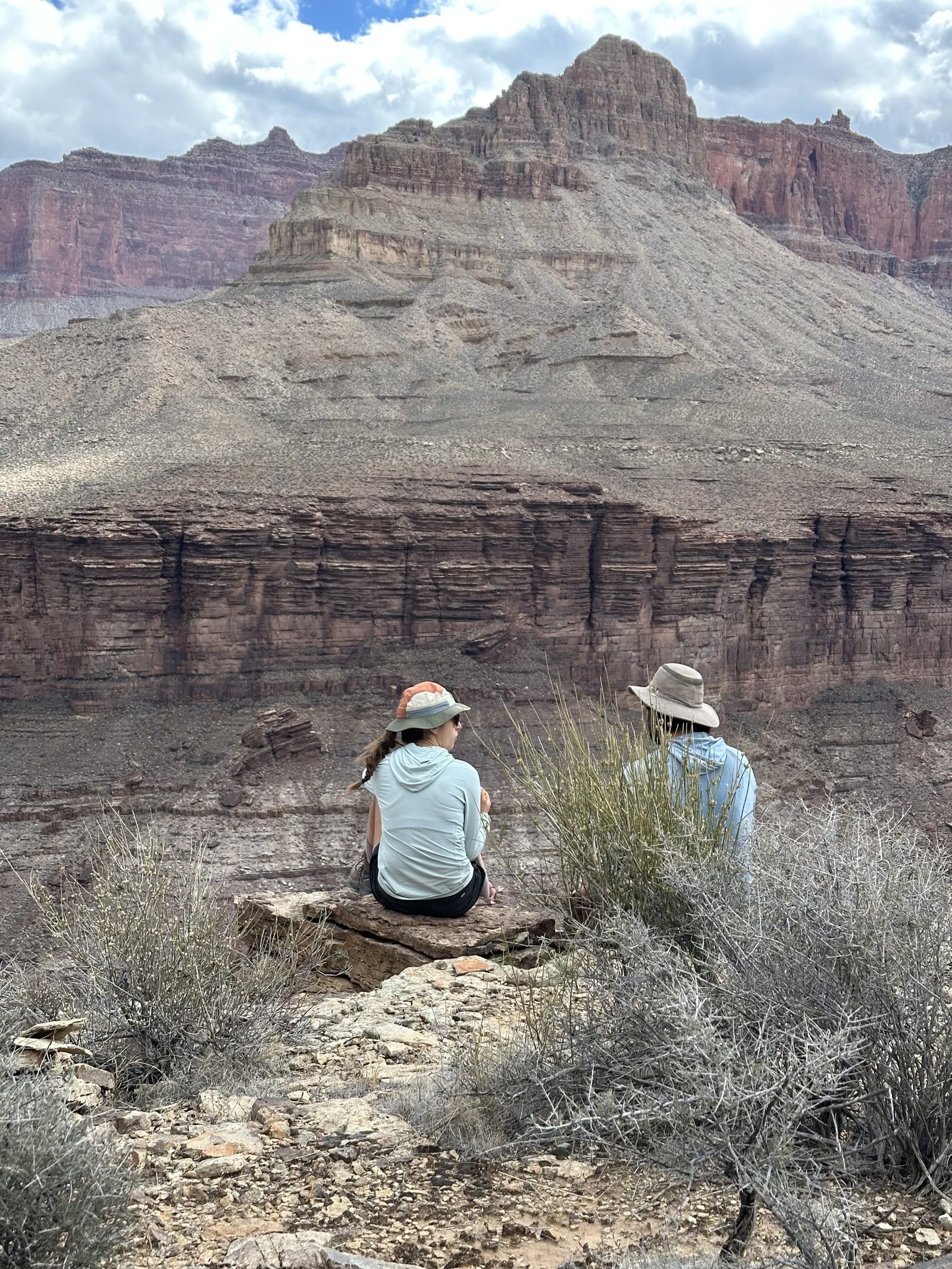
We worked our way back up onto the Tonto. It was a bit of a climb! But then we cruised along, back out to the rim. Along the rim, we had intermittent views of the river. The weather was nice and cool. In fact it was getting cloudy. We made it to the back of Serpentine canyon at around 1:30pm.


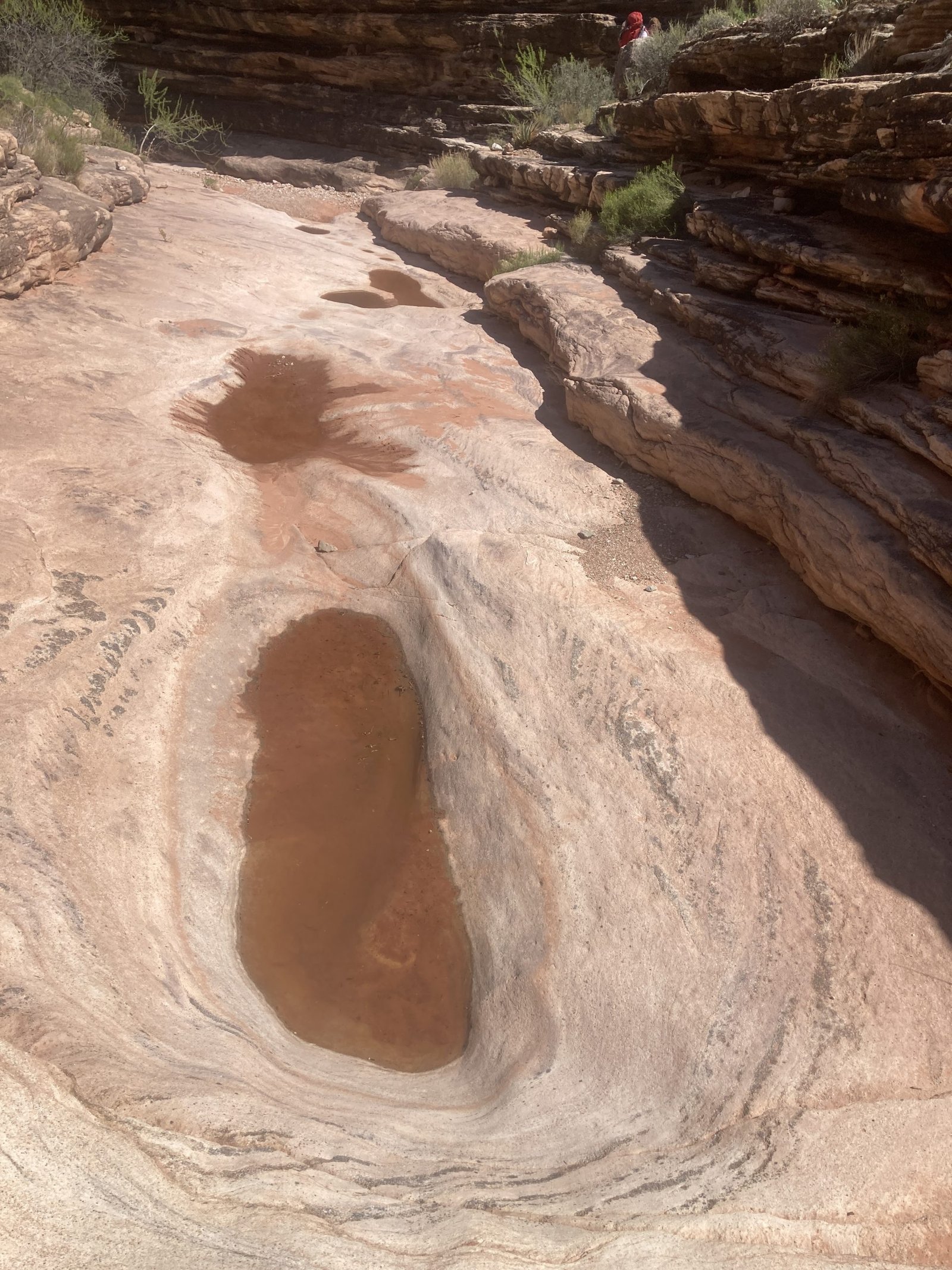
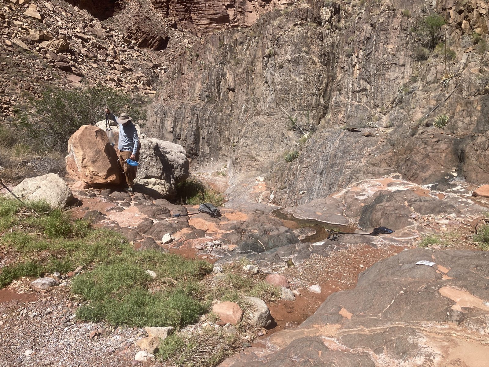
Turns out none of us really wanted to hike to the river. Not to camp and not for a water run. But, there also wasn’t enough of a water trickle for us to get water from.
There was a small puddle about the size of a shoebox with tadpoles and we could see it was refilling, albeit very slowly. So we knew water was running under the gravel somehow.
The guys hiked up Serpentine canyon to see what they could find and Hilary and I stayed behind and dug holes in the gravel. I was able to create a cantaloupe-size puddle and she did as well, but there would not have been enough to sustain us.
Fortunately, the guys found a beautiful spring about a quarter mile up in the east arm of the canyon! It was like an oasis!
The guys came back with a load of water for all the next day plus. We ended up carrying a lot of water each day, preparing to dry camp at our next stop. It’s a lot of extra weight, but insurance for sure!
Lenny had scouted down canyon. He hadn’t seen any water but did find a small camp area about 1/10th of a mile down from the trail crossing. It wasn’t anything very scenic or pretty but, it would do.
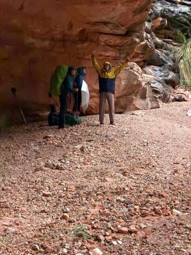
As we were heading down, the skies opened up into a downpour! Just before the camp site, there was a large overhang. We hung out there to stay dry until it ended.
Day Four - April 14, 2026
In the morning, we said goodbye to Serpentine canyon. The morning was cool as we looked back down on the canyon at the overhang that kept us dry the previous evening.
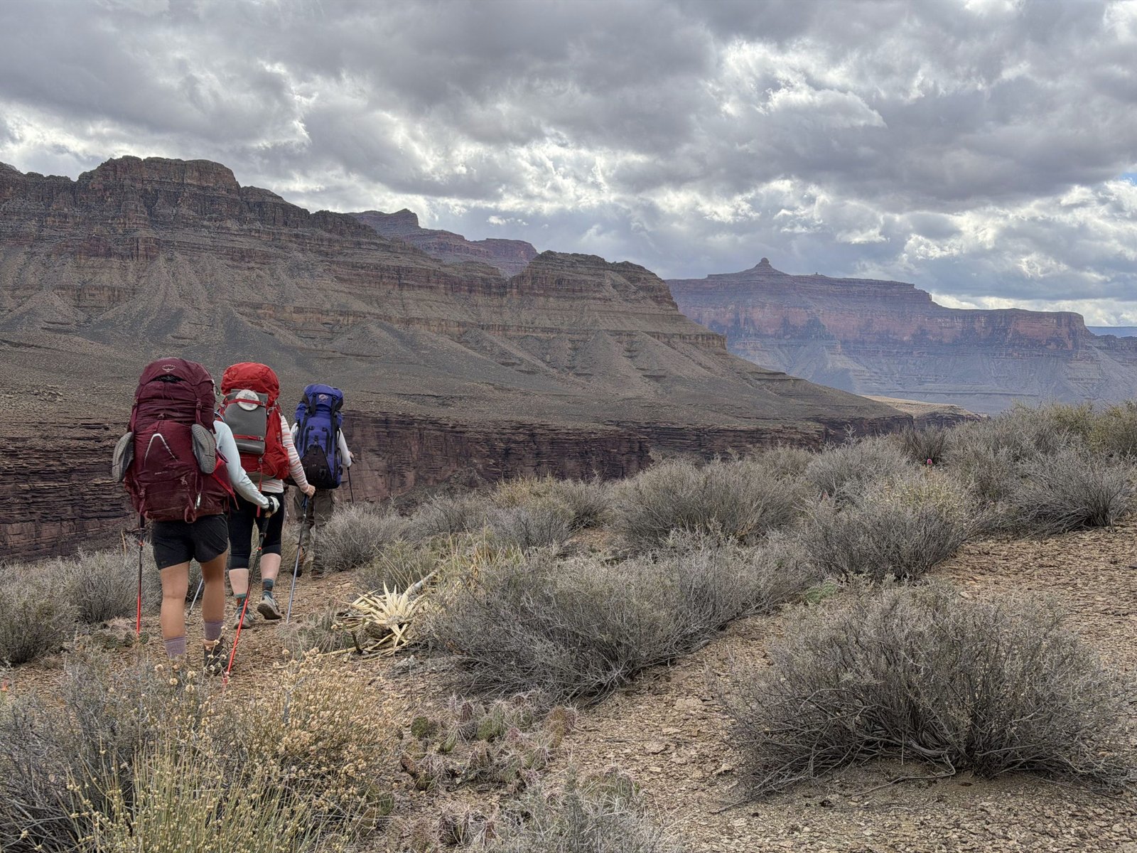
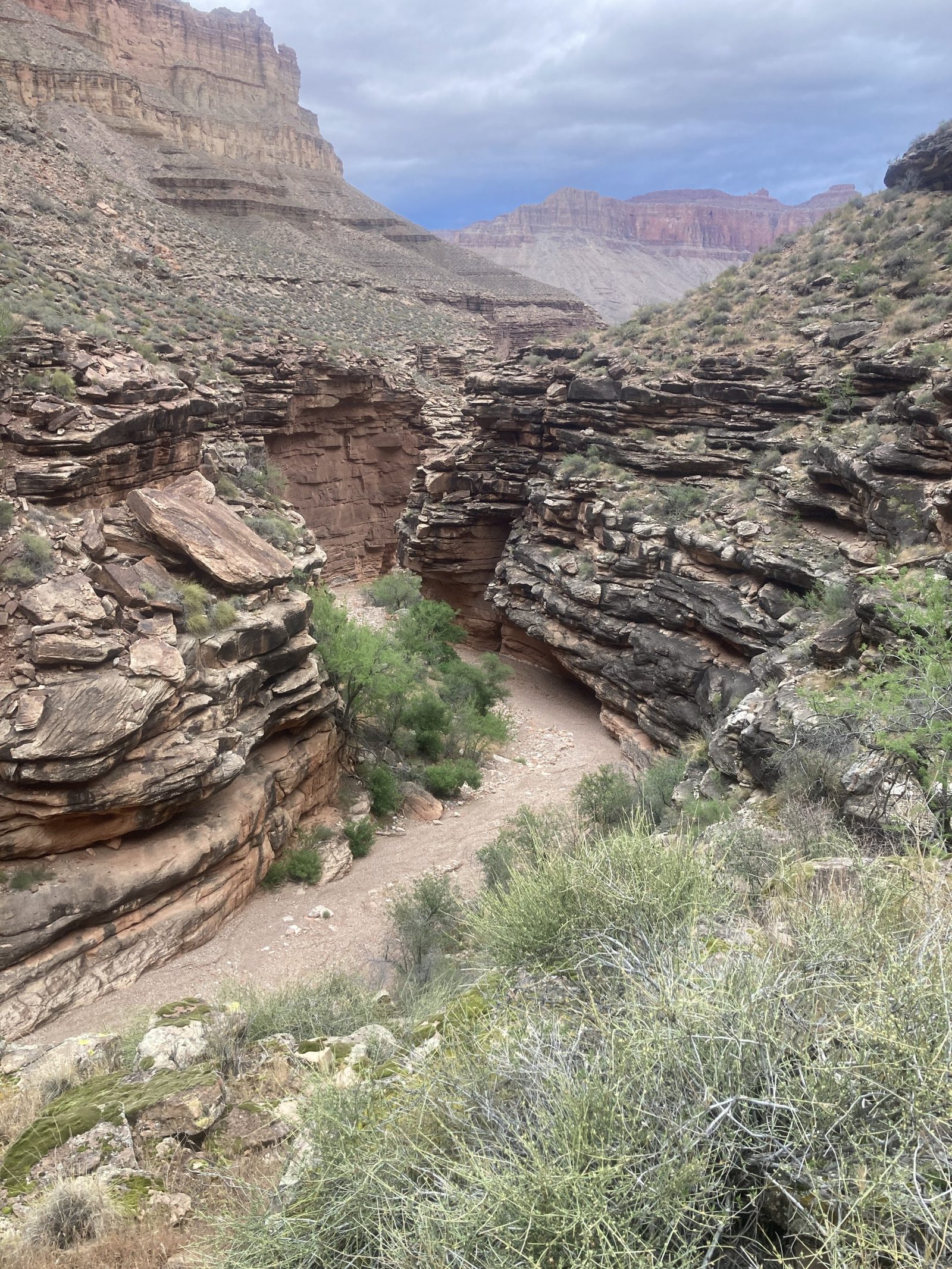
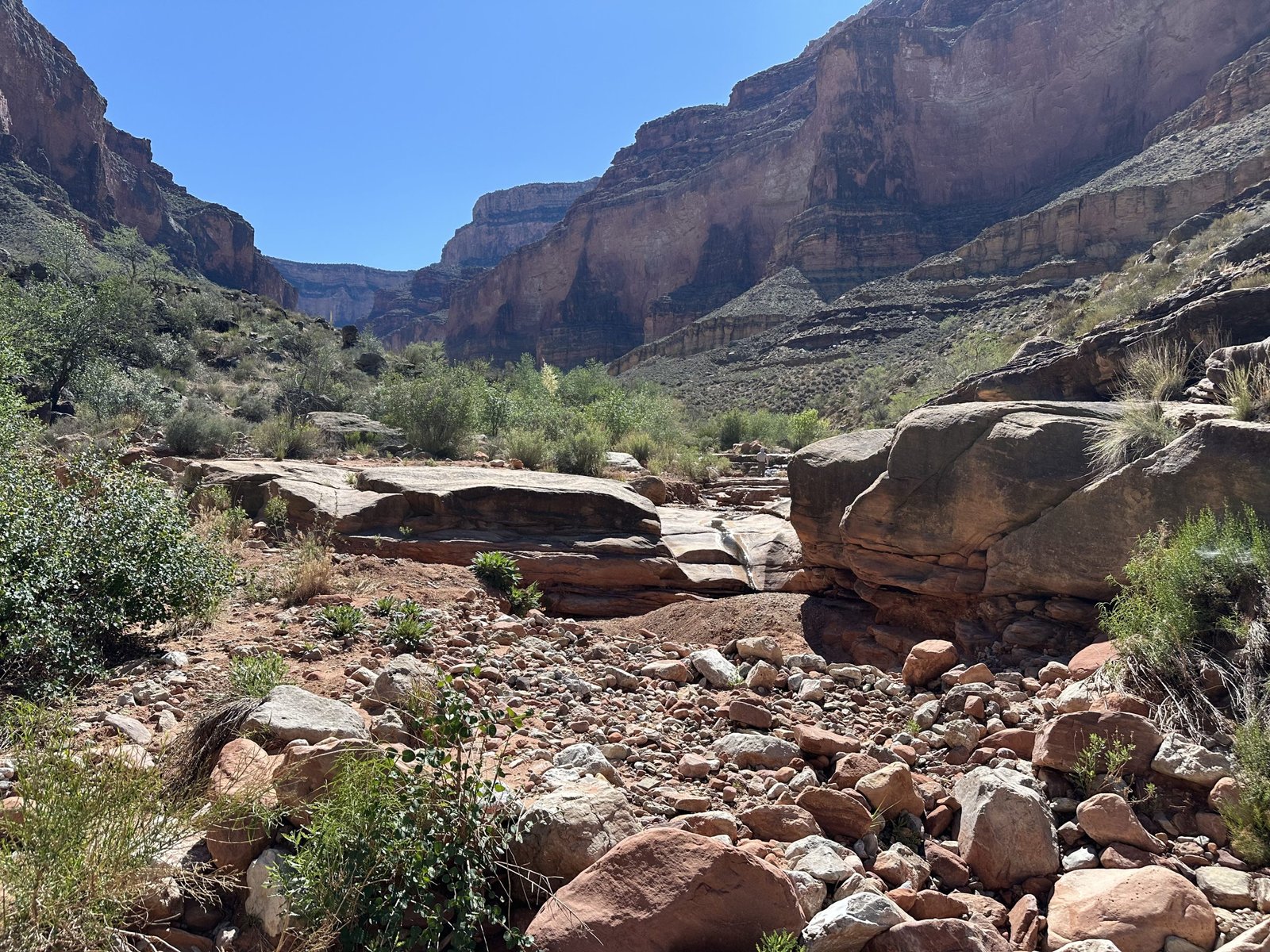
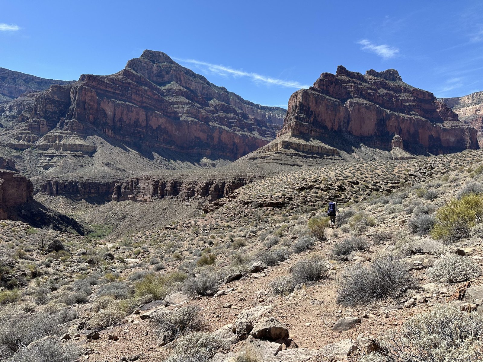
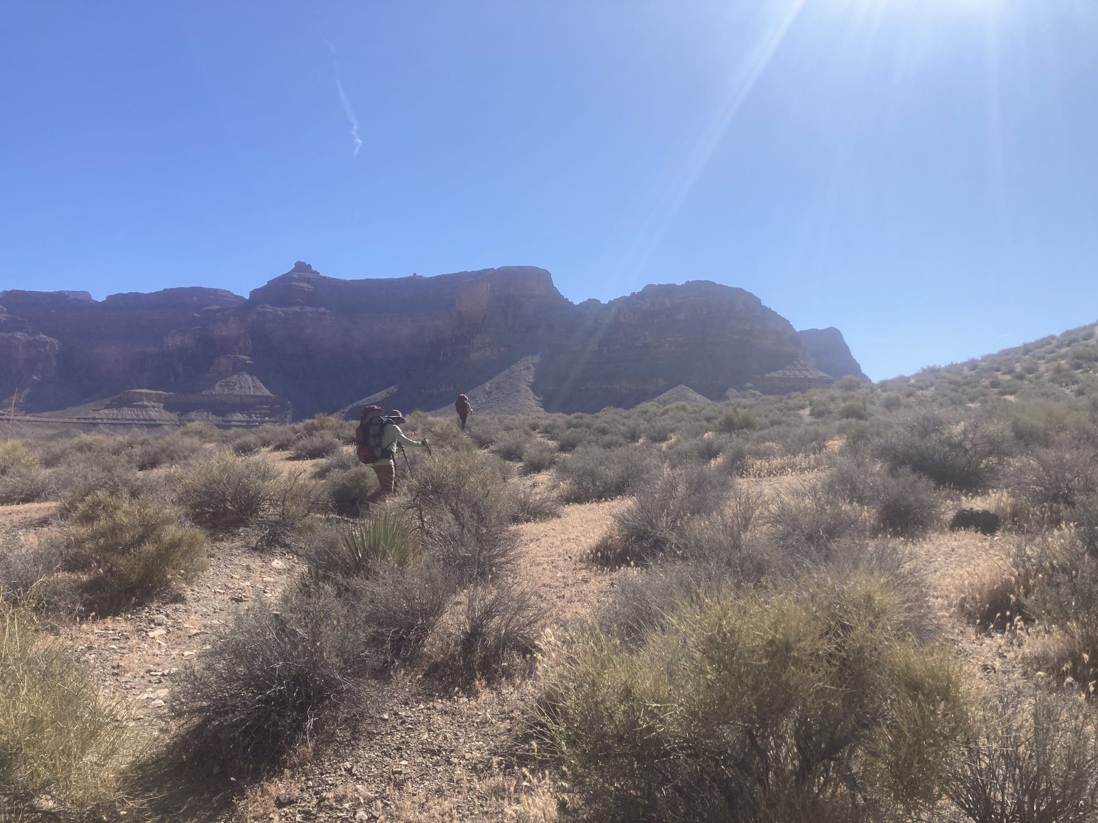
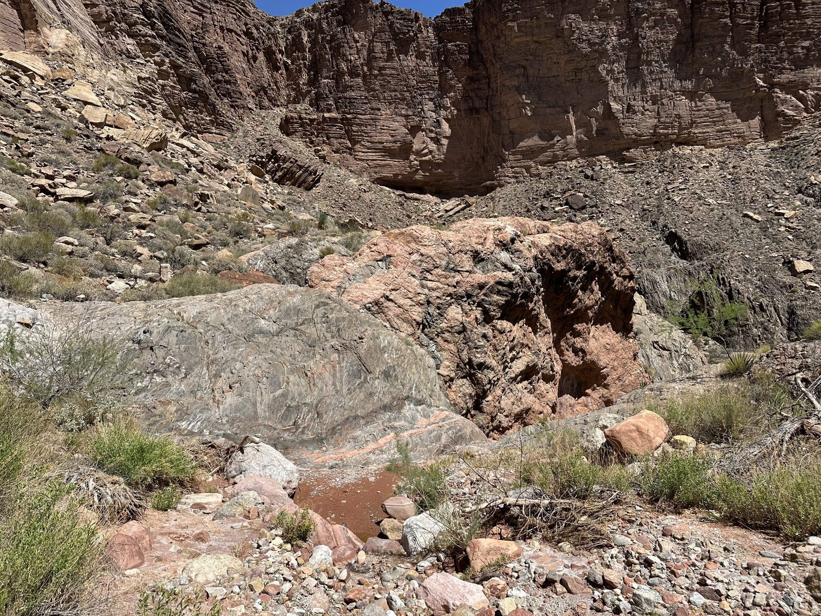
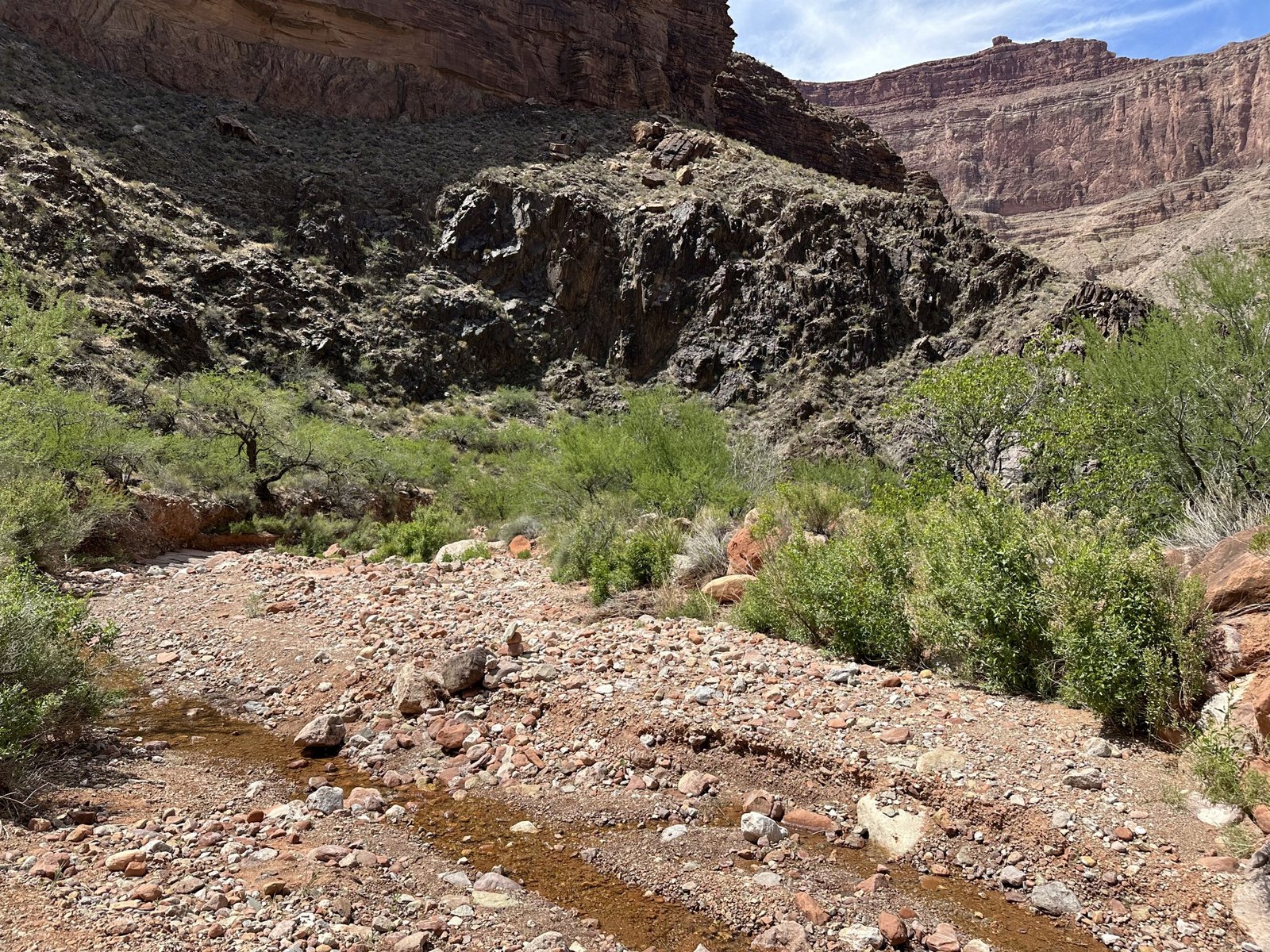
Our goal for this day was Ruby canyon. It was “only” about 5 miles away. But we first had to make our way through Emerald and Quartz canyons.
We set off, loaded with water.
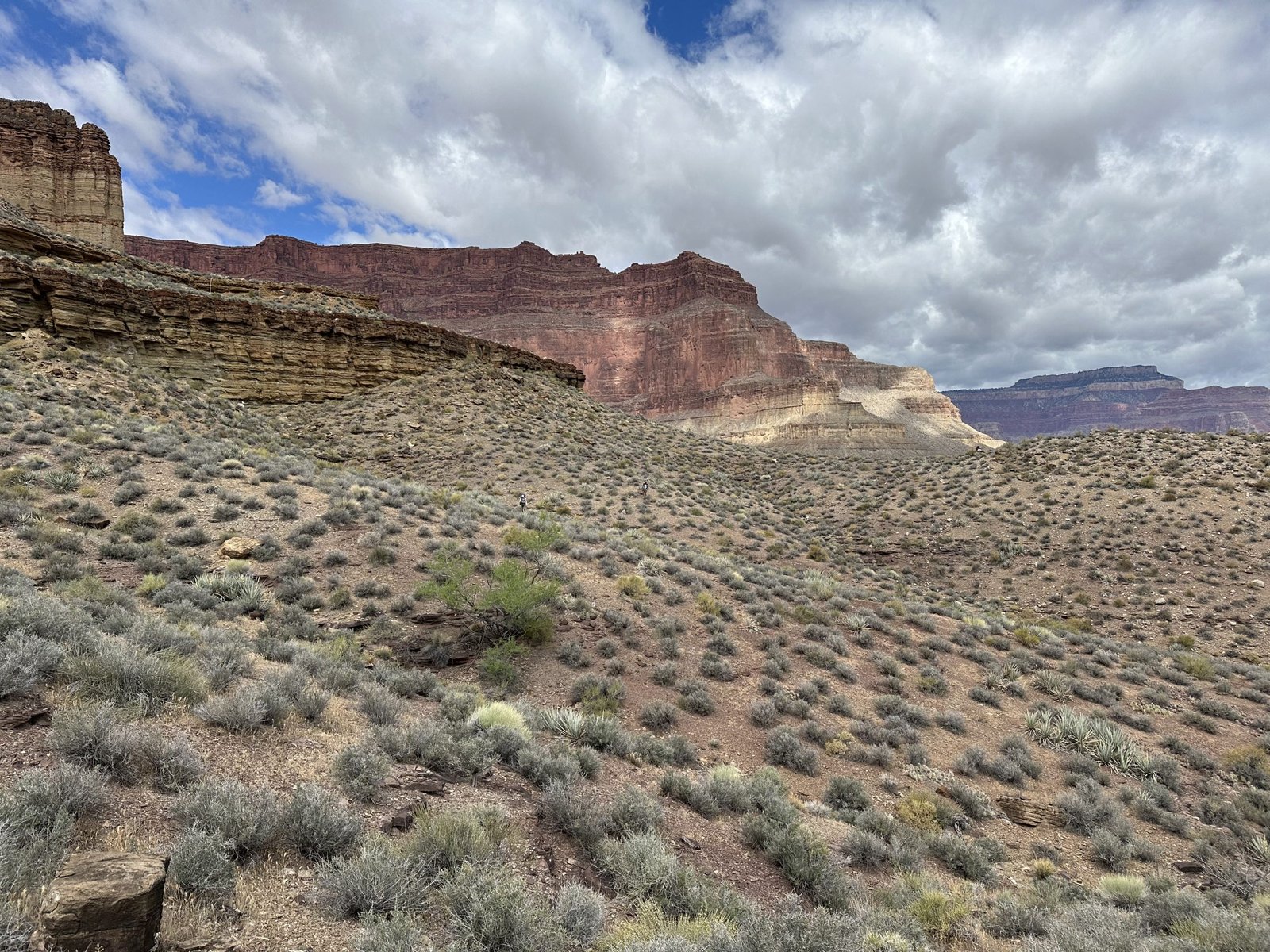
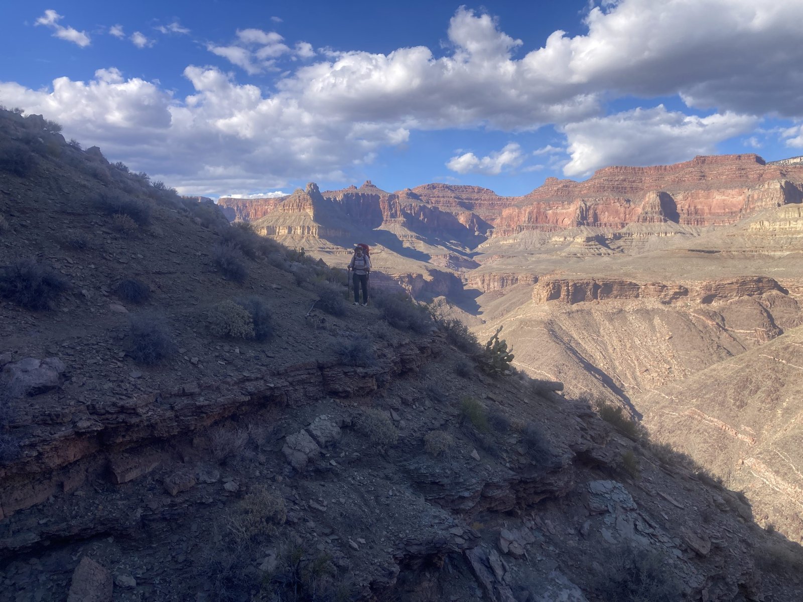
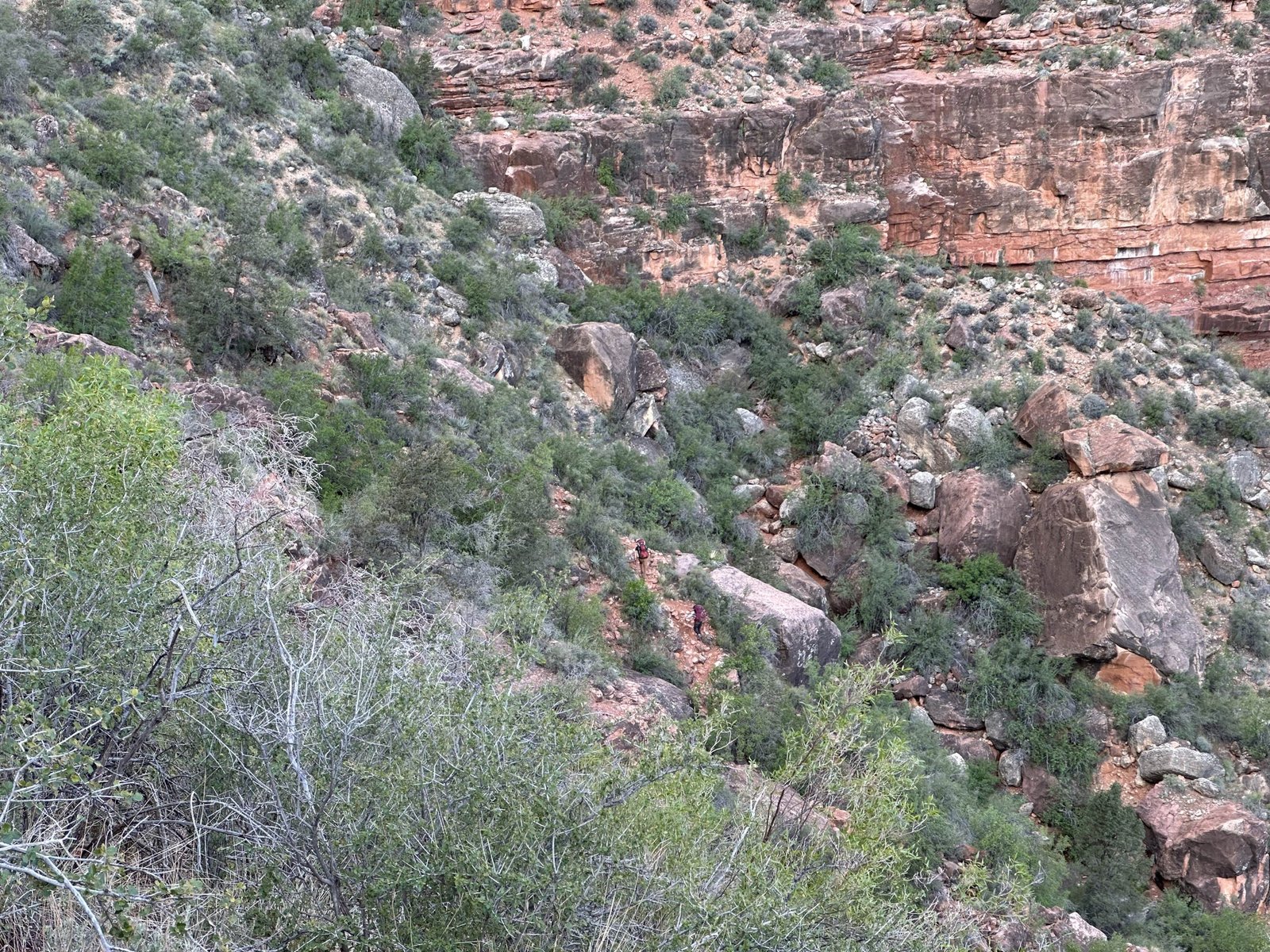
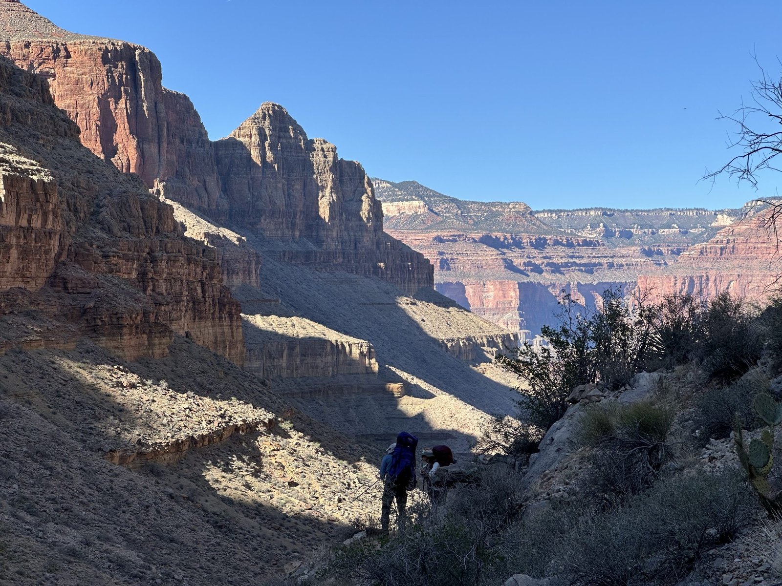
(Above) We’re climbing out of the canyon.
(Below) Looking back at the head of Serpentine canyon. These canyons will dwarf you! Can you find the trail we came in on over at the other side of the canyon? Try enlarging the photo by clicking on it.
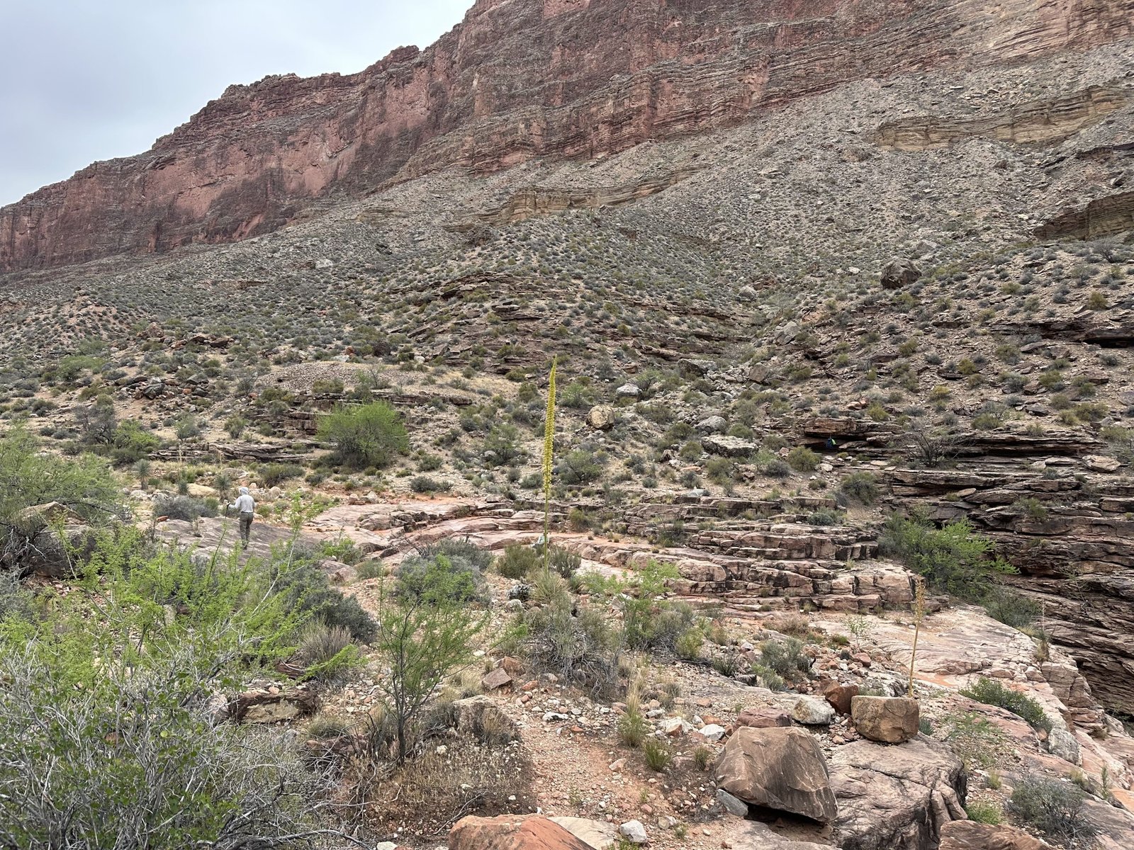
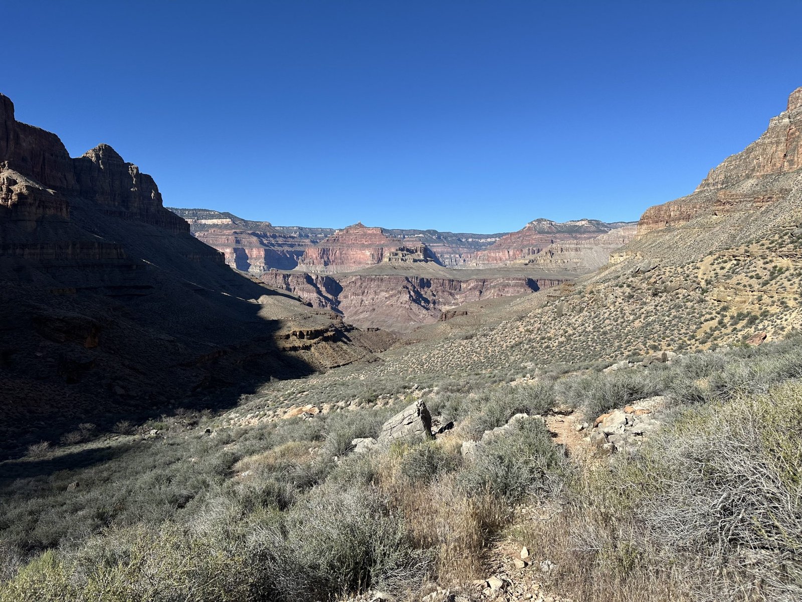
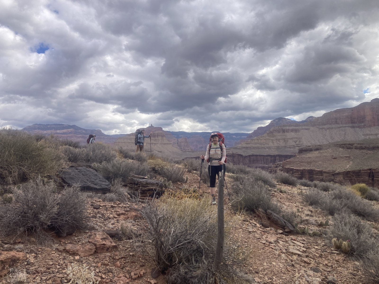
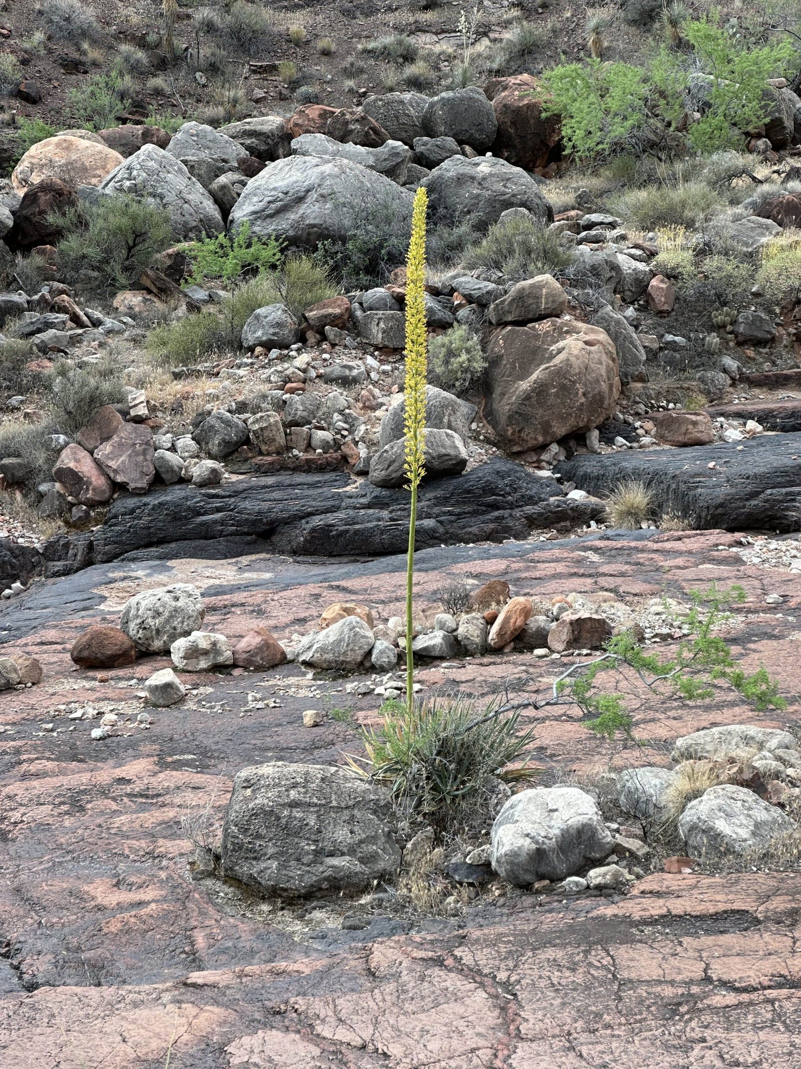
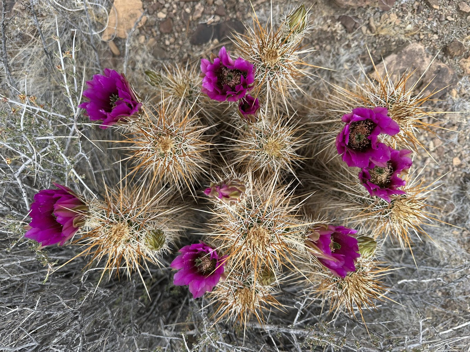
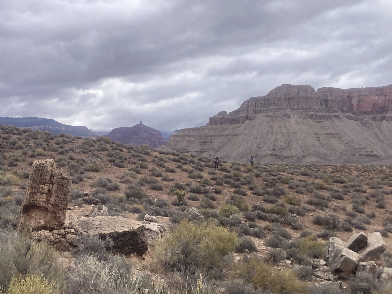
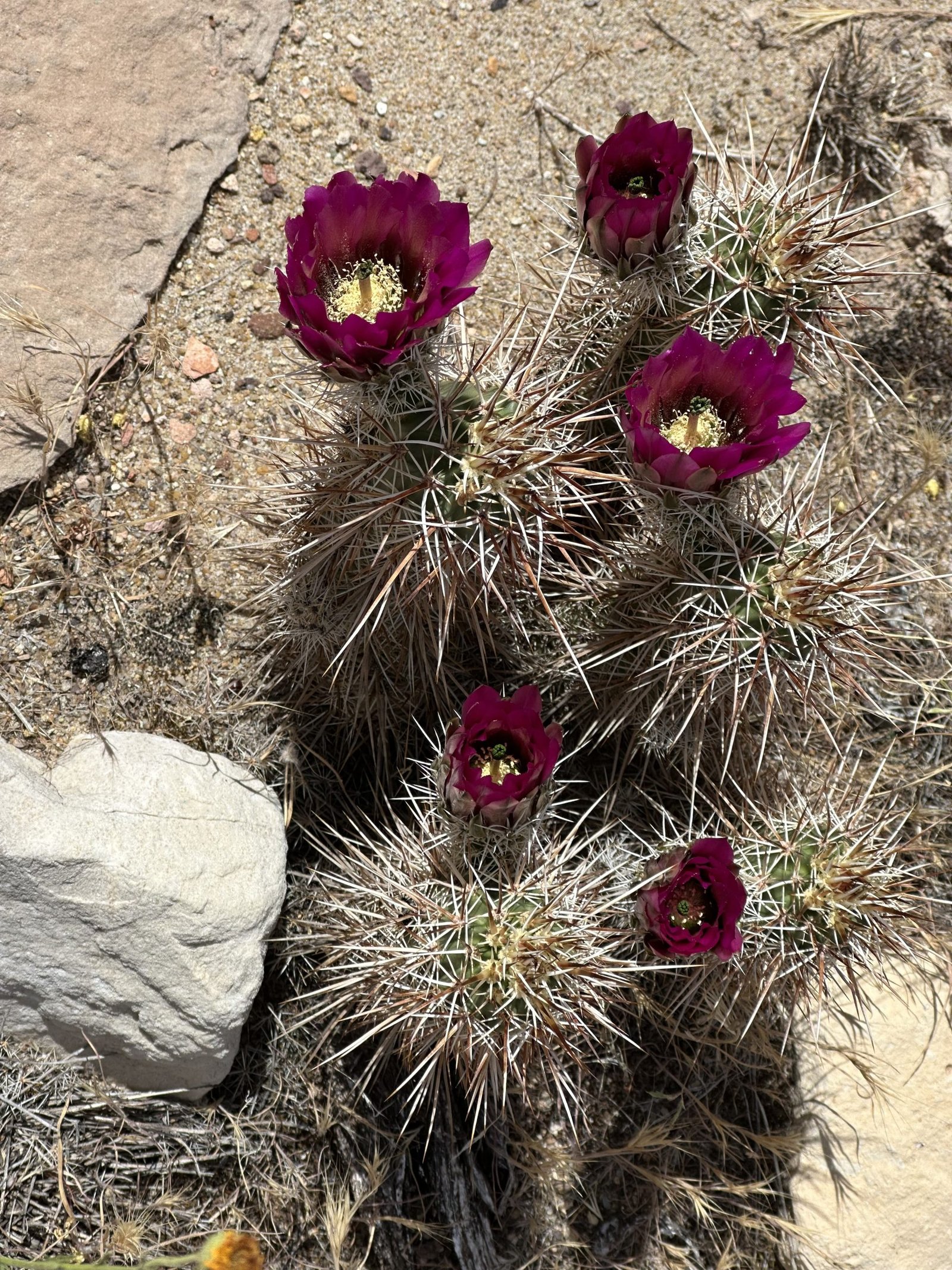
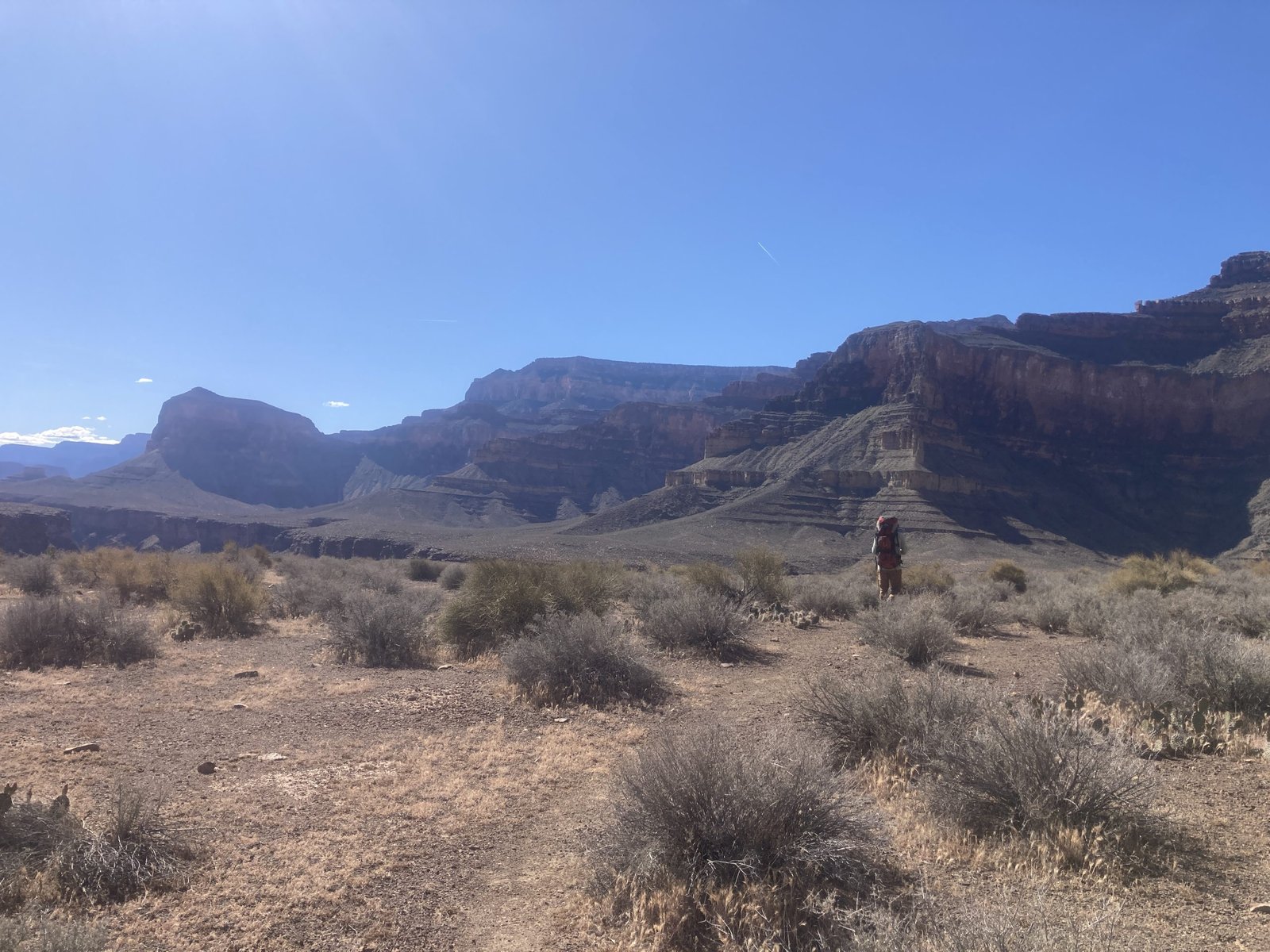
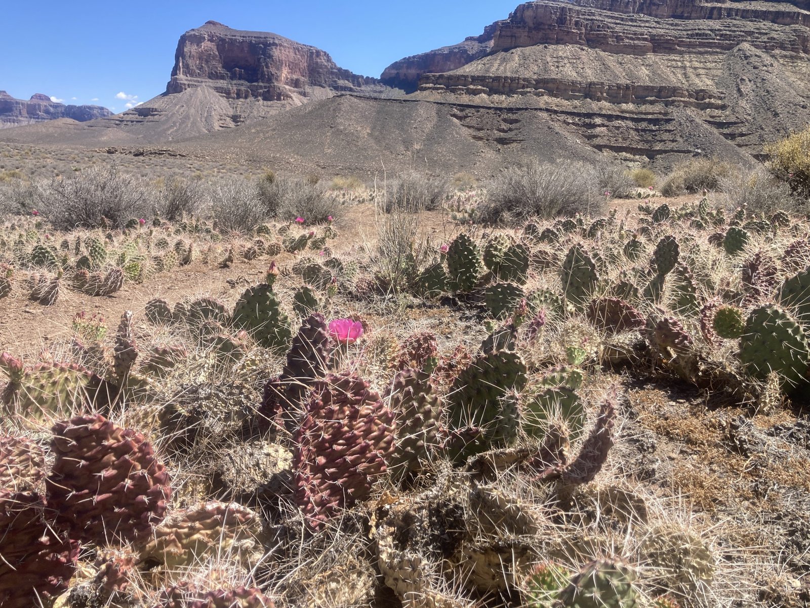
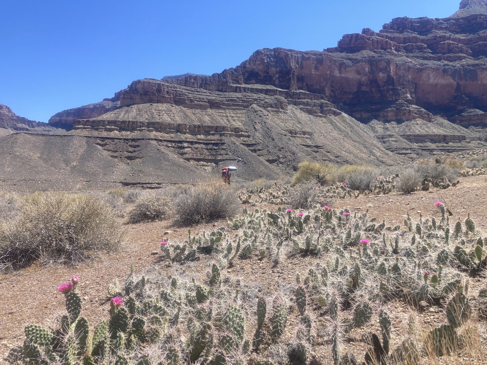
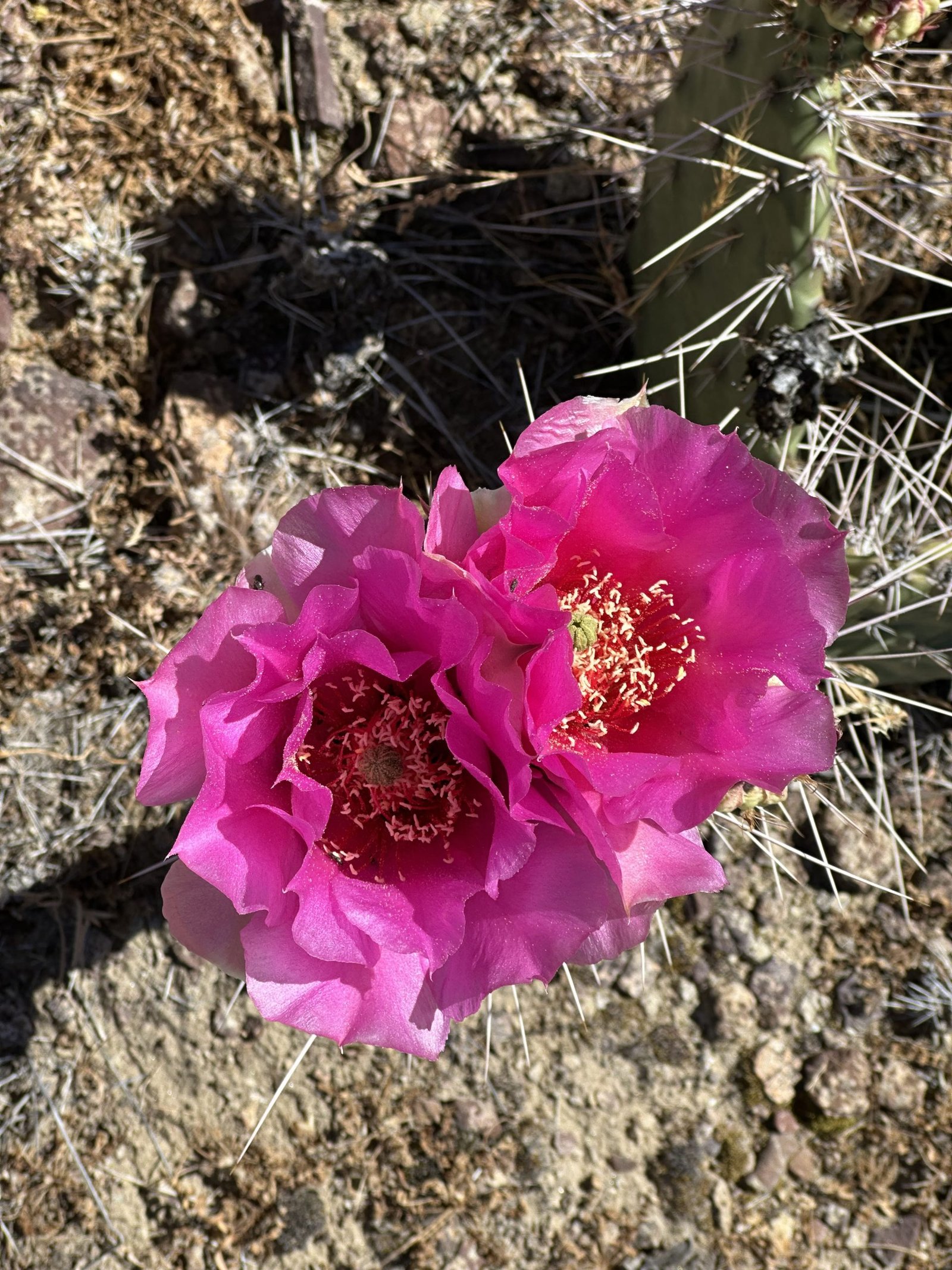
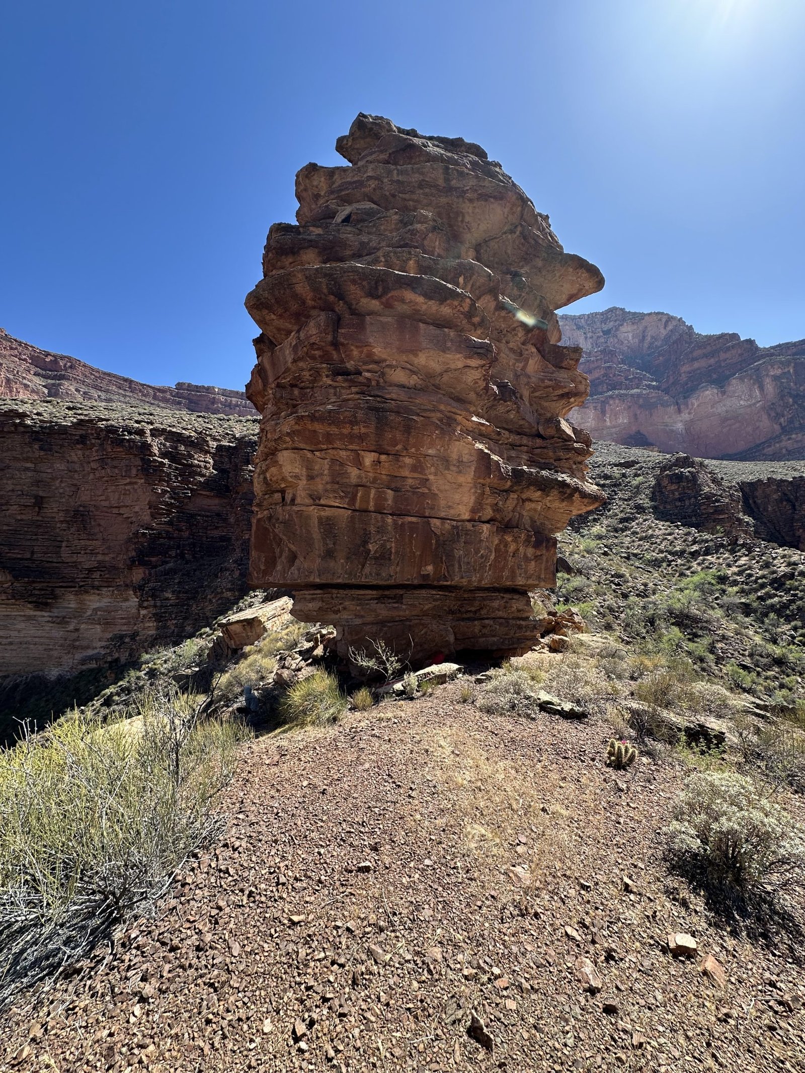
The cool morning clouds lingered until mid-morning when they began to break up. That was about the time we needed to take a break. Along the way out of the canyon to the Tonto “flats”, we marveled at the flowers in bloom.


tiny hiker BIG TONTO
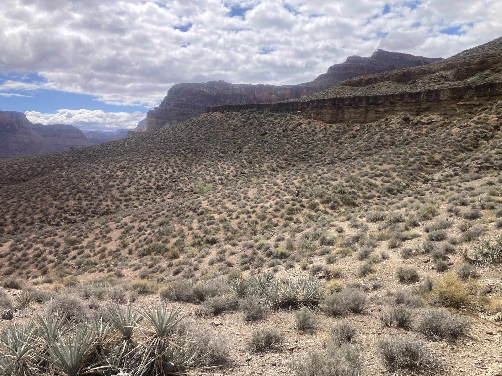
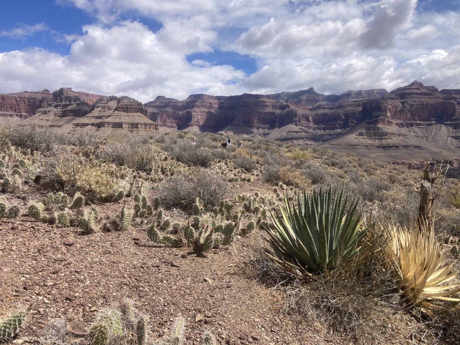
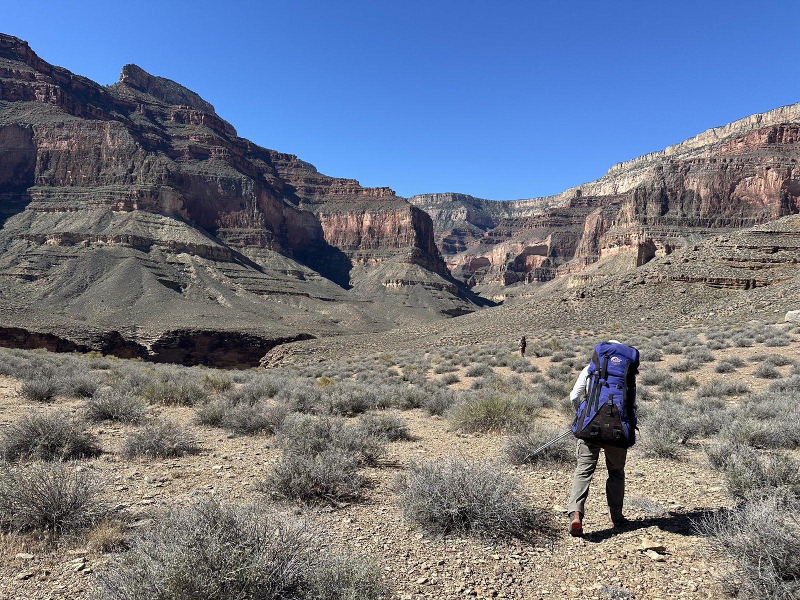
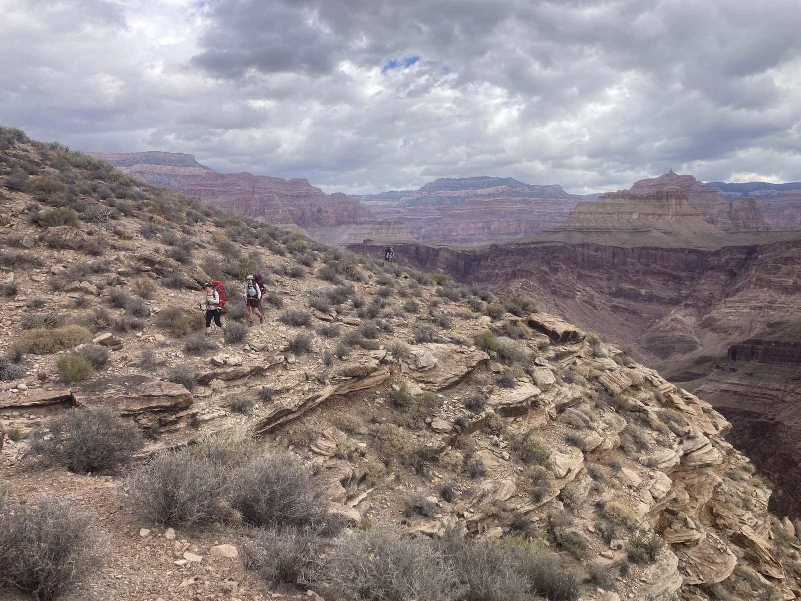
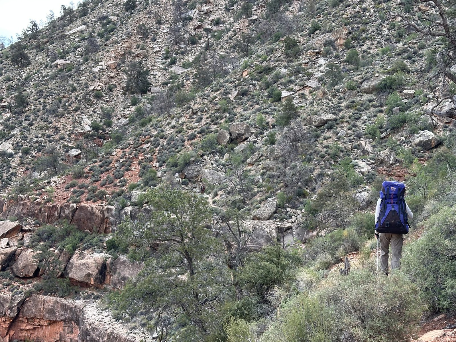
We made our way through the side canyons of Emerald and Quartz. While out on the Tonto, we came across some other hikers going the other way.
“Joey Coconato!” I exclaimed. I watch his YouTube hiking videos. I support his Patreon account. I just think he’s the real deal. So honest, friendly, and chill. We’ve done some of the hikes I saw on his channel. I’m sad I didn’t get a picture!
What we did get was water reports. Turns out, if you look hard enough, you can find some pothole water and maybe small trickles. Given the previous couple hours of rain, it provided some water in those potholes. Just hoped it would last long enough. We decided to go back to plan A – our full hike to Boucher.
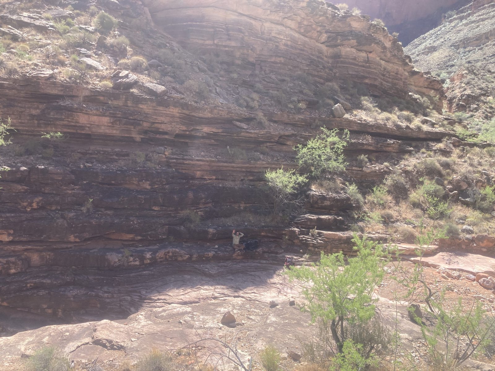
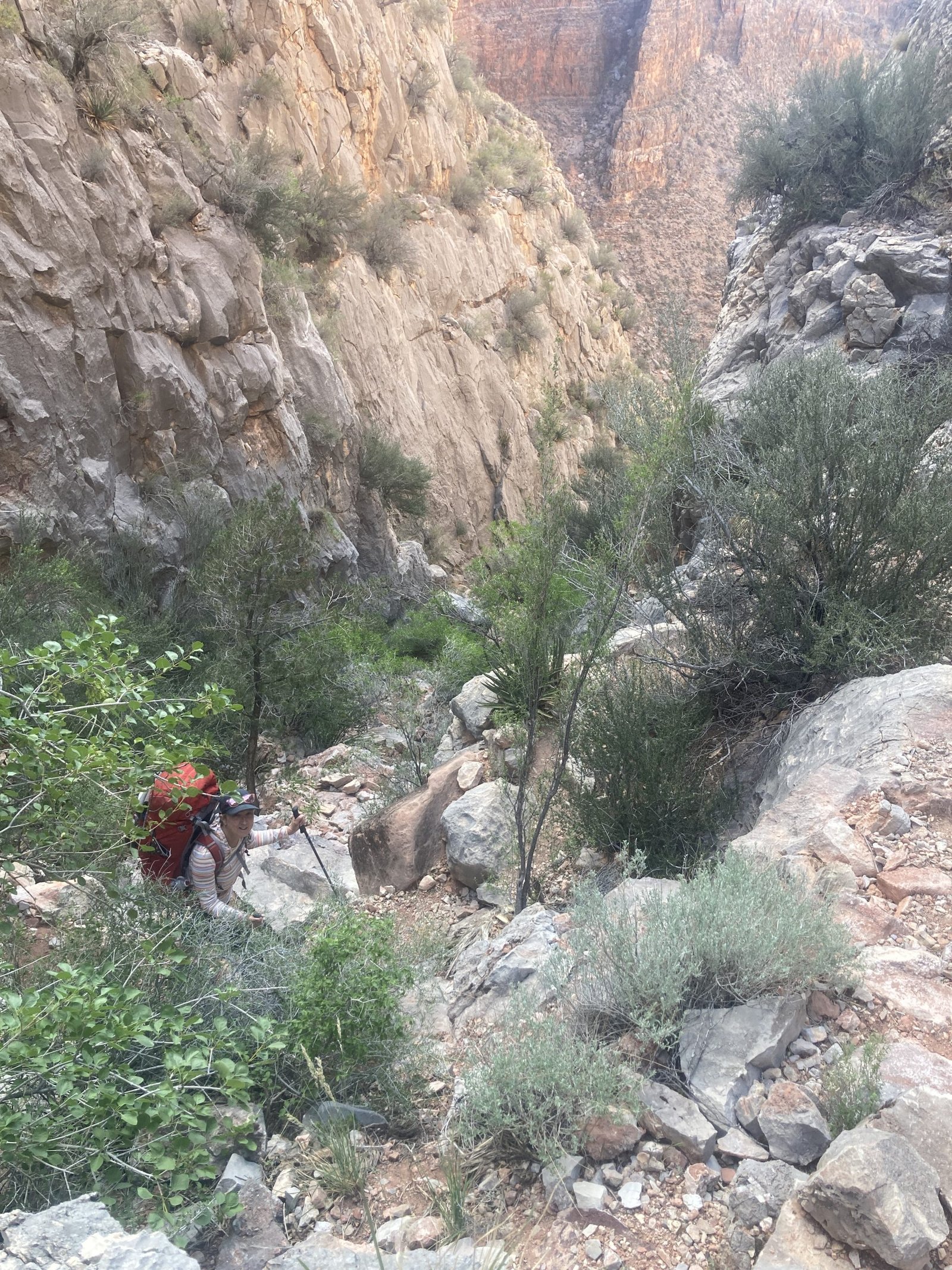
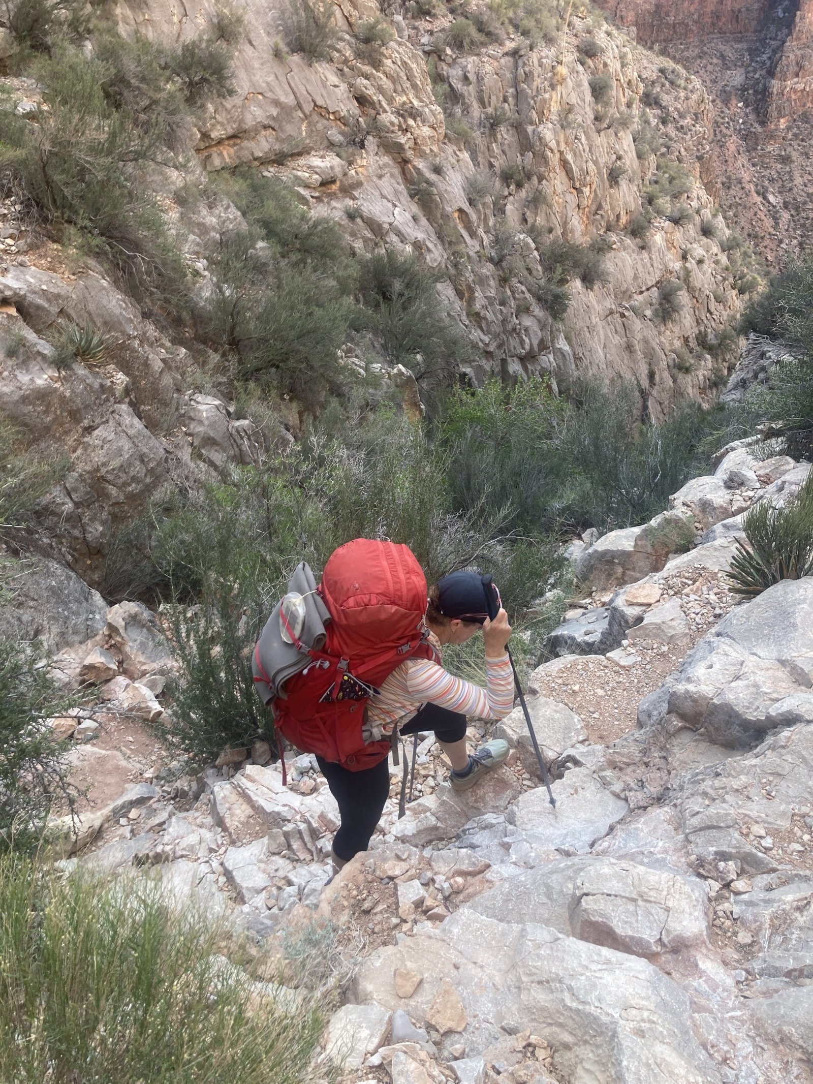
After gushing over a celebrity hiker, we pressed on to Ruby. While Serpentine had some tougher, rougher spots, Ruby was even worse! It just seemed to be a rugged canyon and made us work for it.
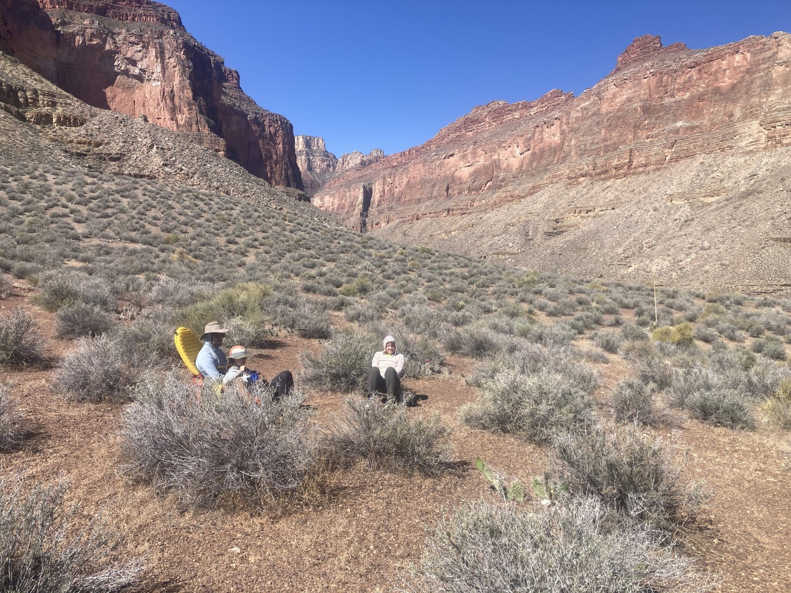
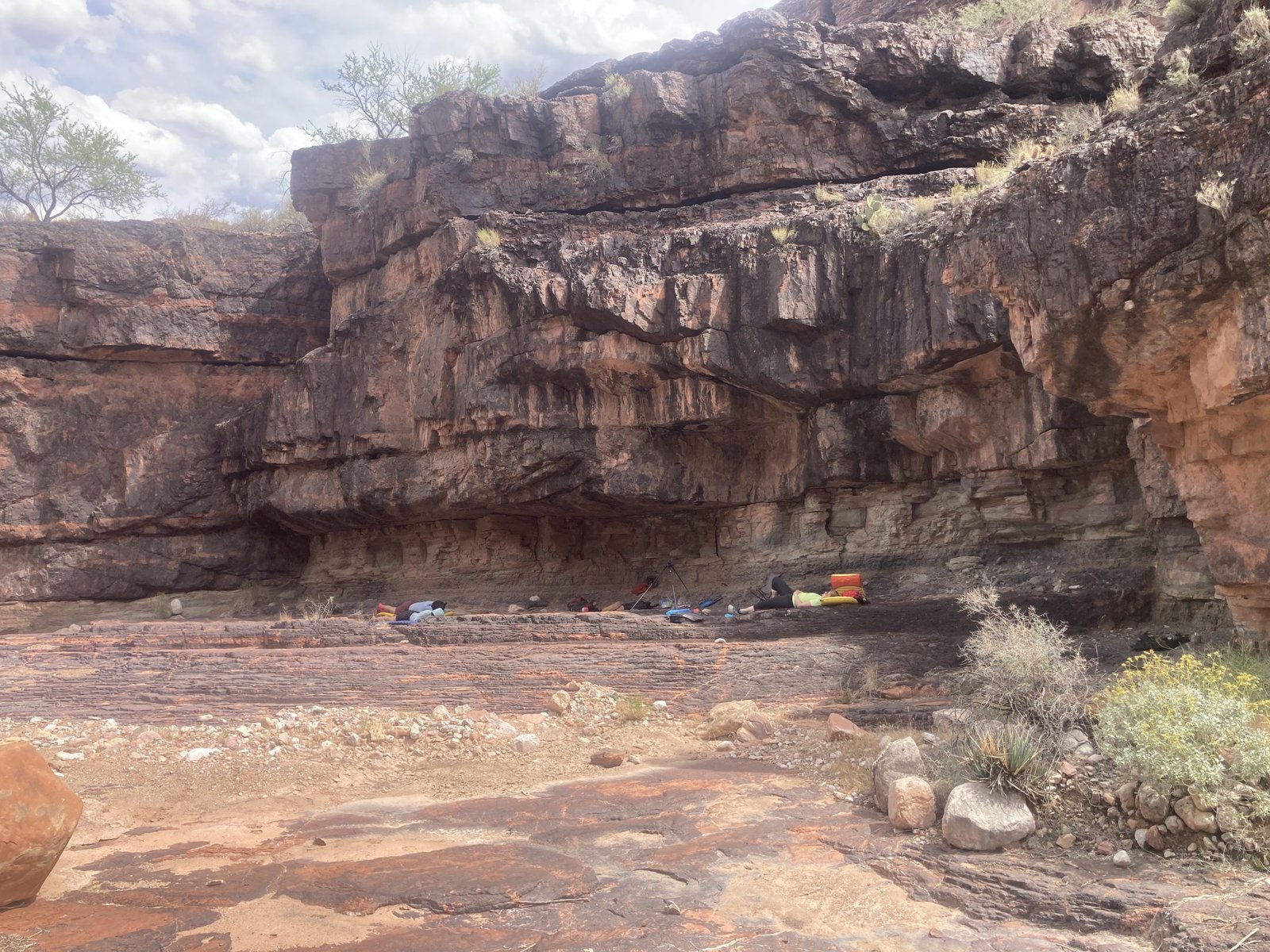
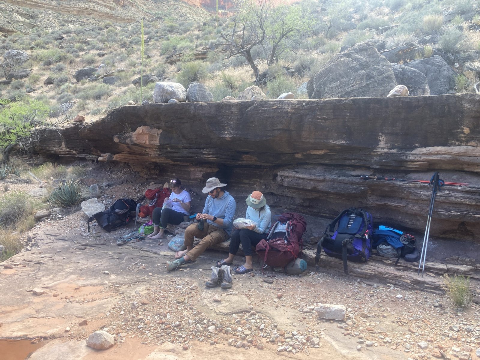
In the early afternoon, we finally took a break for a late lunch. We found the shade overhang that others had talked about. With the sun now out most of the time, the shade was very welcome!
We also found that the rain had provided some water to the potholes. Maybe enough? But maybe not. We were glad we had carried water. There were a couple very small places to pitch tents so after our late lunch, we decided to press on out of Ruby and back to the Tonto plateau to find a campsite.


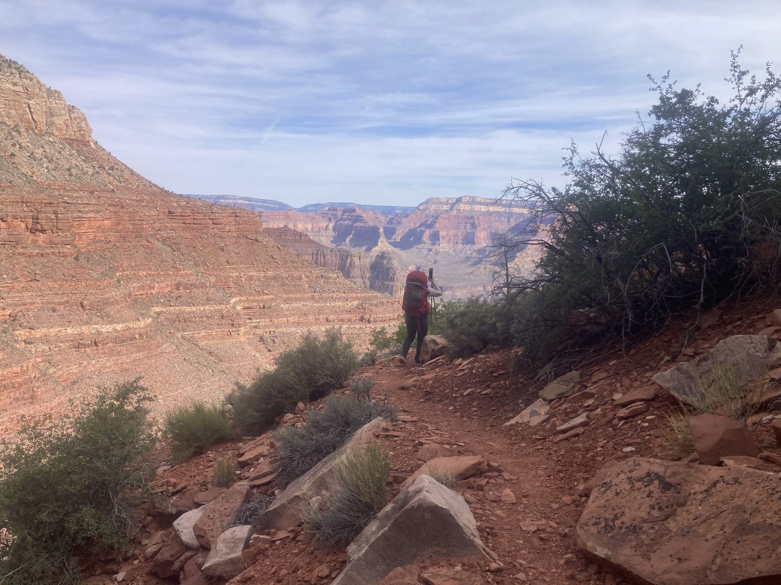
We headed out the east side of Ruby. It was a long, even more rugged, steep drop/high consequence section. It felt painful in a number of ways. Even as we turned the corner onto the Tonto plateau, the steep dropoff continued.
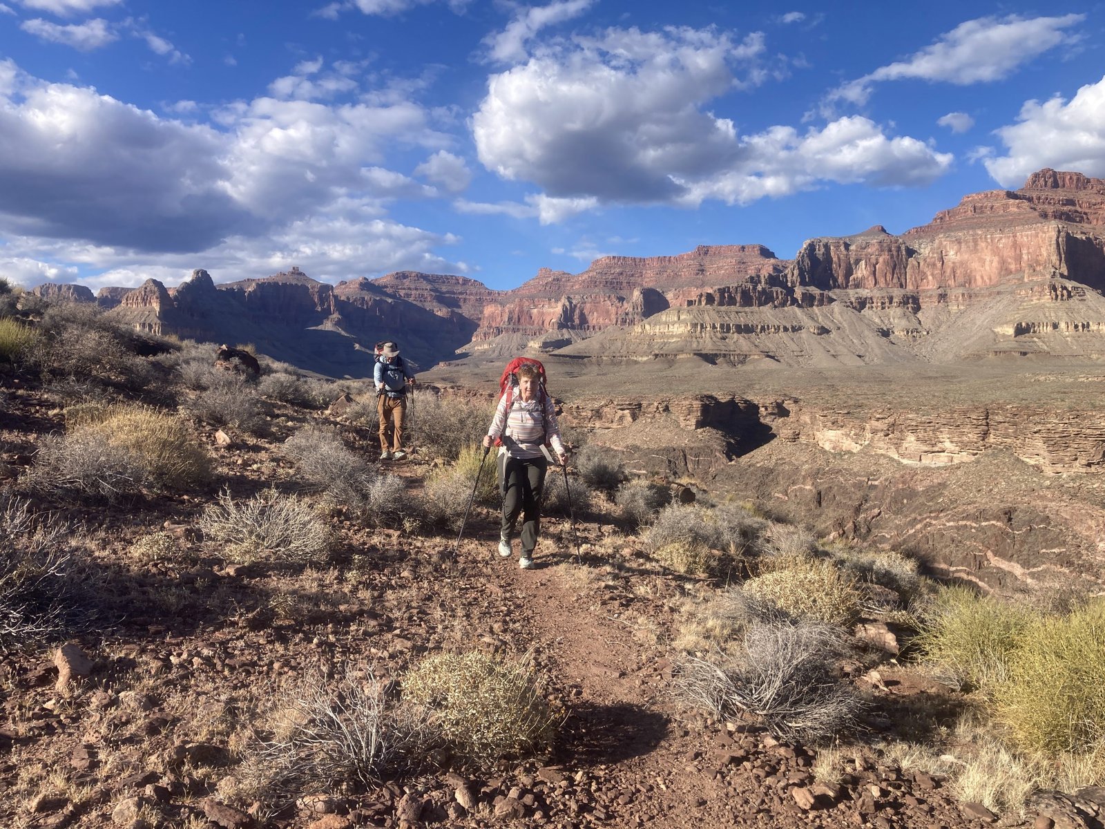
But then, the trail let up. It became everything the Tonto trail is mostly known for. Flat, somewhat rolling, and well-defined. It was a beautiful afternoon!
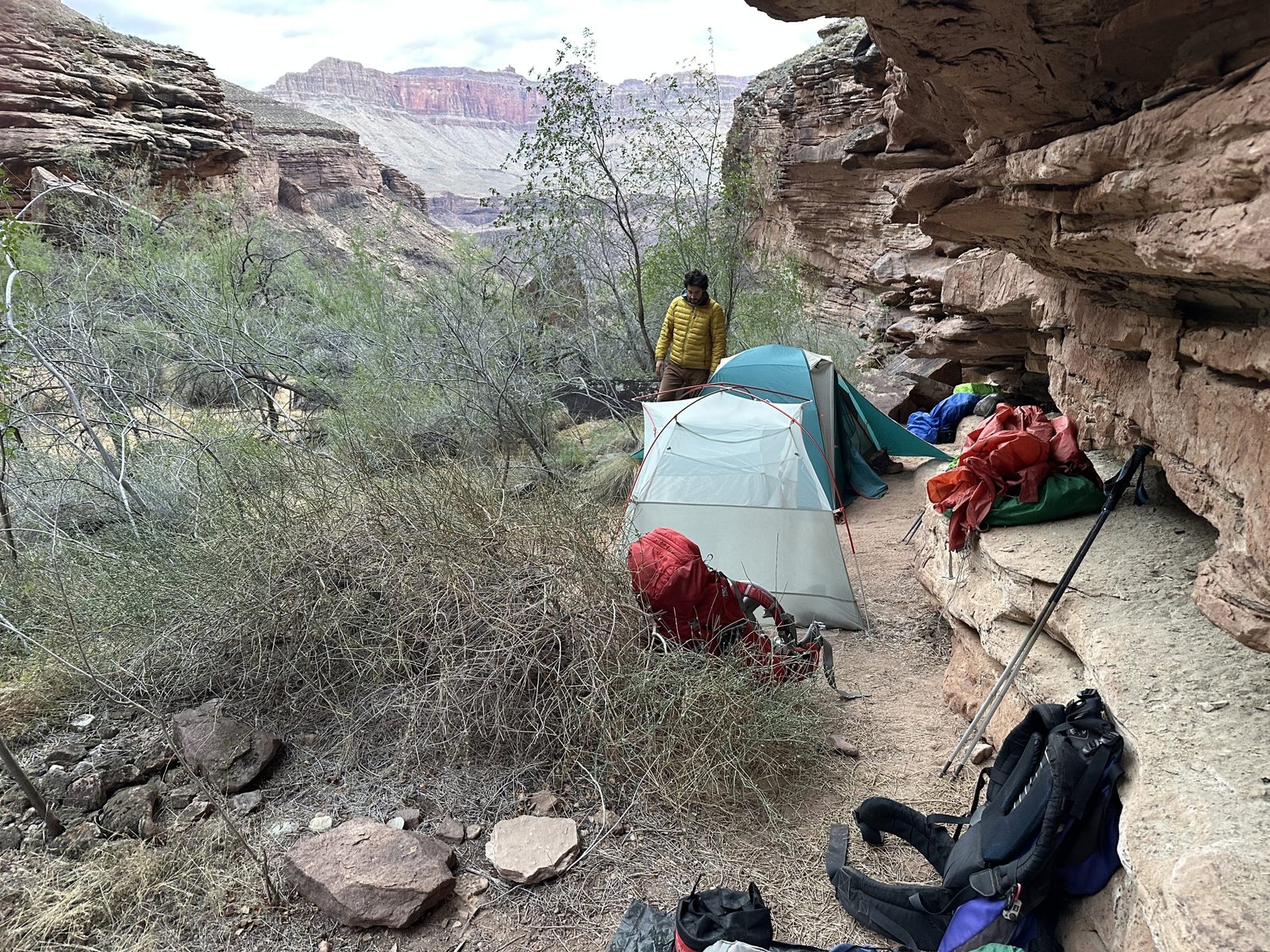
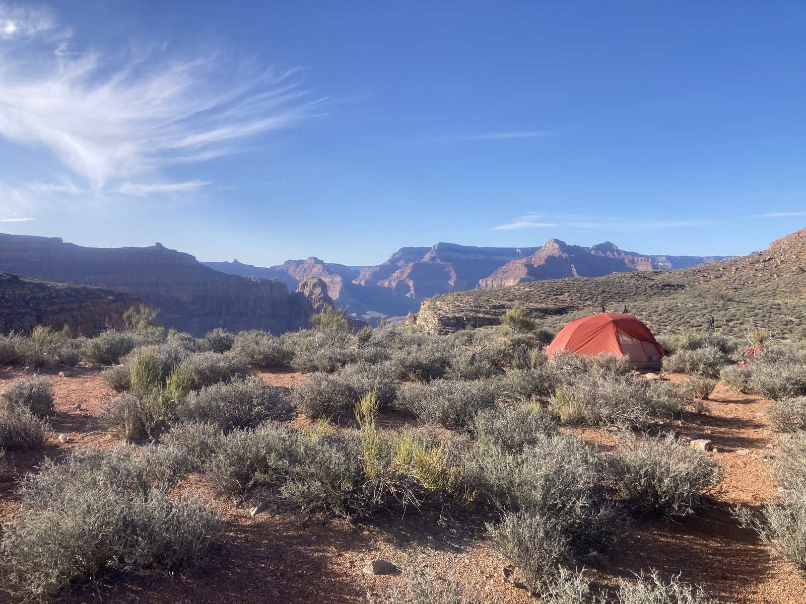
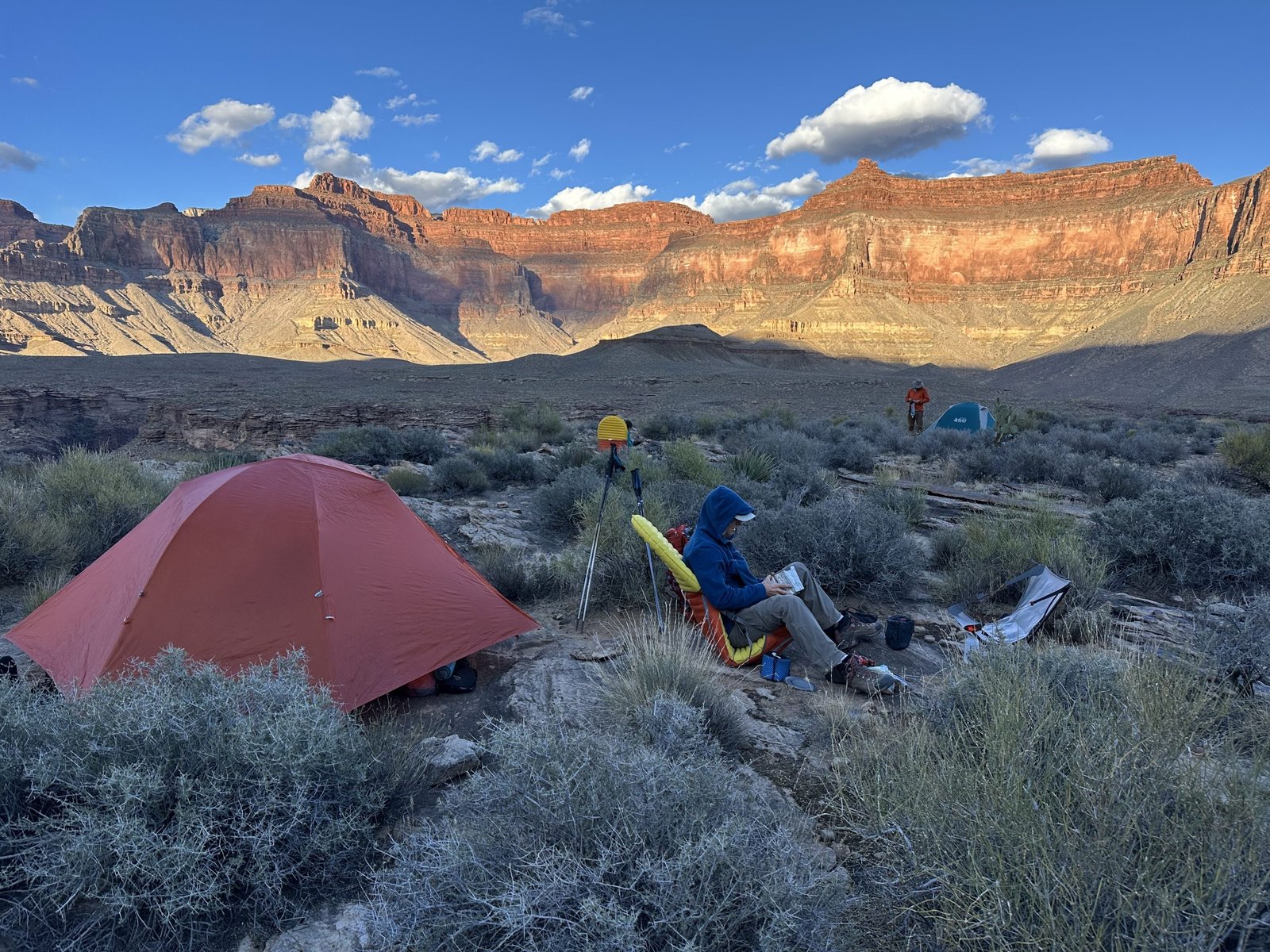
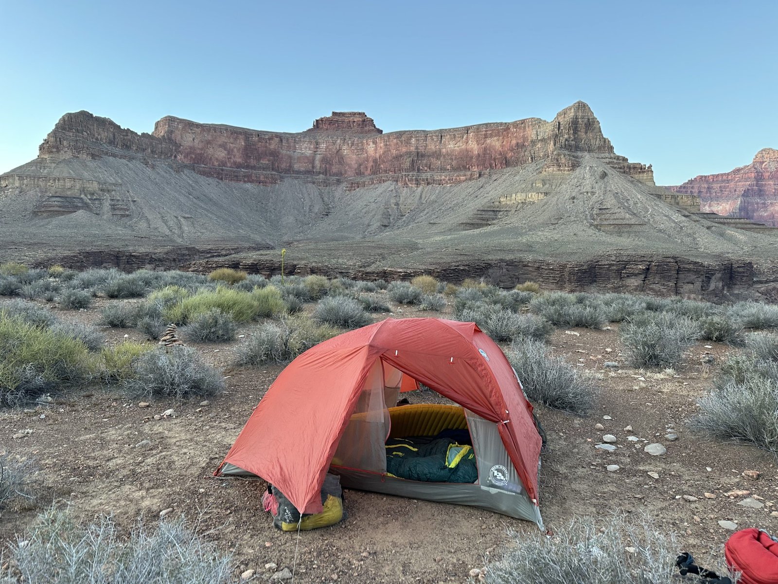
The sun was getting low so we looked for a spot to set up camp. There was nothing by the trail itself so Lenny walked to the top of a minor hill and found it to be decently large, flat, and with enough clear areas that it was perfect!
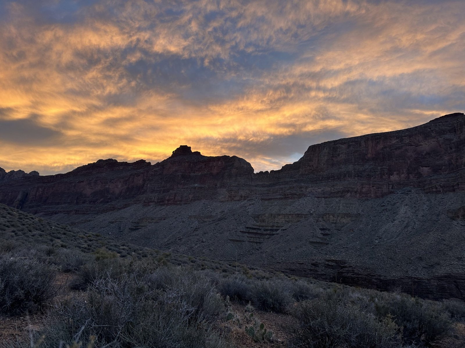
The view was fantastic! We plopped our gear down and each did the work to unpack, setup, and get dinner going. With minimal clouds, the sunset was beautiful. We all sat together for dinner, enjoying each other’s company and sharing in the stories.


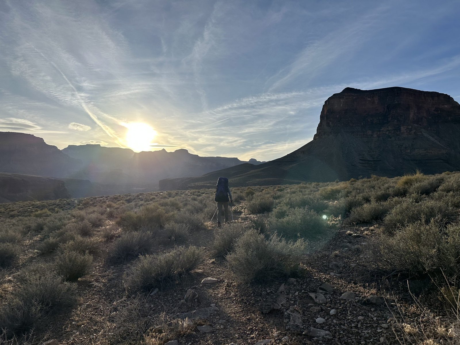
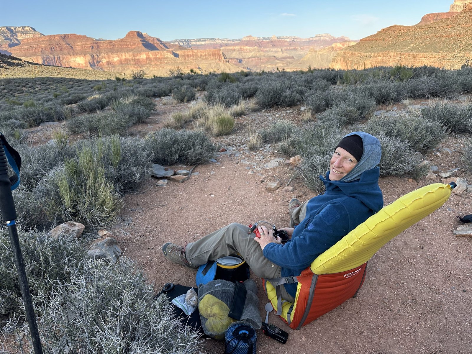
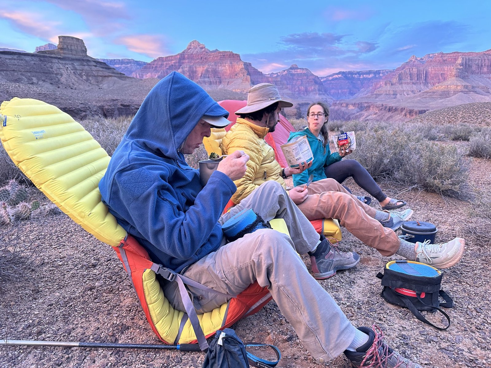
Day Five - April 15, 2026
It’s another beautiful morning. Not a cloud in the sky. As was our usual routine, we all were up at 6am. Lenny and I packed up and headed out. We try to get a mile or two in before breakfast. Reid and Hilary like to have breakfast and then head out. We always would meet down the trail about the time we were done with our breakfast.
Jade canyon is our next stop for breakfast. It’s a small easy canyon with a nice bench at the head. So, we left our surprise find of a campsite on the hill and meandered down the trail.
Since we left Ruby, the trail became so much easier. It just flowed. Even going through the side canyons was easy and fast. Good thing since we have about 8.5 miles to cover today.


Jasper canyon was next. It was a bit bigger but still very easy to get through.
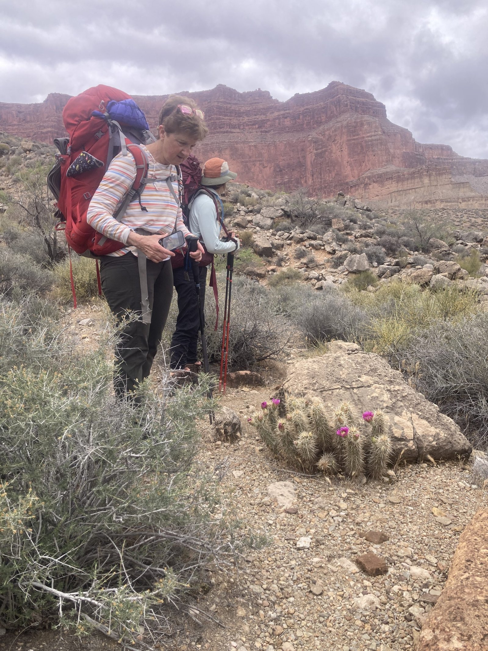
And then we came upon Turquoise canyon. There was something about it that I think seemed so beautiful. We took a break on the nice ledges. The rain had refilled some of the pothole water but we went in search of fresh water. We didn’t want to deprive the little tadpoles of their yummy brown water. We took a lunch break and enjoyed Turquoise canyon. Reid took a stroll up the canyon and reported back that there was running water but, we didn’t need any at that point. Next stop is Sapphire.


Before we left on our trip, I read a Facebook post from “Brad” who said they were doing the Gems route but in the reverse direction from the way we were doing it. In my calculations, we should meet up with them just outside of Sapphire canyon. And, right on time, I could see a group of four in the distance.
They were hiking toward us. I was sure it must be them. Sure enough, we met up and the first thing they asked was, “Are you Terri?”
I replied with, “Which one of you is Brad?”
We all had some laughs and shared water availability. They said that with every person they came across, they would ask if they were Terri. Even coming across “Ninja man.” He was a solo hiker, dressed in black with a face covering, carrying two dry bags that had his hiking necessities in it. He was hiking the same direction we were and he was a day ahead. So, we never did see him. When they asked him if he was Terri, he replied, “No? Are you?” Strange…
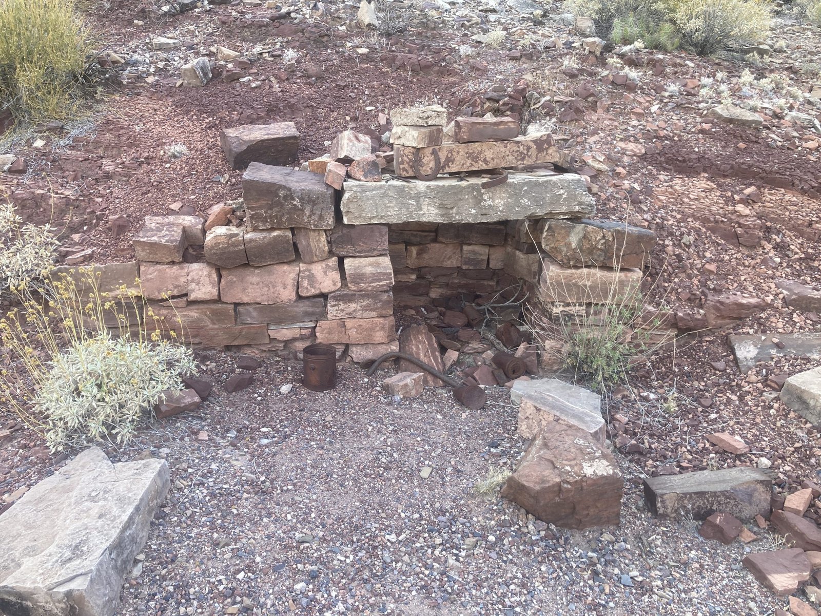
We said our goodbyes and headed into Sapphire canyon. As we worked our way back, we came across a Native American midden. Some think it’s an agave pit but, I don’t. There are thousands of baseball-size rocks heaped in a pile.
According to Wikipedia, A midden is an old dump for domestic waste. It may consist of animal bones, human excrement, botanical material, shells, potsherds, lithics , and other artifacts and biofacts associated with past human occupation. Was it the best place for lunch? I don’t know but I was hungry.
This pit sat just outside a nice shady ledge. We decided to make our lunch there. Reid and Hilary were a ways behind us somewhere.
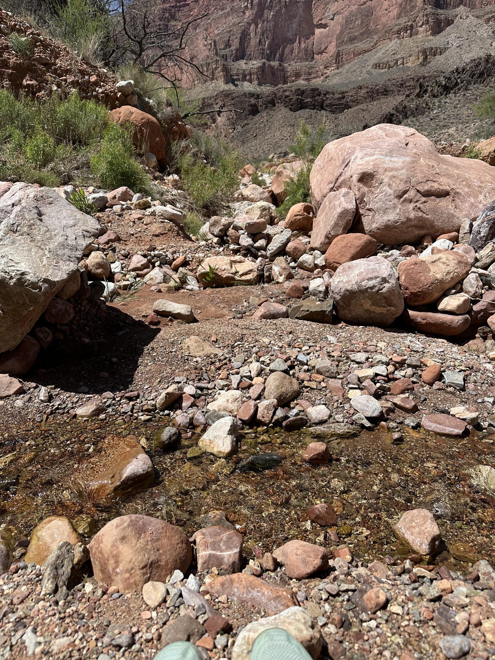
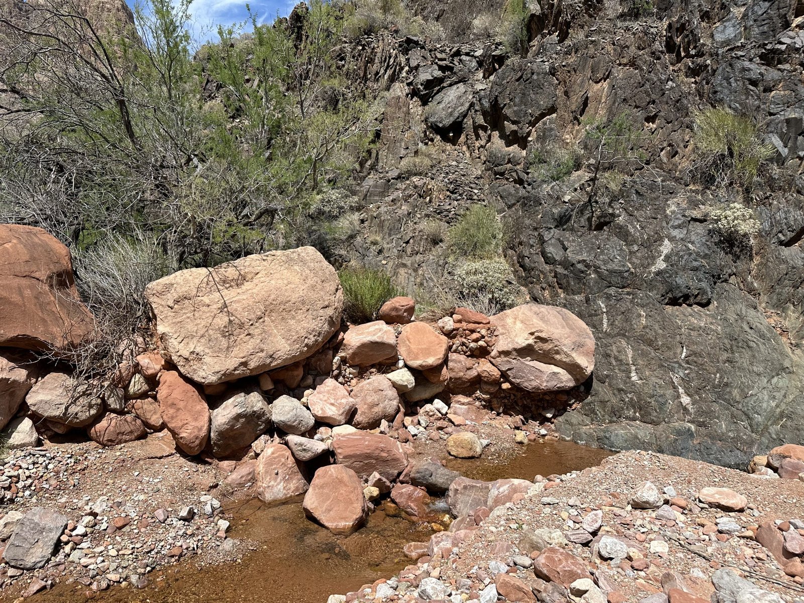
We reached the back of Sapphire canyon and, we saw a small trickle flowing across the trail. We stopped and unloaded. Lenny went up to see if where it was coming from and found a big enough pool to get water from!
We were going to camp there. In fact, we ate dinner there too. But, then we decided to press on and camp out on the Tonto. We’d be that much closer to Slate for the next day.


Day Six - April 16, 2026
Another morning, another gorgeous day. We packed up to head to Slate canyon. It’s a very large canyon and the biggest one that sits before the popular Boucher canyon, our final canyon. Though we had to pass through Agate canyon before Slate and Topaz before Boucher–two minor canyons.
Although its 5+ miles from the head of Sapphire to the head of Slate, our evening push the night before reduced that to only about 3. It’s still a ways and you do have to go through one more smaller side canyon–Agate.
(Per AI) Many of the “gem” canyons in the Grand Canyon were named by early explorers and survey teams in the late 1800s, especially those led by John Wesley Powell. Rather than reflecting actual gemstone deposits, these names were chosen for their vivid, descriptive quality and as part of a broader naming pattern used to organize the many side canyons along the river.
The names—like Ruby, Sapphire, and Turquoise Canyon—were likely inspired by the rich colors seen in the canyon walls, created by different minerals in the rock layers. These colorful impressions reminded explorers of gemstones, making the names both memorable and visually fitting, even though the area isn’t known for valuable gem resources.
Agate canyon was nice. It has nice sandstone benches to rest on. It obviously has water somewhere, as we saw many green trees and bushes. But, no water was to be found this time.
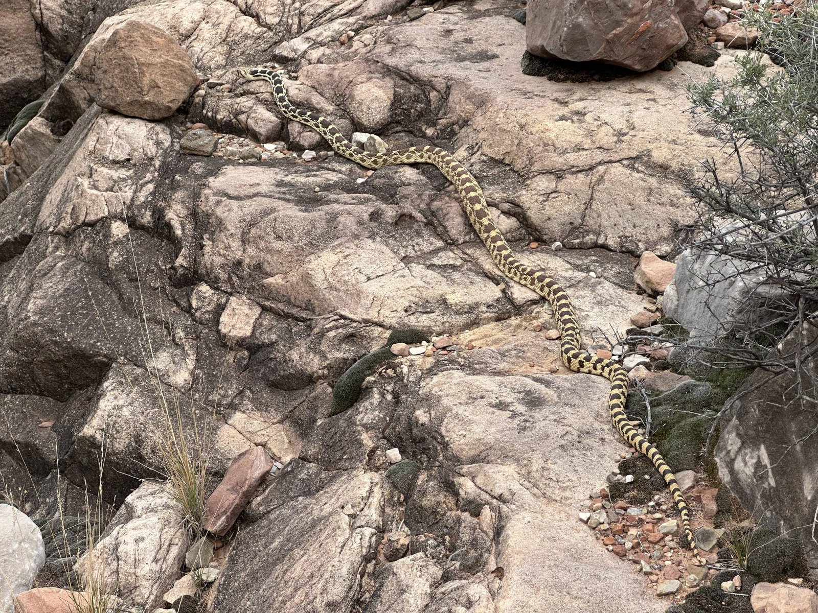
Just one more look back at Agate canyon. Notice the Native American midden in the upper right above the canyon floor. Oh, and while we were there we saw a nice big Gopher snake!
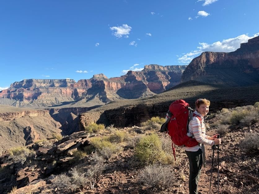
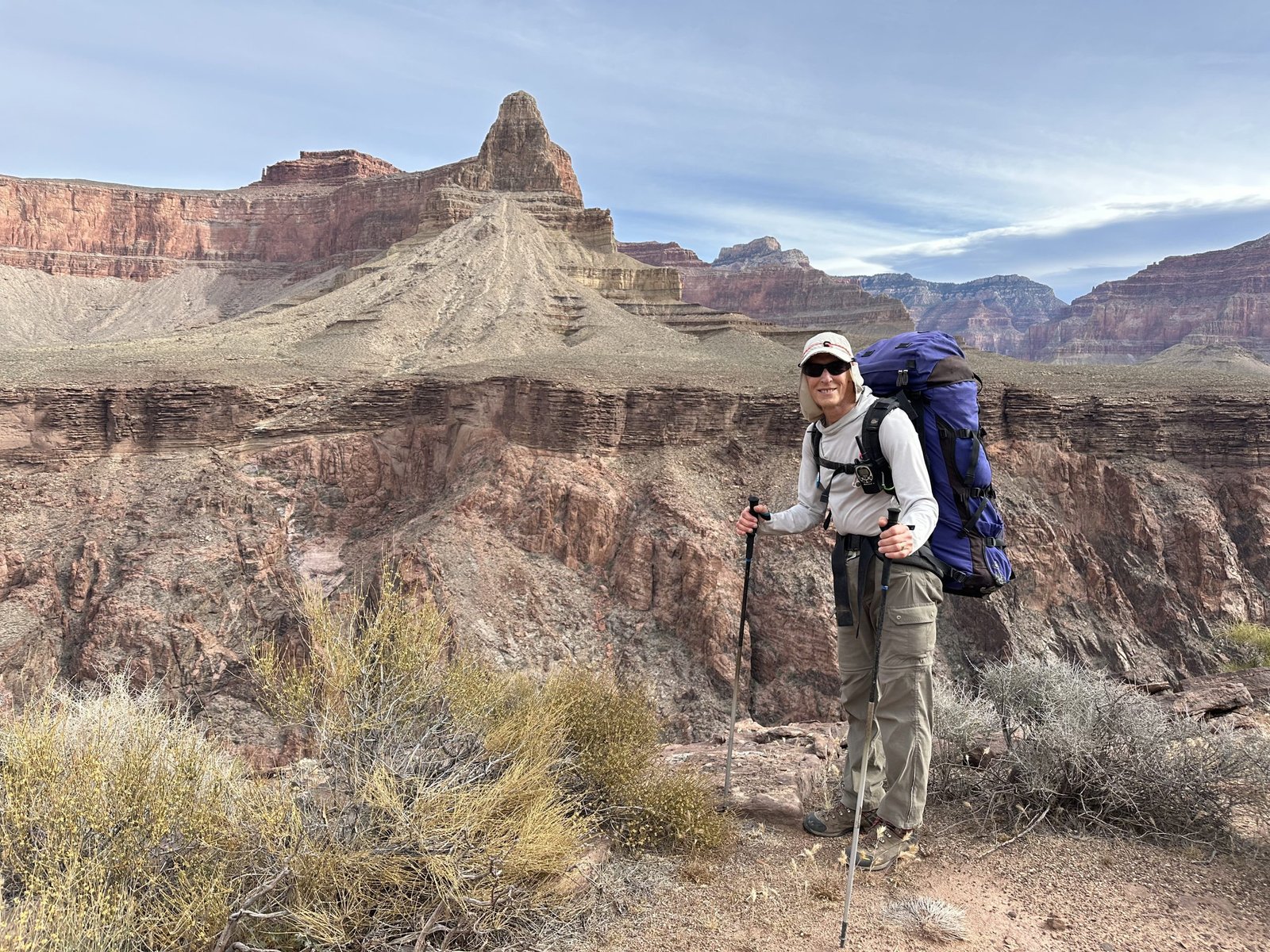
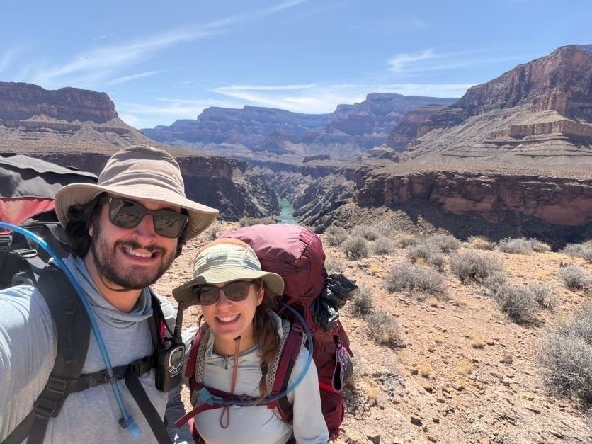
Here’s a nice picture of Lenny with the North Rim in the background. This was taken as we exited Agate canyon. And, then one of myself looking into the abyss carved by the Colorado River.
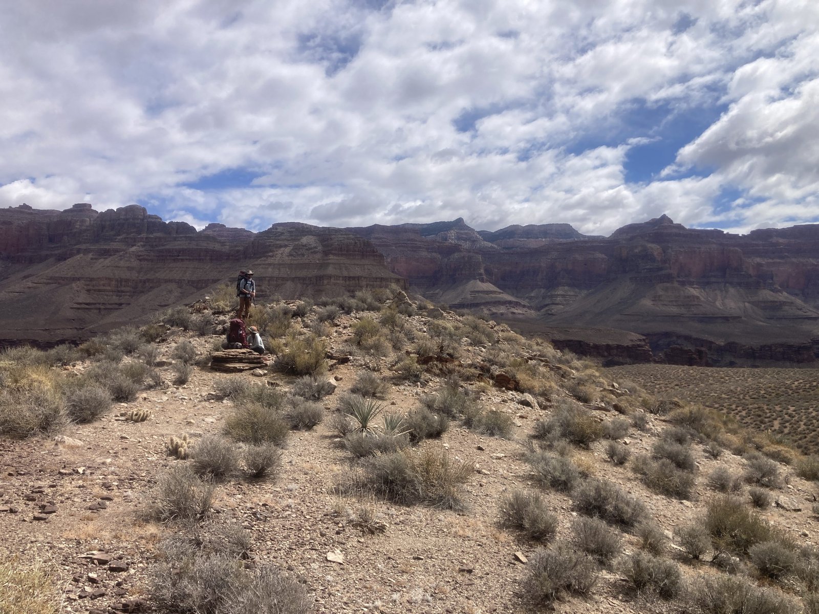
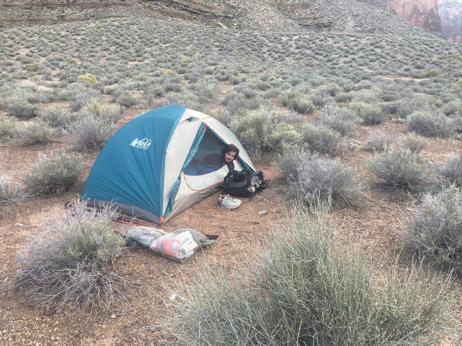
We reached the back of Slate canyon in the early afternoon. However, the sites were taken and gear was strewn about. No signs of life. We ate lunch on a big rock and took naps as well. I hiked quite a ways up the canyon looking for water. Lenny dropped his pack and continued on the Tonto trail to see where the route down into the canyon (and water) was. When he returned, we decided to push on (again) and camped a ways above the trail and location where we could drop in to the bottom.


Day Seven - April 17, 2026
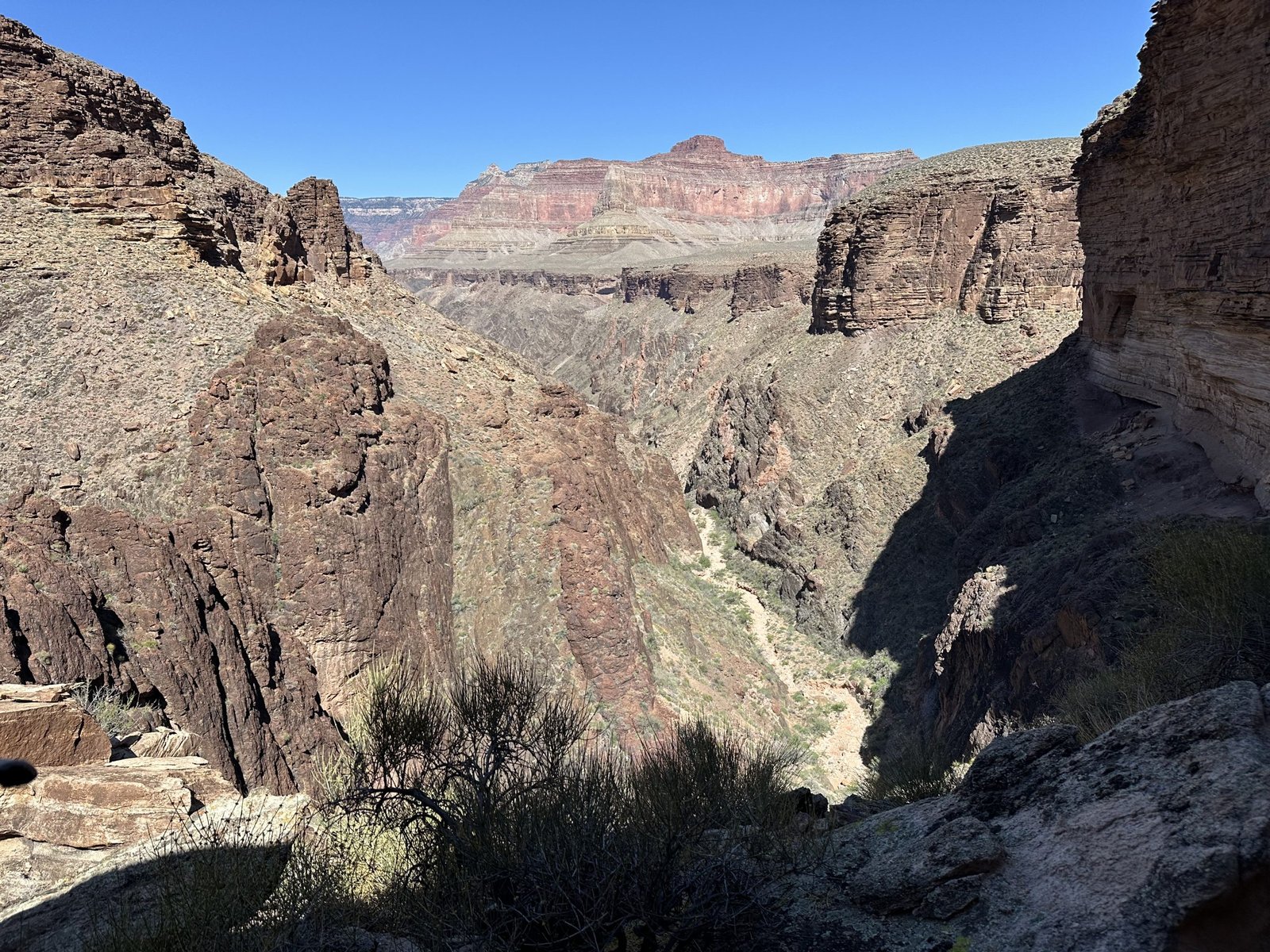
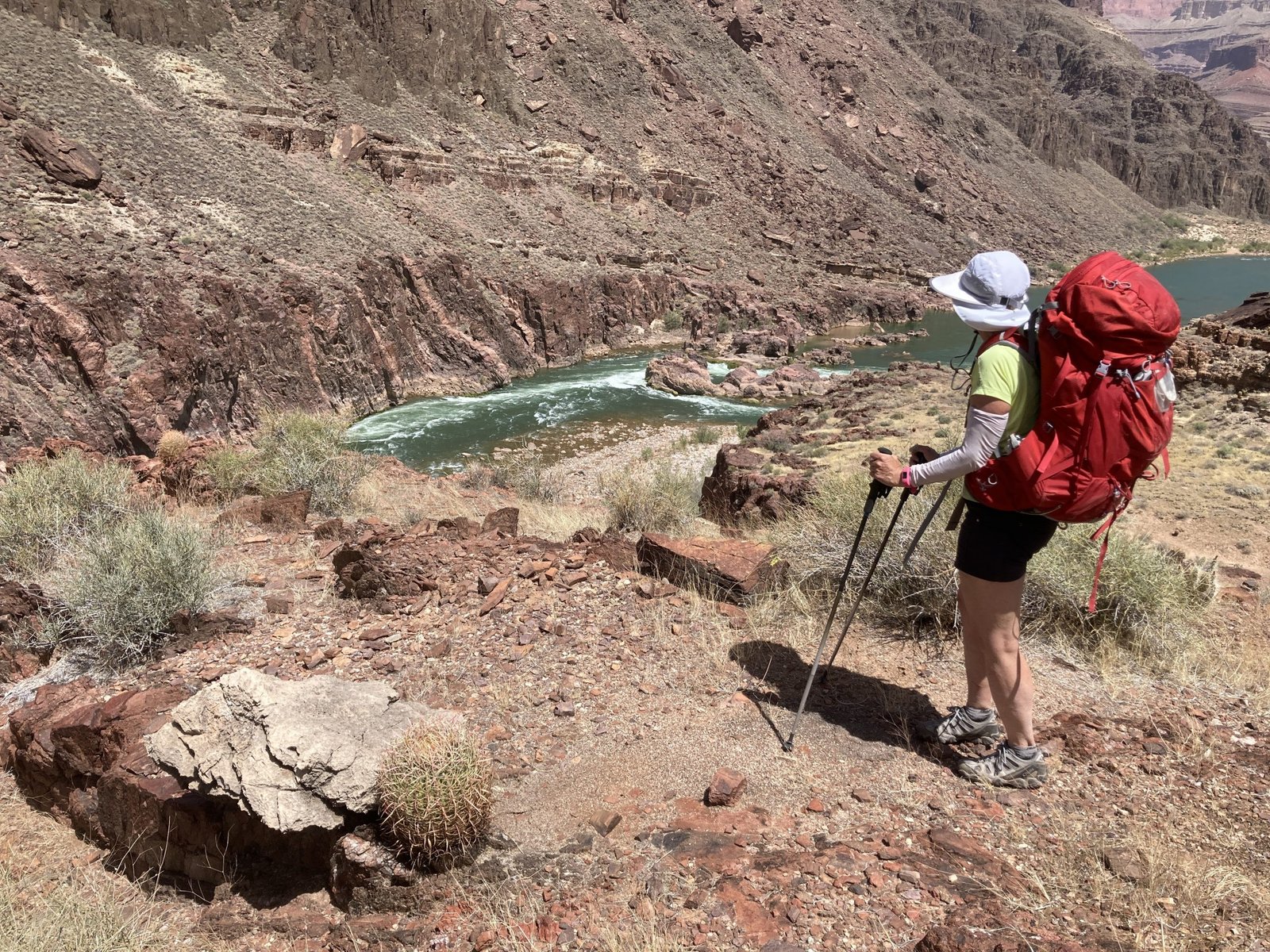
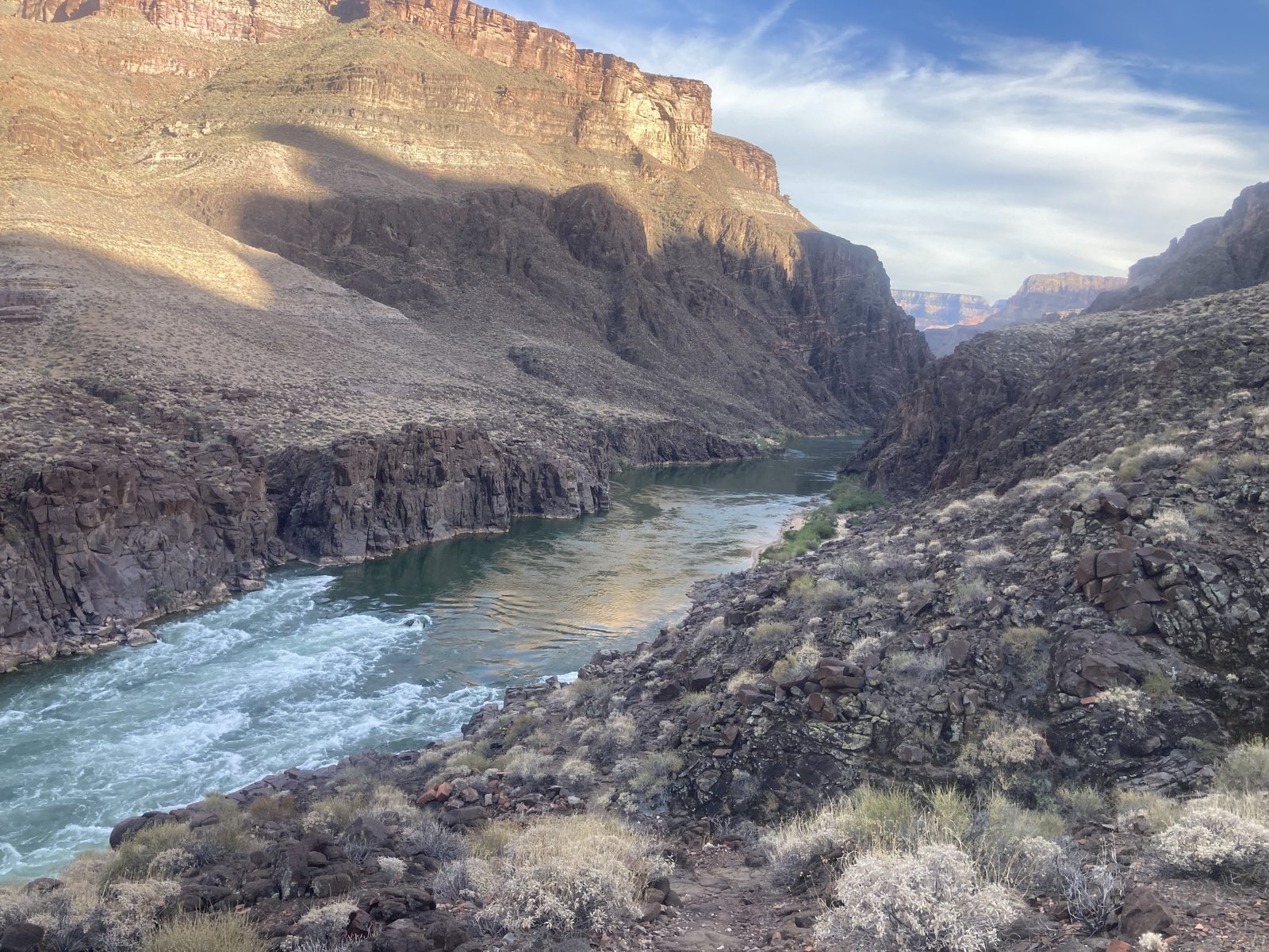
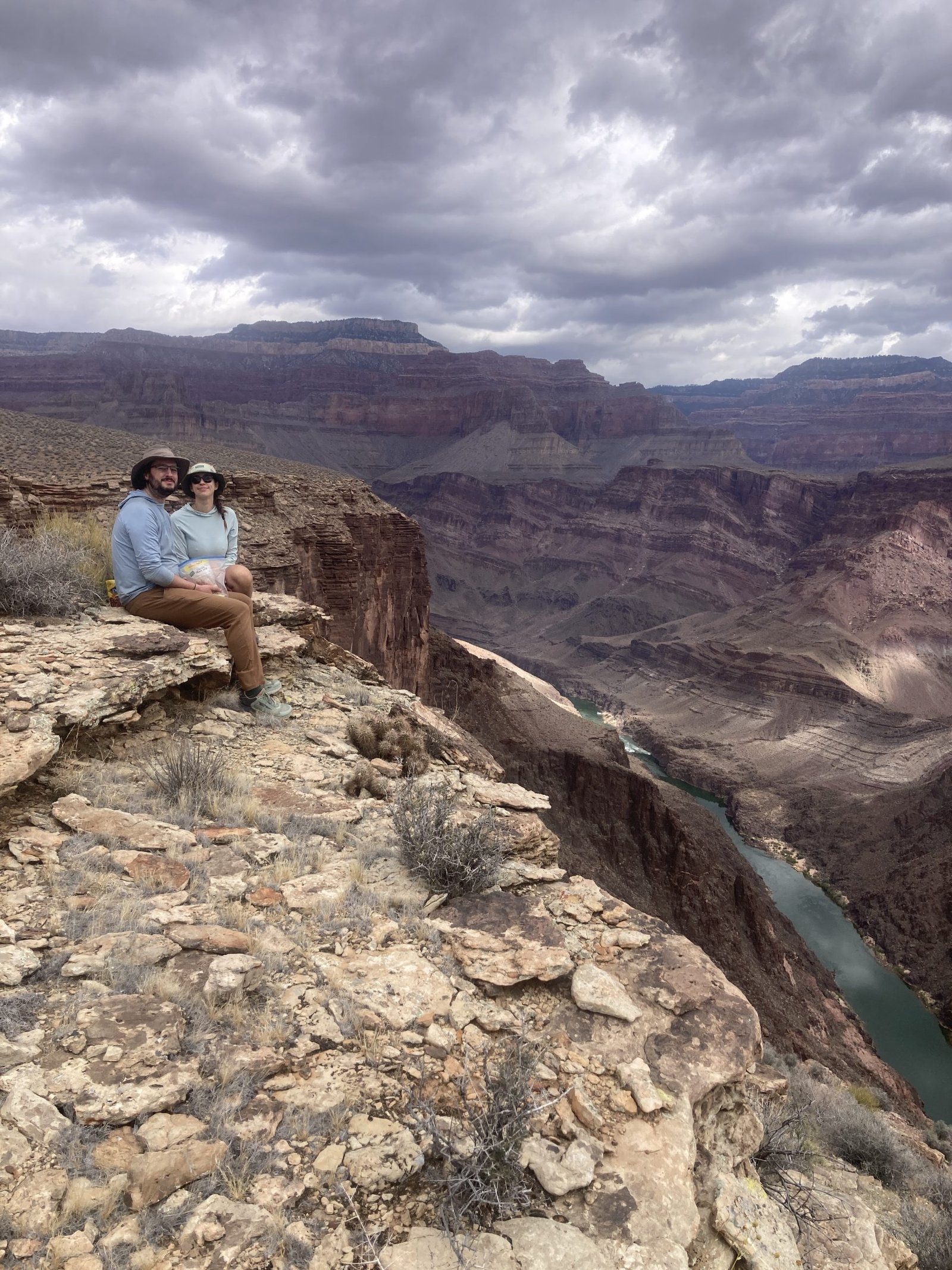
Today was our second planned day off. I wanted time to explore Slate canyon, hoping to get to the river to see Crystal rapids. In 2021, Lenny and I did a loop backpack called the Phantom Crystal loop. We camped at Crystal rapids and I always wondered about the canyon on the other side that was Slate.
We woke up to a gorgeous day. Not a cloud in the sky and moderate temperatures. After breakfast, we gathered our things for a day hike, including our water bladders and dromedaries to bring back water.
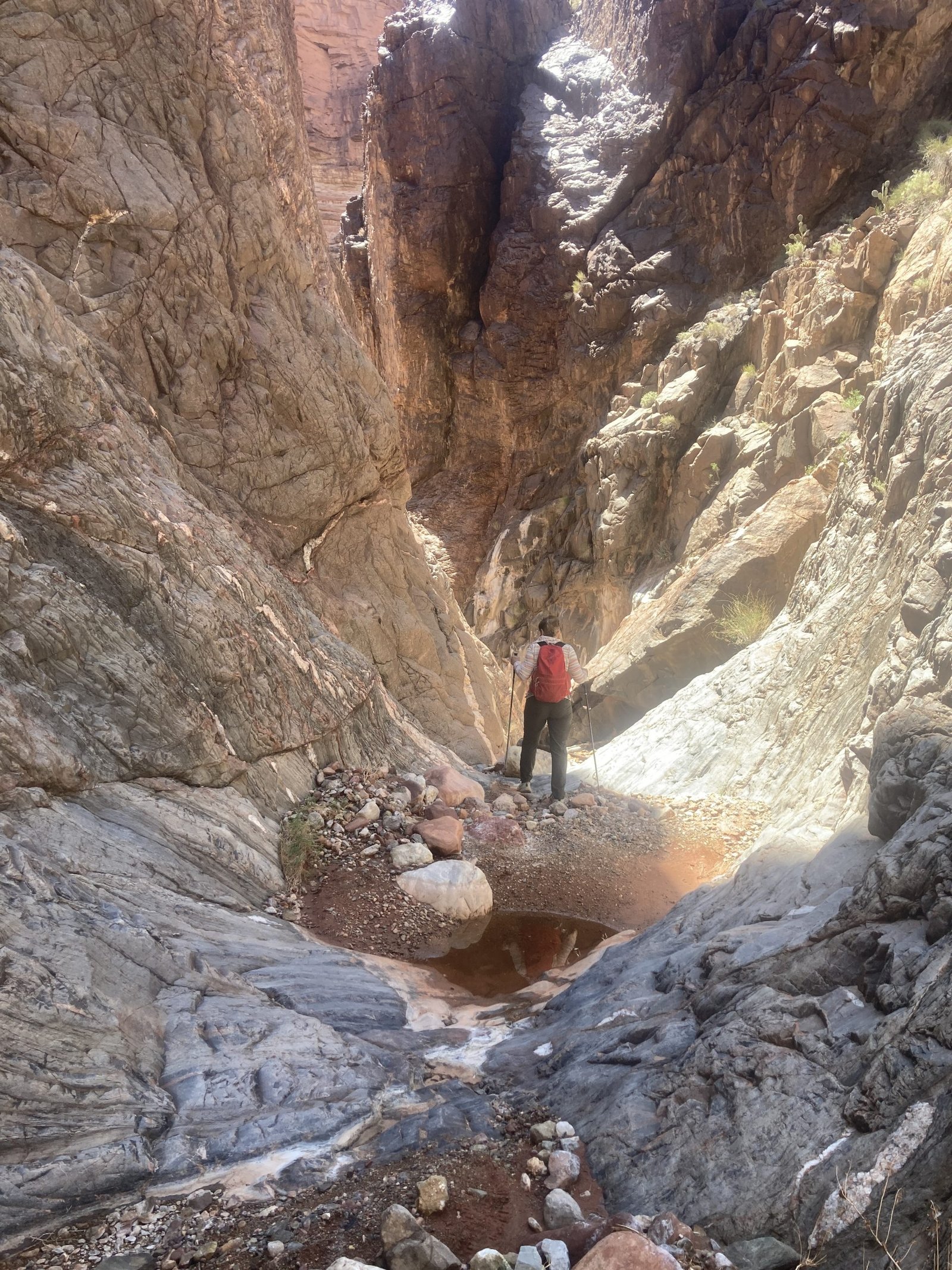
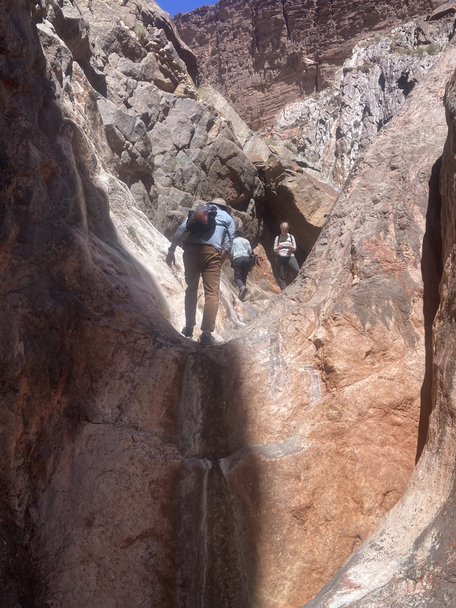
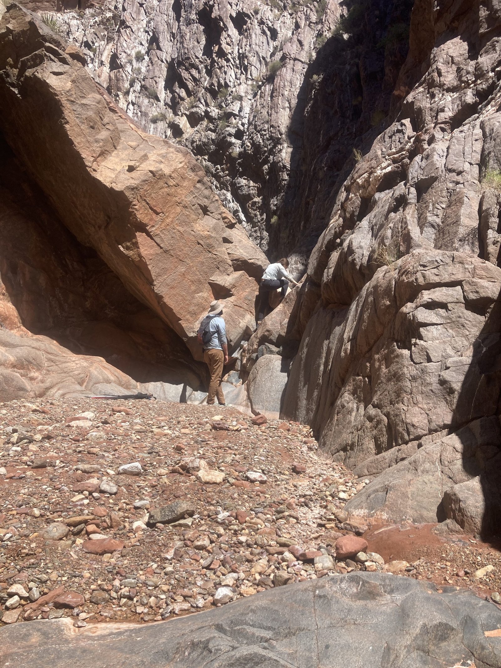
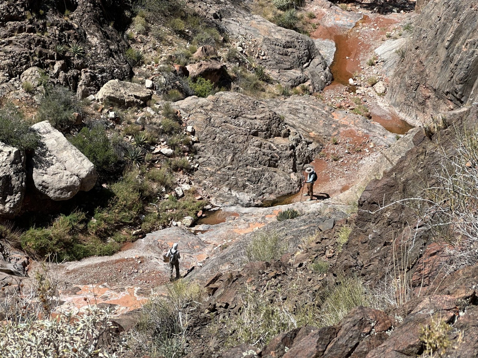
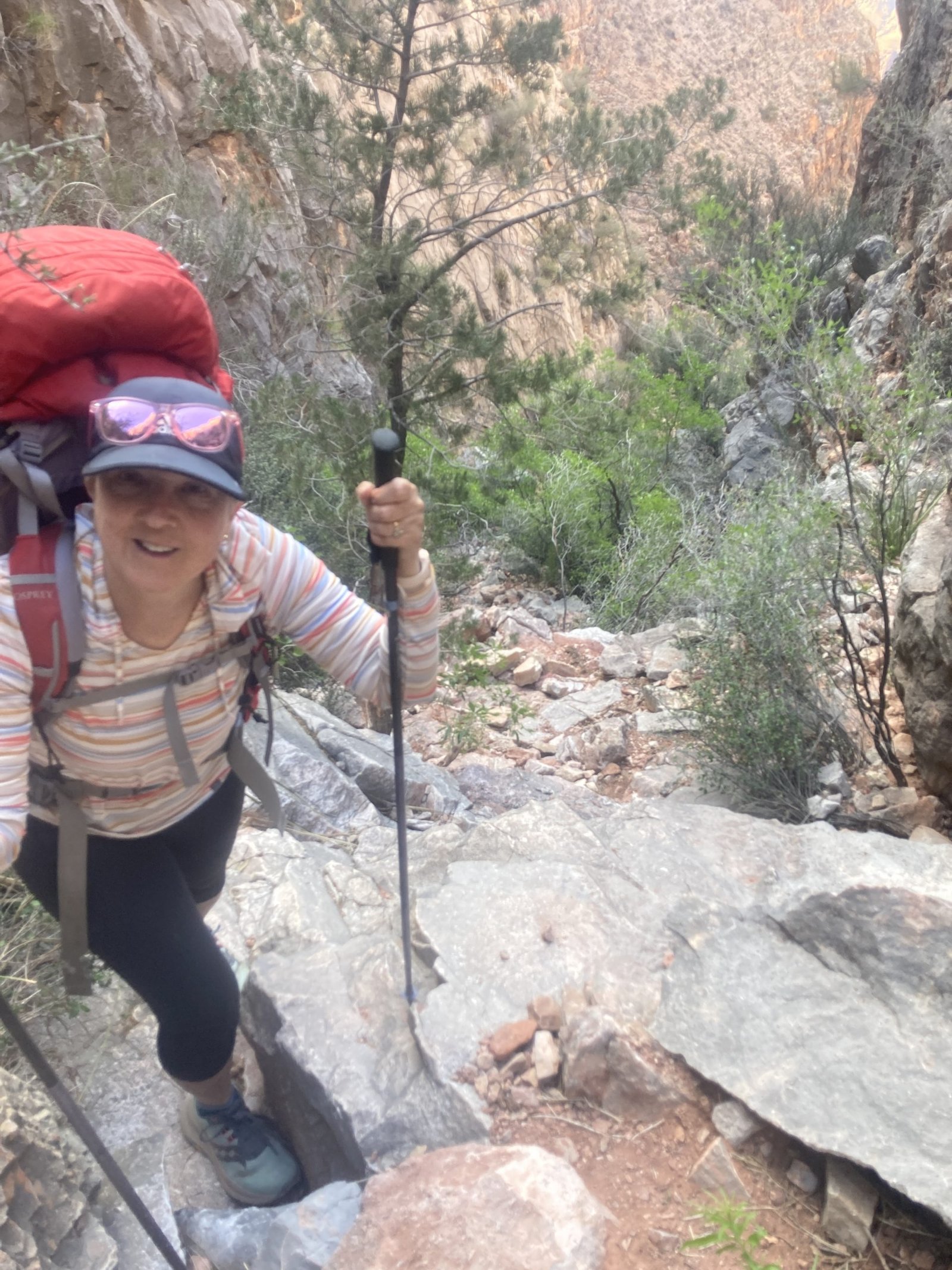
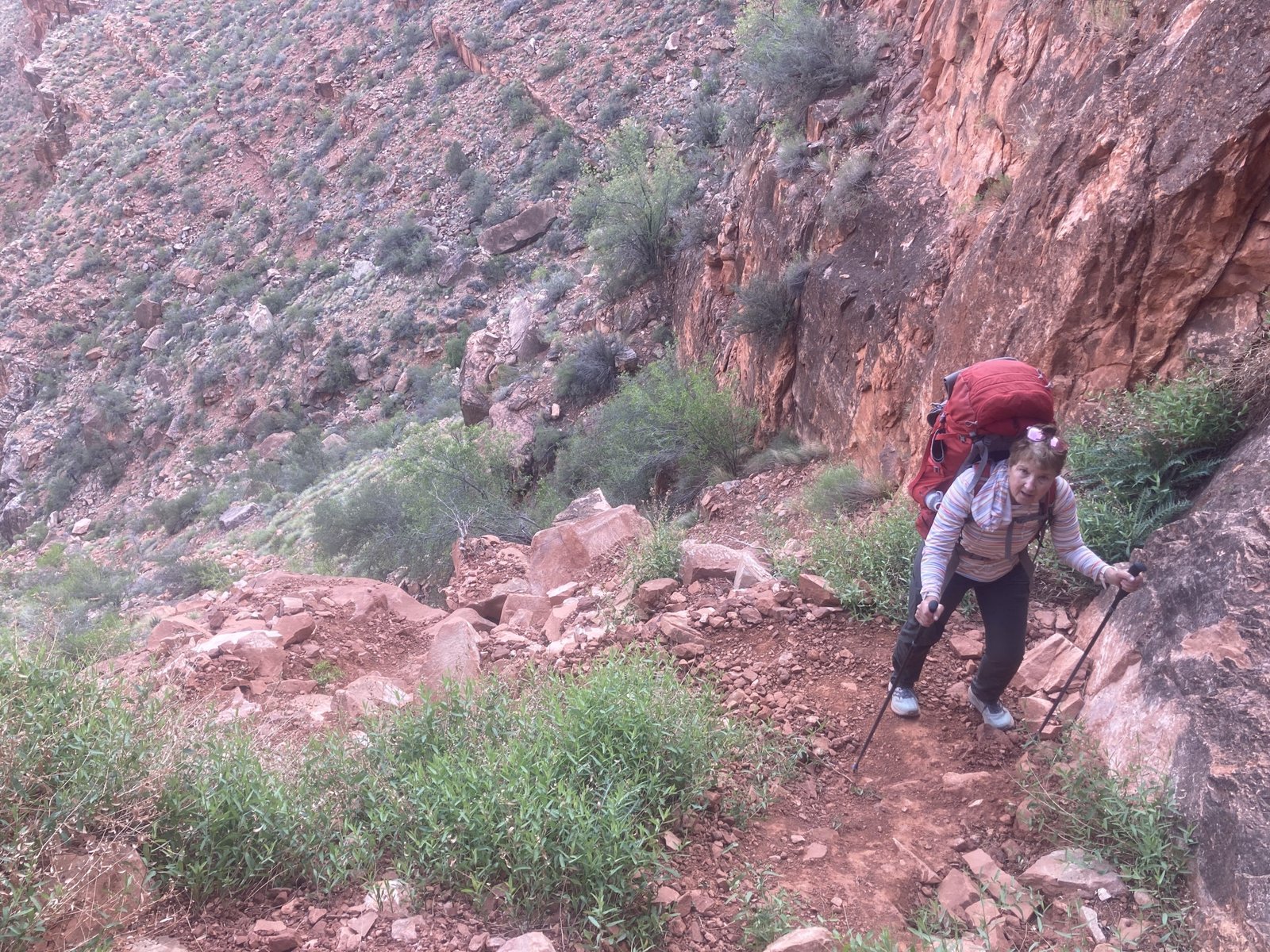
Whoa. Looking over the edge of Slate canyon to where we were to climb down was an initial shock. It looked straight down. Fortunately, there were lots of plants and rocks to be able to steady yourself with. And, I wasn’t sure how my knee would hold up. But, I took a chance.
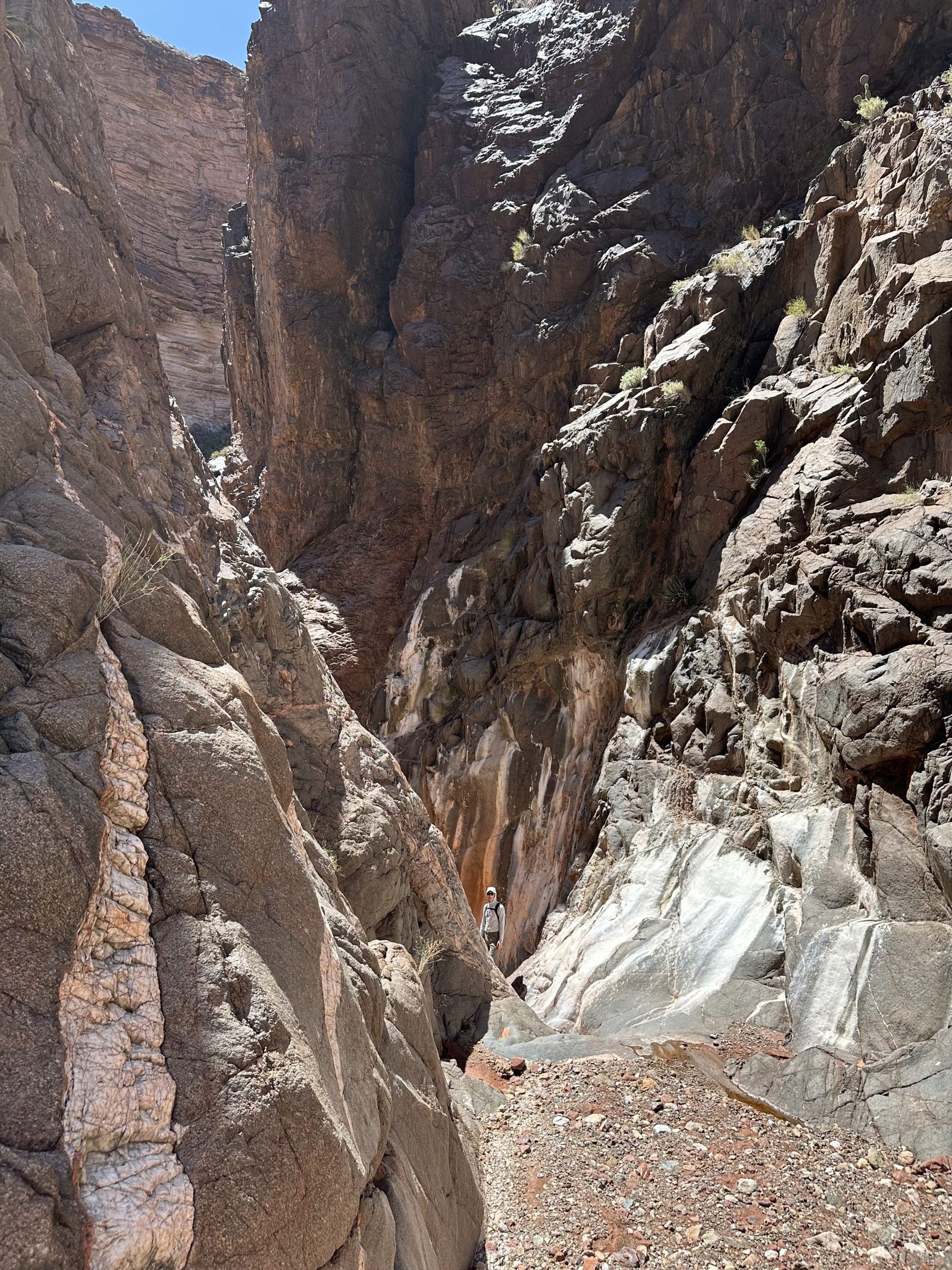
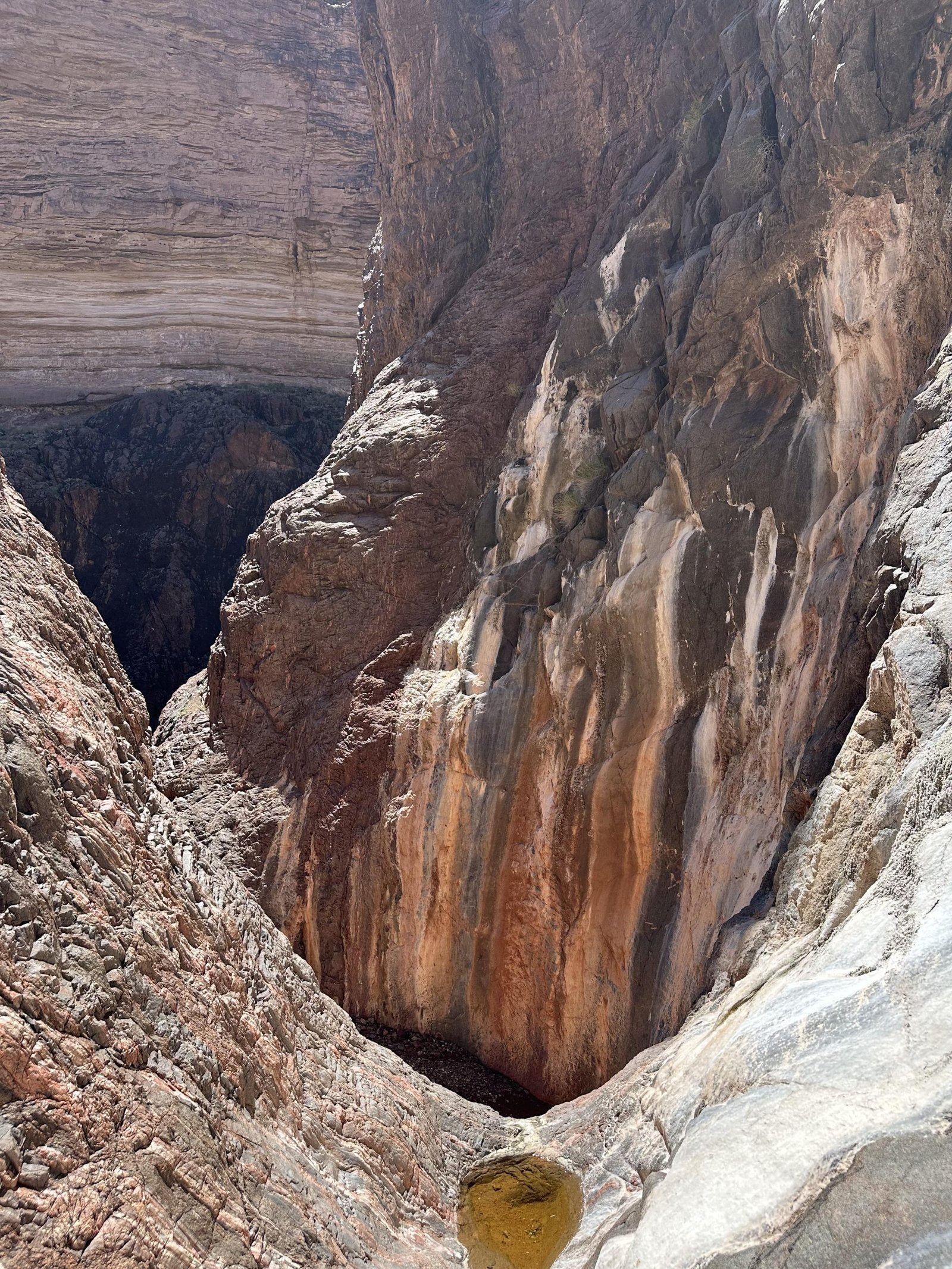
Down below, we could see small pools of water. Better than nothing. But, maybe we could get water from the river. We kept climbing down. We stayed left of the monument or pinnacle there in order to get to the water first–I had heard you should stay right.


Upon reaching the floor of the canyon, we found the water was actually trickling. A good sign. But we wanted to see if we could continue on down to the river. We quickly found out why my research suggested the right side of the pinnacle. After a few minor pouroffs, you reach an impassable pouroff. Still, it was really pretty.


We scrambled back up to the monument and had lunch. There were some nice rocks to sit on and some shade on the north side. We all talked about whether or not to go down the right side. But, it looked terrifying. It seemed near vertical. I knew for sure it wouldn’t be a good idea with my recently recovering knee. I volunteered to stay behind. In the end, we all decided to forego it. Would you scramble down this?
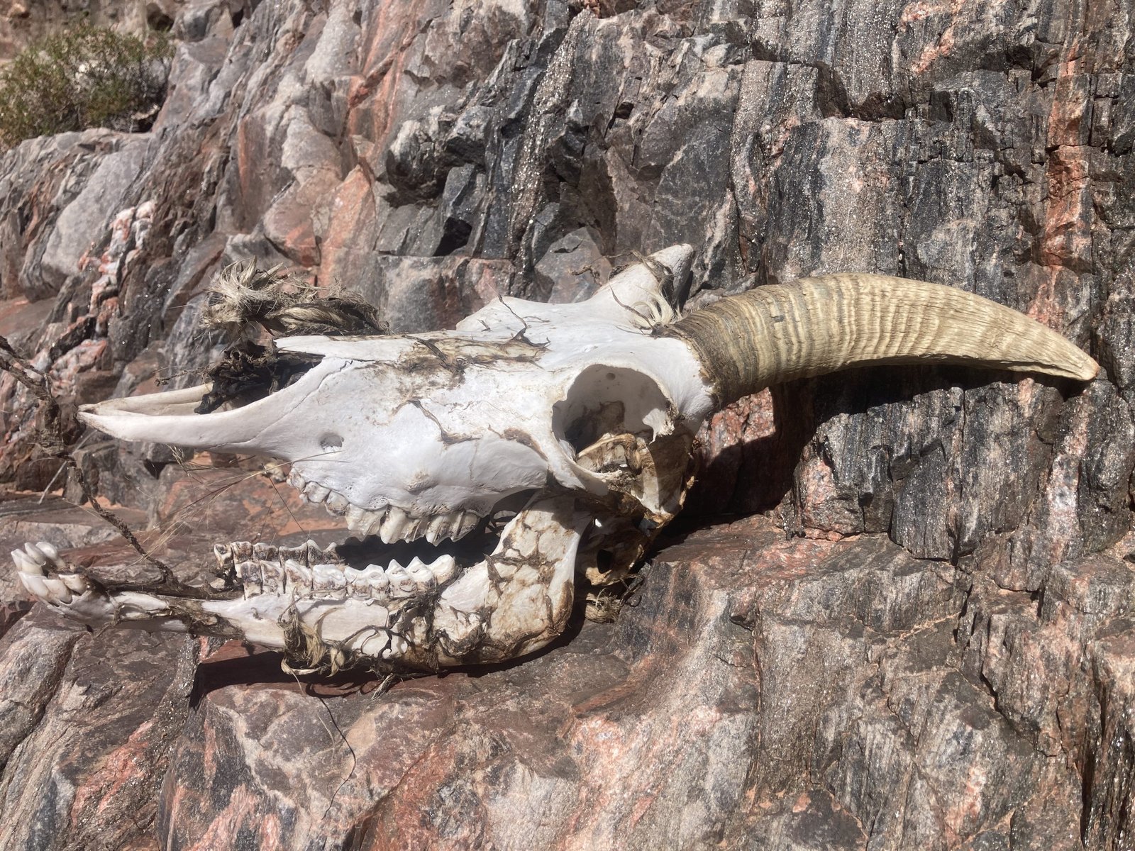
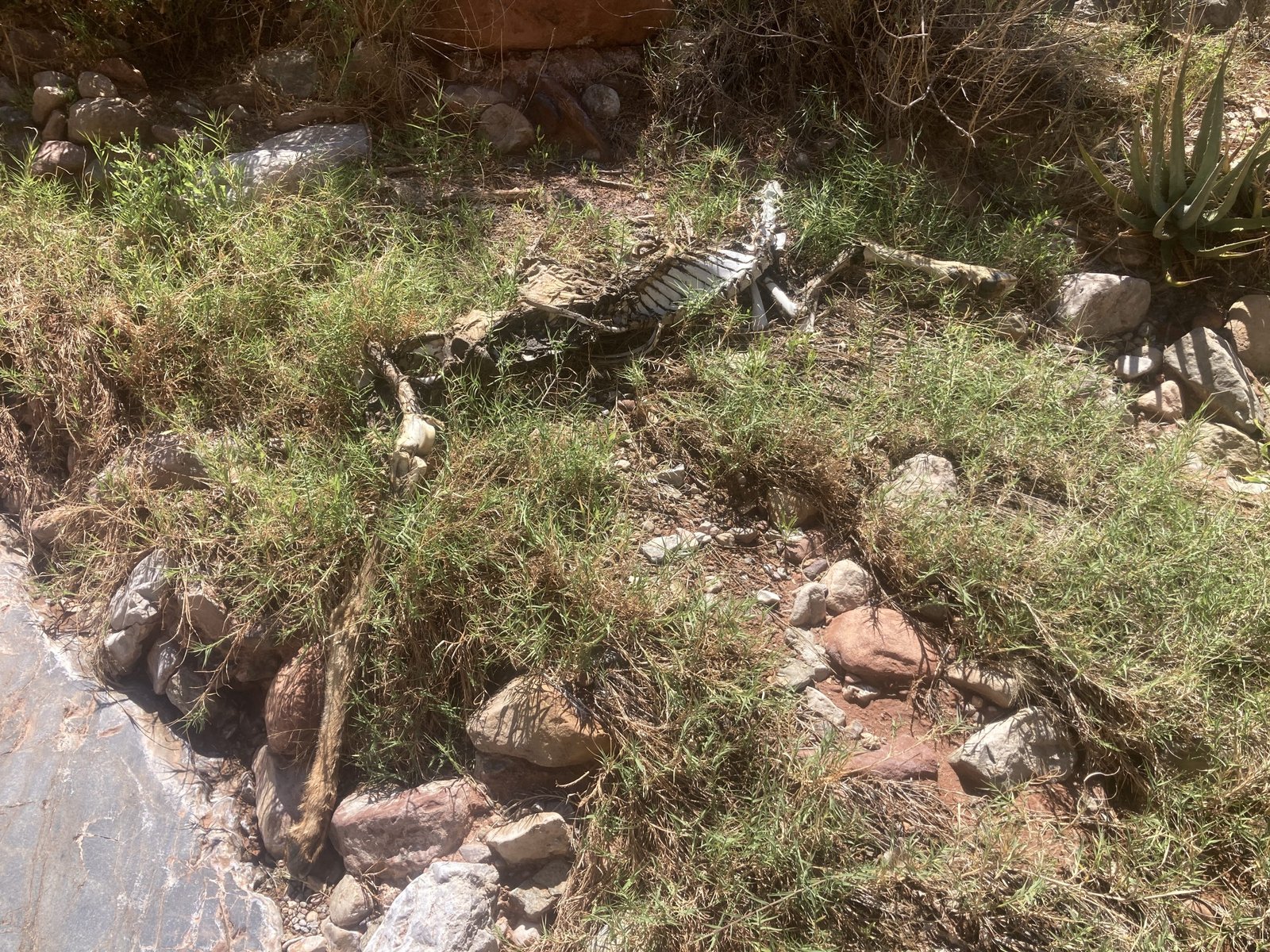
After sitting a bit longer, the guys decided to go back down the left side and collect some water. They found the skull of a bighorn sheep. And then the rotting body. They decided to take water from above this point. Eeesh. Hilary and I stayed up at the monument, enjoying the view and the warm sunshine.


When we got back to camp, we had a debate. Should we spend our second night in the same spot? It was already set up. We could just chill. But we’d be sitting around for a while.
Or…
Should we pack up and move camp a few miles closer to Boucher? We’d have less to travel in the morning and be closer to fresh water.
We decided to pack up and go.
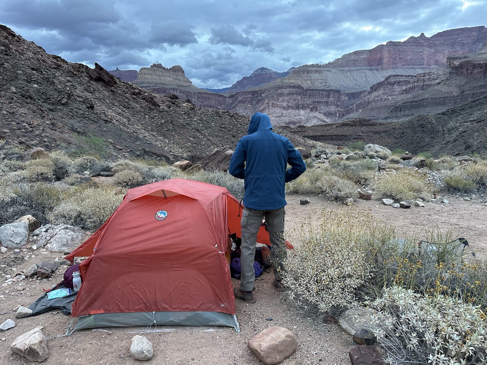
Slate canyon was monstrous on the east side. I should have looked at the map. It was big, with lots of ups and downs and ins and outs. Fortunately, it was net downhill. We reached the flats in the golden hour and the canyon and river were so pretty. We set up camp at the rim’s edge.
Day Eight - 4/18/2026
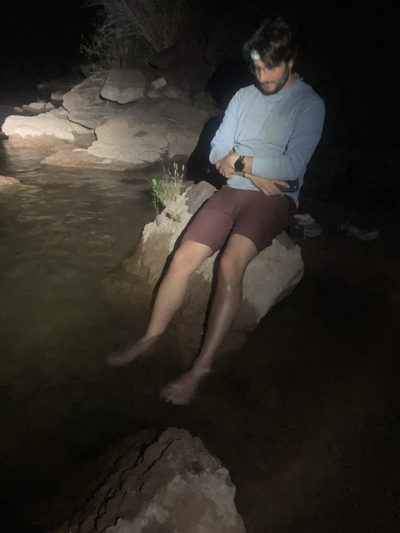
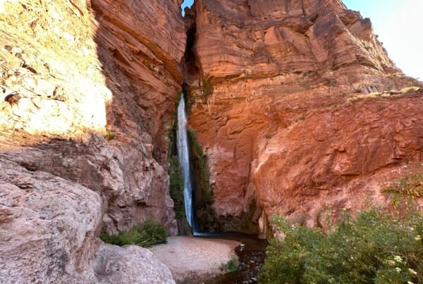
Another beautiful day in the canyon. We just had a half mile to get to Boucher creek, fresh running water! Fortunately, we had enough leftover water for dinner the night before and breakfast that morning that we didn’t need the brown Slate canyon water and could wait for the crystal clear Boucher water. We dumped out what we had carried. Ugh. Lenny and I packed up and headed down the trail to Boucher creek. Reid and Hilary followed shortly after.
We arrived at Boucher creek pretty quickly. I think I was expecting a full-on, rushing creek but, it was just a small stream. Either way, it was cool and clear. We grabbed water then soaked our feet. That felt heavenly!


Our goal for the day was to climb up to the next level and camp at White’s Butte. It’s a 2000 ft climb in just 2 miles. That’s pretty steep, especially considering that the first mile just heads up the creek. Lenny and I decided to go ahead. Reid and Hilary stayed back for a side trip to the river.
After a mile the switchbacks start. They are steep and relentless. There’s no shade and it was a little hot. Plus, we were carrying water for the rest of the day and the next day. We’re probably up about 1000 ft when a young man runs by us—uphill! You can see him if you zoom in on the first picture.


Lenny and I climbed ever higher. The trail got steeper and steeper. When it got to the notch in the gully, I was using both hands and feet! It was crazy steep and at the end, you’re just scrambling up solid rock faces.


At last, we climbed out. What a relief! We quickly found a nice flat spot to set up camp and enjoyed our last sunset dinner. Shortly after we sat down, Reid and Hilary arrived.
Day Nine - April 19, 2026
For the last time, Lenny and I packed up and headed out. We would stop for breakfast on the trail. Hilary and Reid would eat first then pack up and head out. We always met up just as soon as we finished our breakfast. This day was no different.
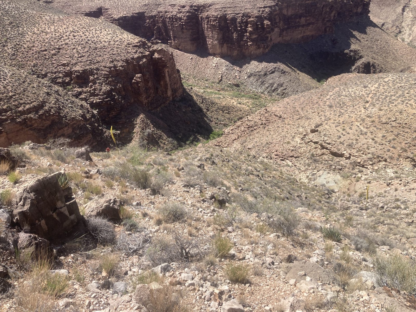
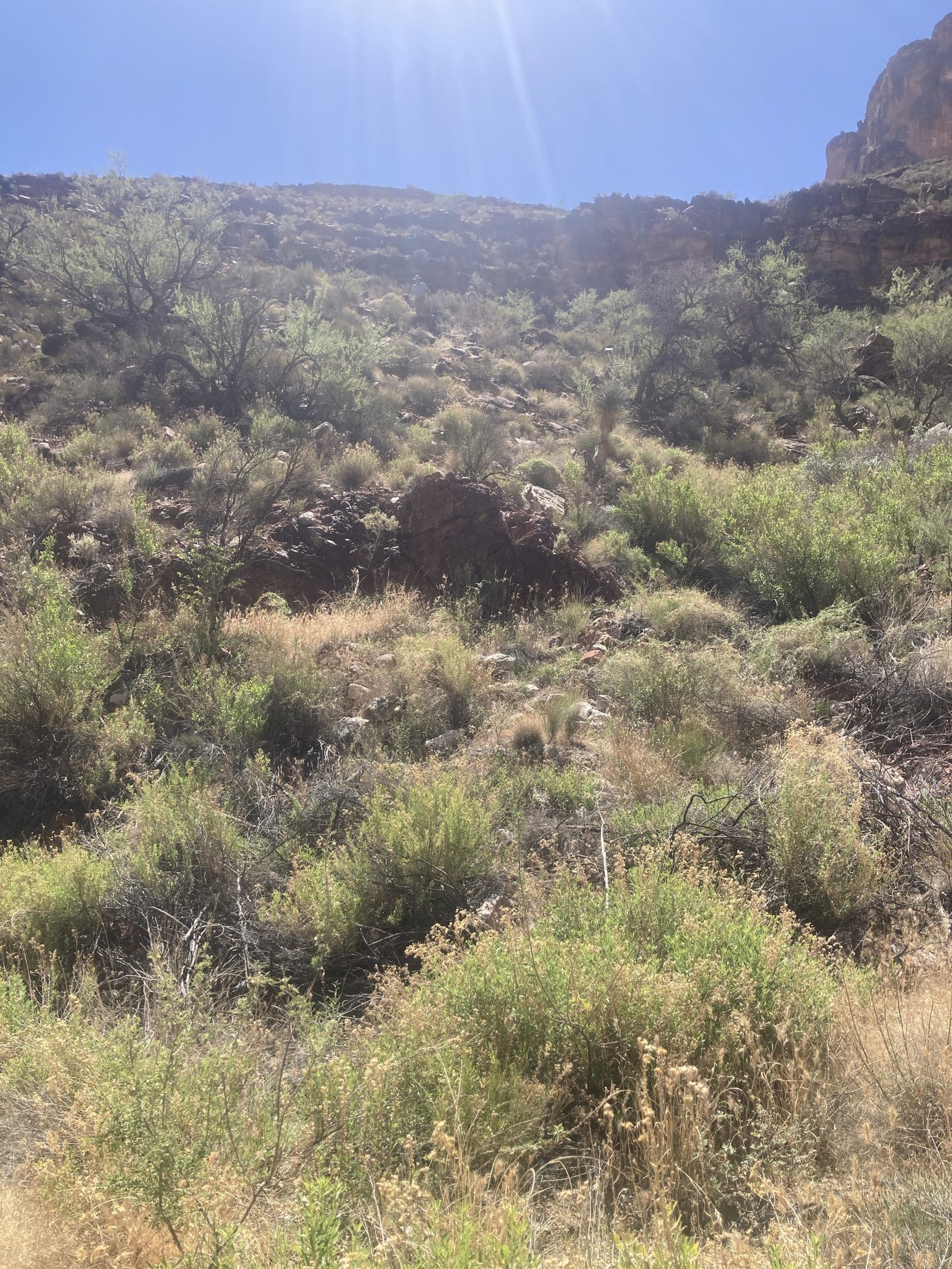
Hitting the back (head) of this canyon, the trail went just about straight up! Continuous big steps and not always the best footing. There are a few, very difficult trails in the canyon and this is definitely one of them.
As we were finishing breakfast, with a lovely view, we could see Reid and Hilary working their way up towards us. Can you spot them?
We finally reached a level in the canyon that flattened out. Finally! It was relatively smooth sailing for a while.


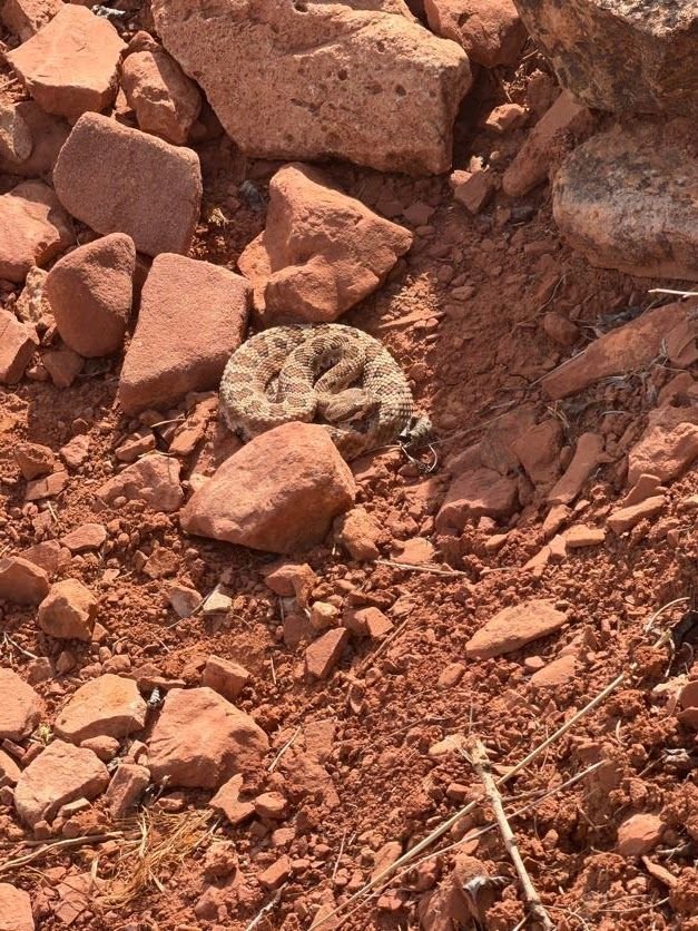
Suddenly, Reid stopped us.
“Rattlesnake!” he said.
It was a juvenile, coiled up next to a rock. Reid quickly snapped a picture before the snake slithered off to hide. They don’t really want to hurt you but this one would have been easy to step on!
We carefully stepped way around where he was and continued on our way.
This section of the trail is just lovely! It’s relatively flat and easy, letting you just enjoy the view.
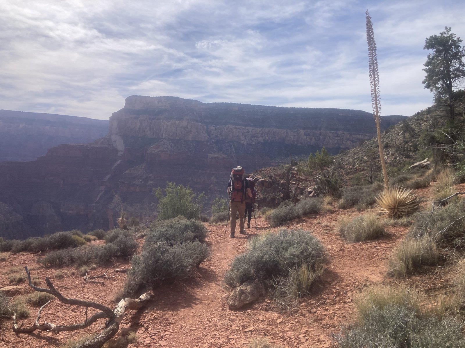
But, then you round the corner and head into the inner canyon. While it’s still relatively flat, the trail sometimes narrows as it goes through gullies that tumble thousands of feet down.
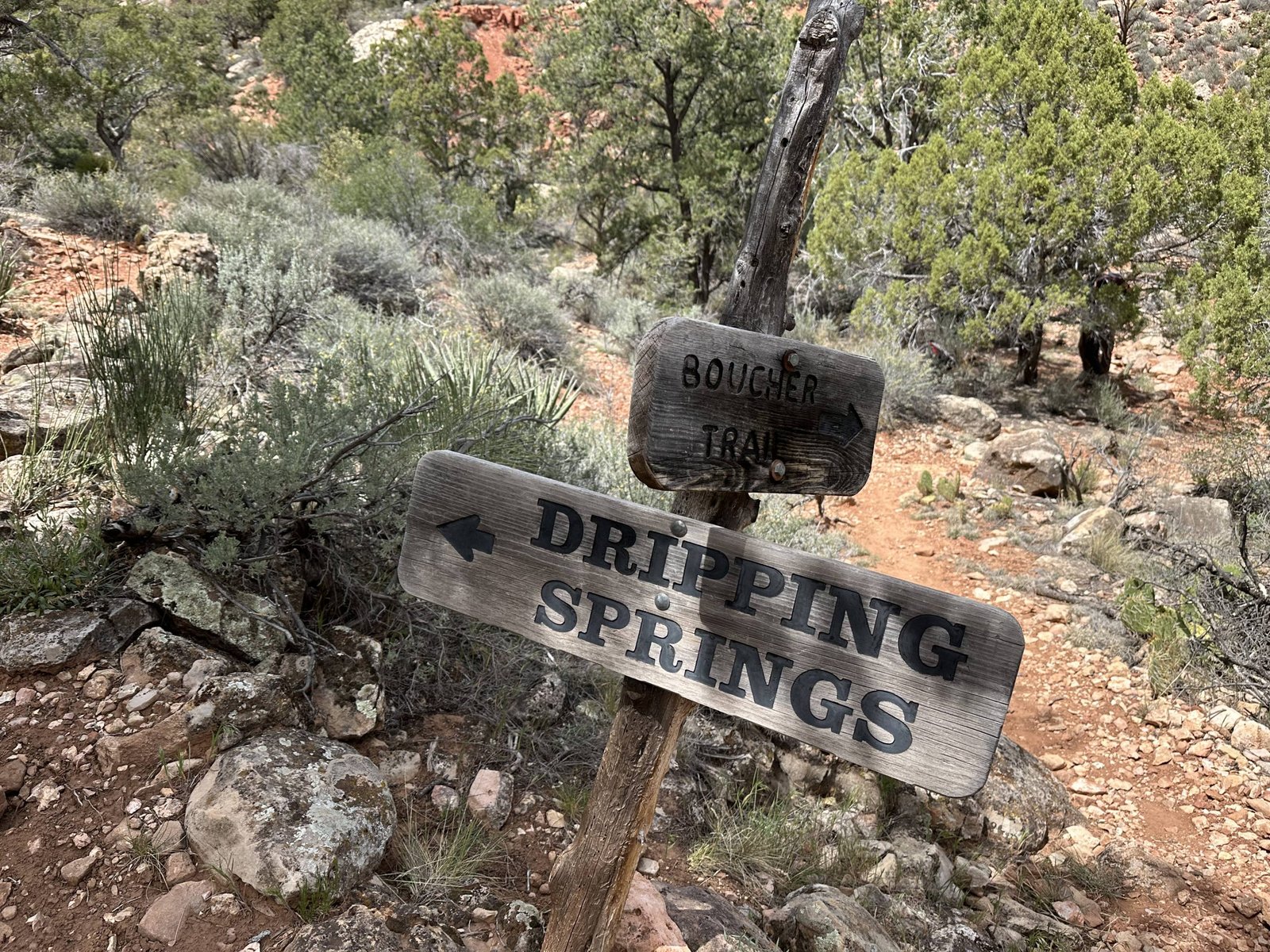
But, it wasn’t horrible and not too long, spanning about 2 miles total. That’s when we finally reached the intersection with Dripping Springs.
(Per AI) In the early 1900s, the site was developed by Ralph Henry Cameron, a miner, entrepreneur, and later U.S. senator who ran a private toll road and trail system on the South Rim. He improved the route now known as the Bright Angel Trail and built a small rest area at Dripping Springs. The “springs” themselves are a seep where water slowly drips from the rock, creating a cool, shaded spot—valuable in the desert environment. Cameron constructed a cabin and facilities there so tourists (often arriving by mule) could rest on their way down into the canyon.
We sat down for lunch but did not take the spur trail to Dripping Springs. Maybe another day.
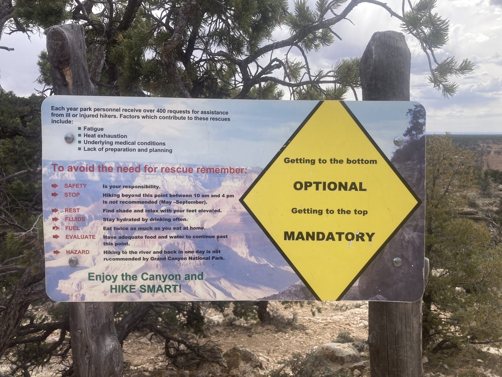
We sat for almost an hour, finishing our lunch and just resting before the final push: 2.5 miles. A stout 1,500 ft climb in the final 1.5 miles hits pretty hard. While we were there, unbeknownst to us, we were getting bitten by “No-see-ums.” These are miniature bugs called Midges. I hate Midges! (My apologies to my friend Midge). Their bites are 10 times worse than mosquito bites and the itch lasts for days. My legs looked like I had chicken pox.
Going up the trail after it joins with the Hermit trail a mile later, it was pretty cool to see the trail work. It looks like cobblestone and is called riprap.
(Per AI) “Riprap” refers to the hand-placed stone walls, steps, and embankments built to stabilize the trail. In the Grand Canyon, much of this work was done between about 1900 and the 1930s, first by private trail builders like Ralph Henry Cameron and later by crews working under the National Park Service. These workers quarried rock right from the canyon and carefully fitted it together—without mortar—to create durable retaining walls, stair steps, and switchbacks that could withstand erosion, flash floods, and constant mule and foot traffic.
That last 1.5 miles seemed to go on forever. Not just for us but for everyone on the trail. It was SO steep! When one of us passed another, we gave that knowing look. It’s a pretty difficult climb after you’ve done the other climbs just to get there. But, that’s the Grand Canyon for you.
Hilary and Reid surfaced first (oh to be young!). And, they had enough time to greet us an hour later with a cold can of Coke. It was so refreshing! As we drove away from the trailhead, we talked about whether to drive to South Bass that afternoon to get Lenny’s car or wait till morning. Waiting meant a delay in Hilary and Reid’s drive home to get back for work the following day. They decided it was worth waiting so we could spend a few minutes at the South Rim and enjoy the ice cream that we all had talked about the whole trip!
THE END!
#goplayoutside
#dosomethingepic